
MyTopo
Hopper Gulch Idaho US Topo Map
Couldn't load pickup availability
Also explore the Hopper Gulch Forest Service Topo of this same quad for updated USFS data
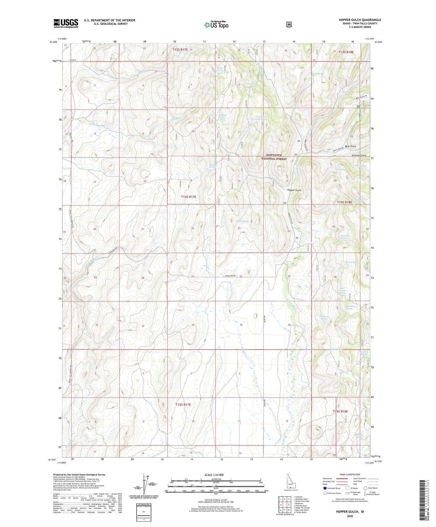
2023 topographic map quadrangle Hopper Gulch in the state of Idaho. Scale: 1:24000. Based on the newly updated USGS 7.5' US Topo map series, this map is in the following counties: Twin Falls. The map contains contour data, water features, and other items you are used to seeing on USGS maps, but also has updated roads and other features. This is the next generation of topographic maps. Printed on high-quality waterproof paper with UV fade-resistant inks.
Quads adjacent to this one:
West: Rogerson
Northwest: Hollister
North: McMullen Basin
Northeast: Grand View Peak
East: Pike Mountain
Southeast: Timber Butte
South: Big Creek Ranch
Southwest: Magic Hot Springs
This map covers the same area as the classic USGS quad with code o42114b4.
Contains the following named places: Alvins Well, Arnolds Gulch, Bear Gulch, Bear Gulch Campground, Bone Spring, Browns Spring, Buck Trough Spring, Cow Spring, Cub Spring, Fourth of July Spring, Hopper Gulch, Hopper Gulch Spring, Junction Spring, Lone Pine Spring, Nelson Spring, North Fork Deep Creek, Northeast Spring, Parker Spring, Pole Camp Creek, Section Spring, Soldier Spring, South Fork Deep Creek, Southeast Spring, Stratton Spring, Whir Spring, Whittle Spring


