MyTopo
Plano Idaho US Topo Map
Couldn't load pickup availability
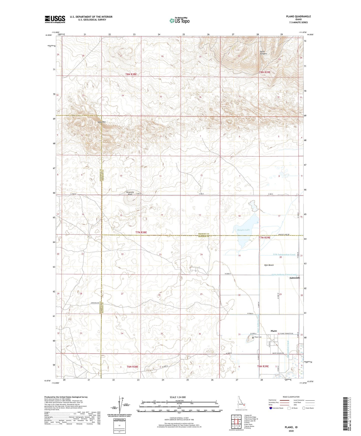
2023 topographic map quadrangle Plano in the state of Idaho. Scale: 1:24000. Based on the newly updated USGS 7.5' US Topo map series, this map is in the following counties: Fremont, Madison, Jefferson. The map contains contour data, water features, and other items you are used to seeing on USGS maps, but also has updated roads and other features. This is the next generation of topographic maps. Printed on high-quality waterproof paper with UV fade-resistant inks.
Quads adjacent to this one:
West: Market Lake NE
Northwest: Dubois SE
North: Big Grassy Ridge
Northeast: Big Grassy Ridge SE
East: Parker
Southeast: Rexburg
South: Menan Buttes
Southwest: Deer Parks
This map covers the same area as the classic USGS quad with code o43111h8.
Contains the following named places: Edmonds, Ninemile Knoll, Plano, Plano Cemetery, Quayles Lake, Sand Mountain