MyTopo
Rupert Idaho US Topo Map
Couldn't load pickup availability
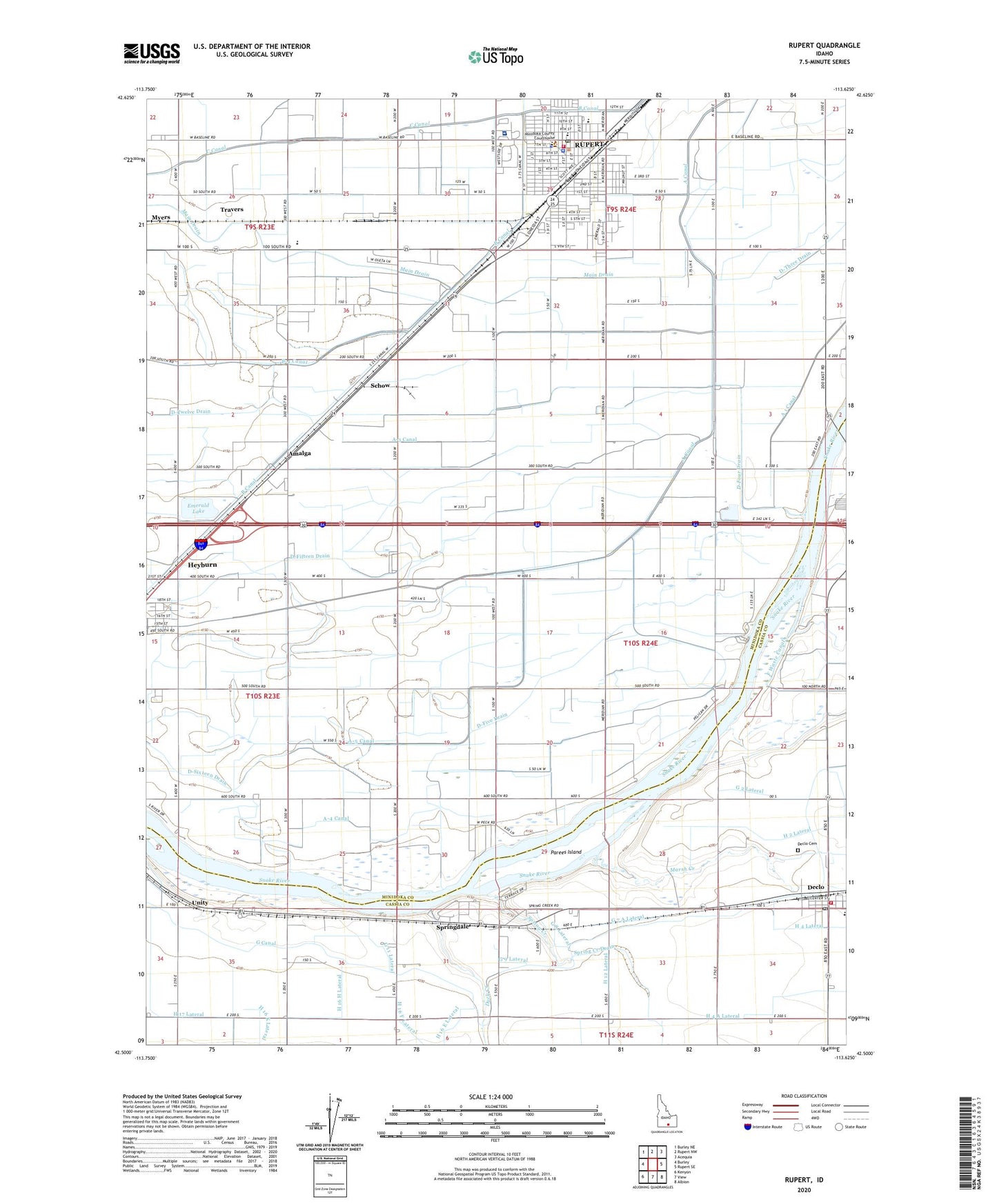
2023 topographic map quadrangle Rupert in the state of Idaho. Scale: 1:24000. Based on the newly updated USGS 7.5' US Topo map series, this map is in the following counties: Minidoka, Cassia. The map contains contour data, water features, and other items you are used to seeing on USGS maps, but also has updated roads and other features. This is the next generation of topographic maps. Printed on high-quality waterproof paper with UV fade-resistant inks.
Quads adjacent to this one:
West: Burley
Northwest: Burley NE
North: Rupert NW
Northeast: Acequia
East: Rupert SE
Southeast: Albion
South: View
Southwest: Kenyon
This map covers the same area as the classic USGS quad with code o42113e6.
Contains the following named places: A-3 Canal, A-4 Canal, A-5 Canal, Amalga, B Canal, City of Declo, City of Rupert, Danny Turner Pipeline, Declo, Declo Cemetery, Declo Drain, Declo Elementary School, Declo Post Office, D-Fifteen Drain, D-Five Drain, D-Four Drain, D-Sixteen Drain, Duck Creek, Emerald Lake, F Waste Canal, G 11 A Lateral, G 11 Lateral, G 2 Lateral, G 7 A Lateral, G 8 Lateral, G 9 Lateral, H 12 N Lateral, H 16 F Lateral, H 16 H Lateral, H 16 J Lateral, H 16 K Lateral, H 2 A Lateral, H 2 D Lateral, H 2 Lateral, H 4 A Lateral, H 4 Lateral, KBBK-AM (Rupert), KNAQ-FM (Rupert), Lincoln School, Marsh Creek, Mini - Cassia Juvenile Detention Center, Minico Senior High School, Minidoka County Sheriff's Office, Minidoka Memorial Hospital, Minidoka Memorial Hospital Heliport, Minidoka Pond Access Area, Mount Harrison Junior - Senior High School, Neptune Park, North Cassia Rural Fire Department, Parees Island, Pershing Intermediate School, Rupert, Rupert City Fire and Rescue Department, Rupert Country Club, Rupert Police Department, Rupert Post Office, Saint Nicholas School, Schow, Spring Creek, Springdale, Springdale Kindergarten School, Travers, Unity, Washington School