MyTopo
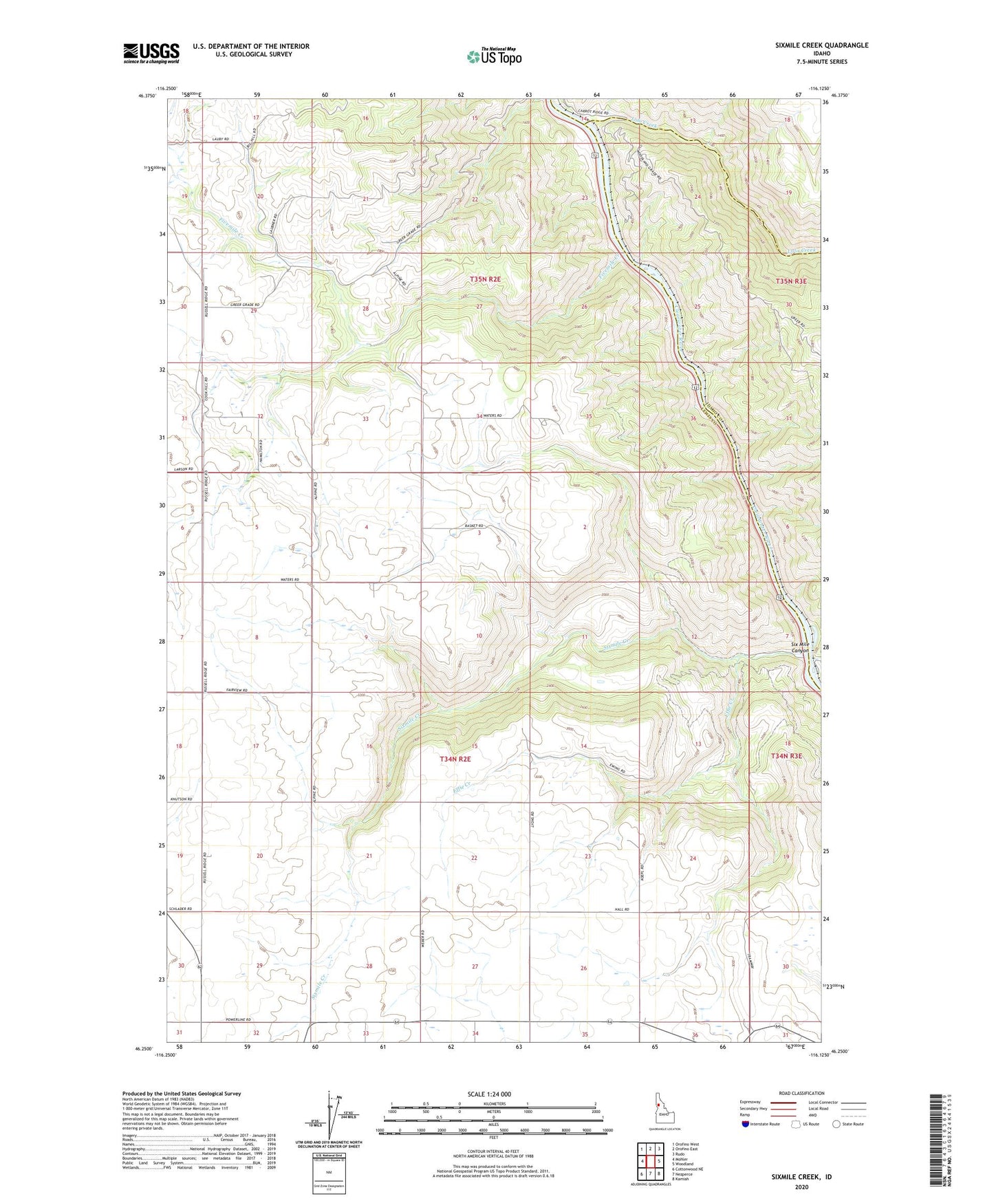
Sixmile Creek Idaho US Topo Map
Couldn't load pickup availability
Also explore the Sixmile Creek Forest Service Topo of this same quad for updated USFS data
2024 topographic map quadrangle Sixmile Creek in the state of Idaho. Scale: 1:24000. Based on the newly updated USGS 7.5' US Topo map series, this map is in the following counties: Lewis, Idaho, Clearwater. The map contains contour data, water features, and other items you are used to seeing on USGS maps, but also has updated roads and other features. This is the next generation of topographic maps. Printed on high-quality waterproof paper with UV fade-resistant inks.
Quads adjacent to this one:
West: Mohler
Northwest: Orofino West
North: Orofino East
Northeast: Rudo
East: Woodland
Southeast: Kamiah
South: Nezperce
Southwest: Cottonwood NE
This map covers the same area as the classic USGS quad with code o46116c2.
Contains the following named places: Effie Creek, Fivemile Creek, Lolo Creek, Nezperce Division, Pardee, Six Mile Canyon, Sixmile Creek, ZIP Code: 83543