MyTopo
Brussels Illinois US Topo Map
Couldn't load pickup availability
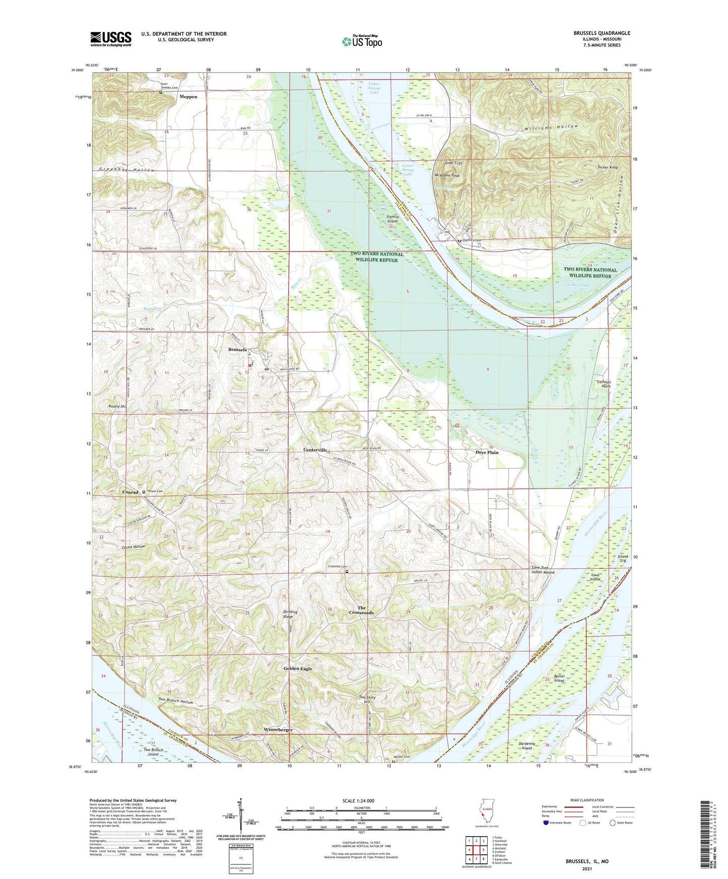
2024 topographic map quadrangle Brussels in the states of Illinois, Missouri. Scale: 1:24000. Based on the newly updated USGS 7.5' US Topo map series, this map is in the following counties: Calhoun, Jersey, St. Charles. The map contains contour data, water features, and other items you are used to seeing on USGS maps, but also has updated roads and other features. This is the next generation of topographic maps. Printed on high-quality waterproof paper with UV fade-resistant inks.
Quads adjacent to this one:
West: Winfield
Northwest: Foley
North: Nutwood
Northeast: Otterville
East: Grafton
Southeast: Saint Charles
South: Kampville
Southwest: O'Fallon
Contains the following named places: Auer Landing, Blooms Landing, Bolter Island, Brock Landing, Brussels, Brussels - Point Fire Protection District, Brussels High School, Brussels Post Office, Brussels School, Calhoun Point, Centerville, Conrad, Cresswell Cemetery, Deep Lake, Deer Lick Hollow, Deer Plain, Deer Plain School, Flat Lake, Fruitland School, Fulkerson Landing, Gilbert Lake, Goat Cliff, Golden Eagle, Greenbay Hollow, Hartford Cemetery, Hartford Church, Hartford School, Hetzer Cemetery, Iowa Island, Island 518, Johnson Landing, Keck School, Knolle Hill, Liberty School, Little Rock School, Lone Tree Indian Mound, Lower Stump Lake, Macker Cemetery, Marshall Landing, McAdams Peak, Meppen, Metz Creek, Miller Landing, Murphy Slough, Pere Marquette State Park, Point Election Precinct, Point Fire Protection District Station 2, Point Pleasant School, Royal Lake, Royal Landing, Royal Landing Access Area, Saint Josephs Cemetery, Schmieder Landing, Sixmile Island, Sixmile Slough, Swan Lake, Taylor Lake, The Crossroads, Tucker Knob, Twin Springs, Two Branch Hollow, Two Rivers National Wildlife Refuge, Two Story Hill, Vans Camp, Village of Brussels, Williams Hollow, Williams Hollow School, Winneberger, ZIP Codes: 62013, 62036


