MyTopo
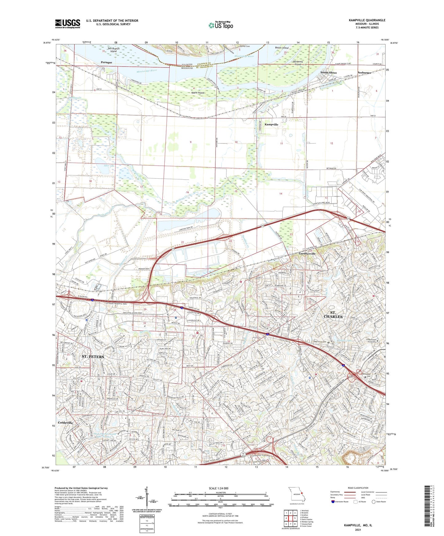
Kampville Missouri US Topo Map
Couldn't load pickup availability
2021 topographic map quadrangle Kampville in the states of Missouri, Illinois. Scale: 1:24000. Based on the newly updated USGS 7.5' US Topo map series, this map is in the following counties: St. Charles, Calhoun. The map contains contour data, water features, and other items you are used to seeing on USGS maps, but also has updated roads and other features. This is the next generation of topographic maps. Printed on high-quality waterproof paper with UV fade-resistant inks.
Quads adjacent to this one:
West: O'Fallon
Northwest: Winfield
North: Brussels
Northeast: Grafton
East: Saint Charles
Southeast: Creve Coeur
South: Chesterfield
Southwest: Weldon Spring
This map covers the same area as the classic USGS quad with code o38090g5.
Contains the following named places: Apple Island, Baldwin School, Barnes - Jewish Saint Peters Hospital, Becks Landing, Belleau Creek, Black Jack School, Boggy Road Shopping Center, Cave Spring Crossing Shopping Center, Cave Springs School, Cave Springs Square Shopping Center, Central County Fire and Rescue Station 3, Central County Fire and Rescue Station 4, Central County Fire and Rescue Station 5, City of Saint Charles, City of Saint Peters, Coalbank Hollow, Cole Creek, Dardenne Creek, Dardenne Island, Dixon Landing, Dr. Bernard J. DuBray Middle School, Early Childhood Family Education Center - Hackmann Road, Fairmount Elementary School, Fort Zumwalt East High School, Francis Howell North High School, Friedens Church, Friedens School, Fruitland Landing, Gardnerville, George M Null Elementary School, Golden Eagle Ferry, Hafers Lake, Hafers Lake Dam, Harvest Ridge Elementary School, Hawthorn Elementary School, Henderson Elementary School, Heritage Landing Alternative School, Jefferson Intermediate School, Kampville, Kampville School, Lewis and Clark Career Center, Lewis and Clark Elementary School, McCann Landing, Methodist Cemetery, Mid Rivers Center Shopping Center, Midrivers Mall, Monroe Elementary School, Oak Grove Cemetery, Park Charles South Lake Number 1, Park Charles South Lake Number 2, Park Charles South Number 1 Dam, Park Charles South Number 2 Dam, Peruque, Regency Plaza Shopping Center, Regency Square Shopping Center, River Road Park, Saint Andrews Plaza Shopping Center, Saint Charles Fire Department Station 3, Saint Charles Fire Department Station 5, Saint Charles Plaza, Saint Charles Police Department, Saint Charles Post Office, Saint Charles West High School, Saint Peters Elementary School, Saint Peters Police Department, Saint Peters Spencer Center Sewage Treatment Plant, Sandfort Creek, Seebarger, Seeburger, Silver Lake, Sontimer Airport, South Shore, Spencer Creek, Spencer School, Township of Cave Springs, Township of Friedens, Township of Frontier, Township of Lindenwood, Township of Saint Charles, Township of Saint Peters, Township of Spencer Creek, Township of Zumbehl, Two Branch Island, Warwick Downs Lake Dam, Westfield Shopping Town-Mid Rivers Shopping Center, Willie M. Harris Elementary School, Zumbehl Commons Shopping Center, ZIP Code: 63376


