MyTopo
Erie NW Illinois US Topo Map
Couldn't load pickup availability
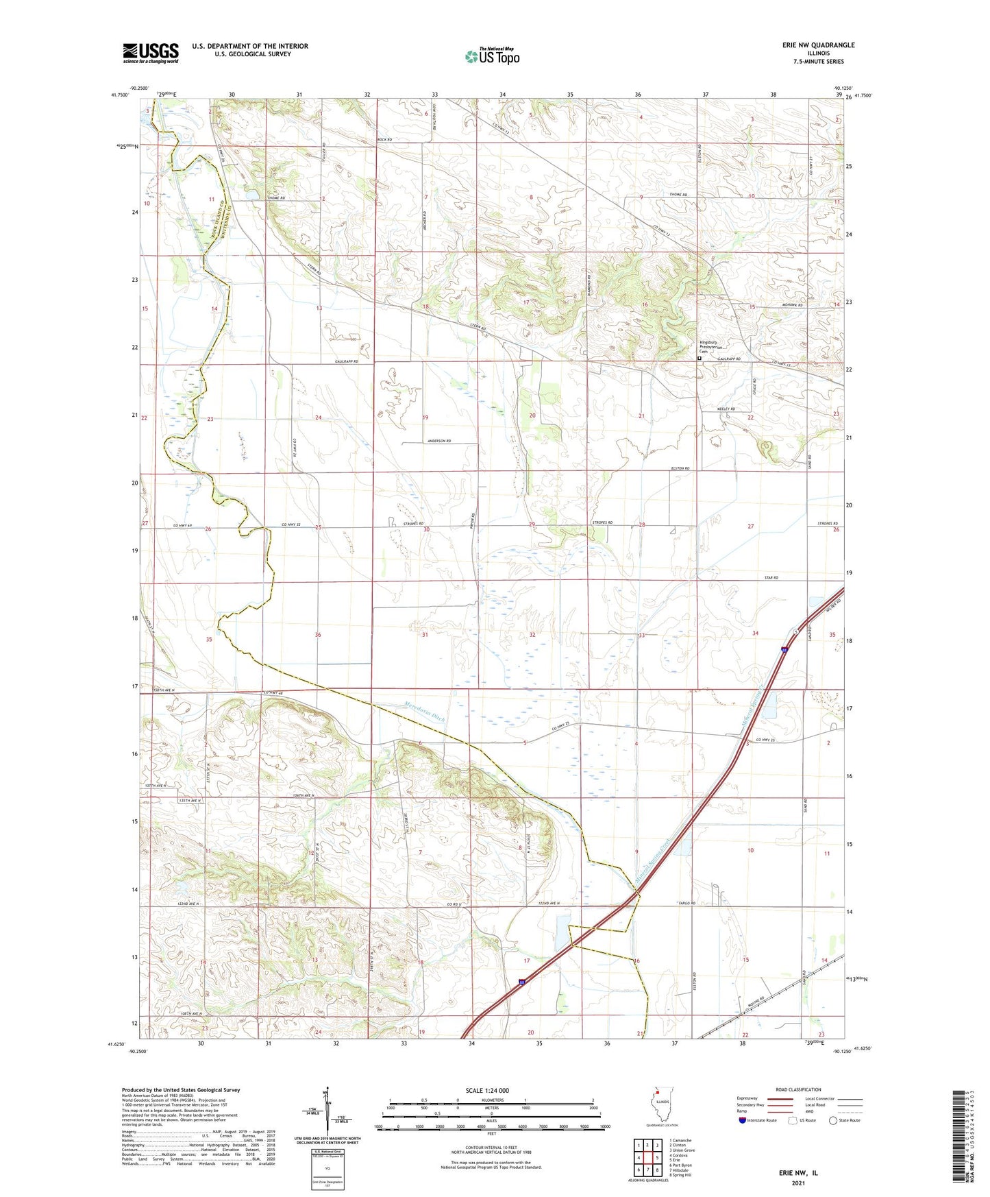
2024 topographic map quadrangle Erie NW in the state of Illinois. Scale: 1:24000. Based on the newly updated USGS 7.5' US Topo map series, this map is in the following counties: Whiteside, Rock Island. The map contains contour data, water features, and other items you are used to seeing on USGS maps, but also has updated roads and other features. This is the next generation of topographic maps. Printed on high-quality waterproof paper with UV fade-resistant inks.
Quads adjacent to this one:
West: Cordova
Northwest: Camanche
North: Clinton
Northeast: Union Grove
East: Erie
Southeast: Spring Hill
South: Hillsdale
Southwest: Port Byron
This map covers the same area as the classic USGS quad with code o41090f2.
Contains the following named places: Anglese School, Bethel Church, Dublin School, Enterprise School, Kamy Field, Kingsbury Presbyterian Cemetery, Kingsbury School, Main Ditch, Meredosia Ditch, Millers Grove, Mineral Spring Creek, Old Stage Line Monument, Township of Albany, Township of Newton, Wheelock School, ZIP Code: 61230