MyTopo
Fandon Illinois US Topo Map
Couldn't load pickup availability
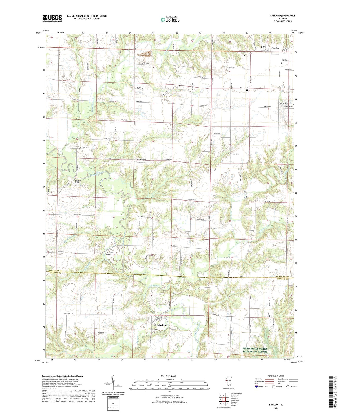
2024 topographic map quadrangle Fandon in the state of Illinois. Scale: 1:24000. Based on the newly updated USGS 7.5' US Topo map series, this map is in the following counties: McDonough, Schuyler. The map contains contour data, water features, and other items you are used to seeing on USGS maps, but also has updated roads and other features. This is the next generation of topographic maps. Printed on high-quality waterproof paper with UV fade-resistant inks.
Quads adjacent to this one:
West: Plymouth
Northwest: Fountain Green
North: Colchester
Northeast: Macomb
East: Doddsville
Southeast: Erwin
South: Camden
Southwest: Augusta
This map covers the same area as the classic USGS quad with code o40090c7.
Contains the following named places: Archer - Bethel Cemetery, Beckford Branch, Birmingham, Buncombe School, Camp Creek, Camp Creek Church of the Brethren, Clark Airport, Colmar-Plymouth Oil Field, Cow Ford Bridge, Dowacter Airport, Duncan Church, Dunkard Cemetery, Dunsworth Cemetery, Eagle Community Church, Eagle Free Methodist Church, Eagle School, East School, Fandon, Fandon Christian Church, Fandon School, Flour Creek, Gibson Cemetery, Grindstone Creek, Guinea School, Hogwallow Branch, Lamoine Bridge, Lamoine Chapel, Miler Grave, Noel Cemetery, Prather Cemetery, Scott Cemetery, Scott Church, Shanghai School, Stookey School, Sullivan Cemetery, Township of Lamoine, Troublesome Creek, Waymack Cemetery, West Bethel Baptist Church, West Bethel School, White Flock Cemetery, White Flock Congregational Church, White Flock School, Williams Creek, ZIP Code: 62367