MyTopo
Peotone Illinois US Topo Map
Couldn't load pickup availability
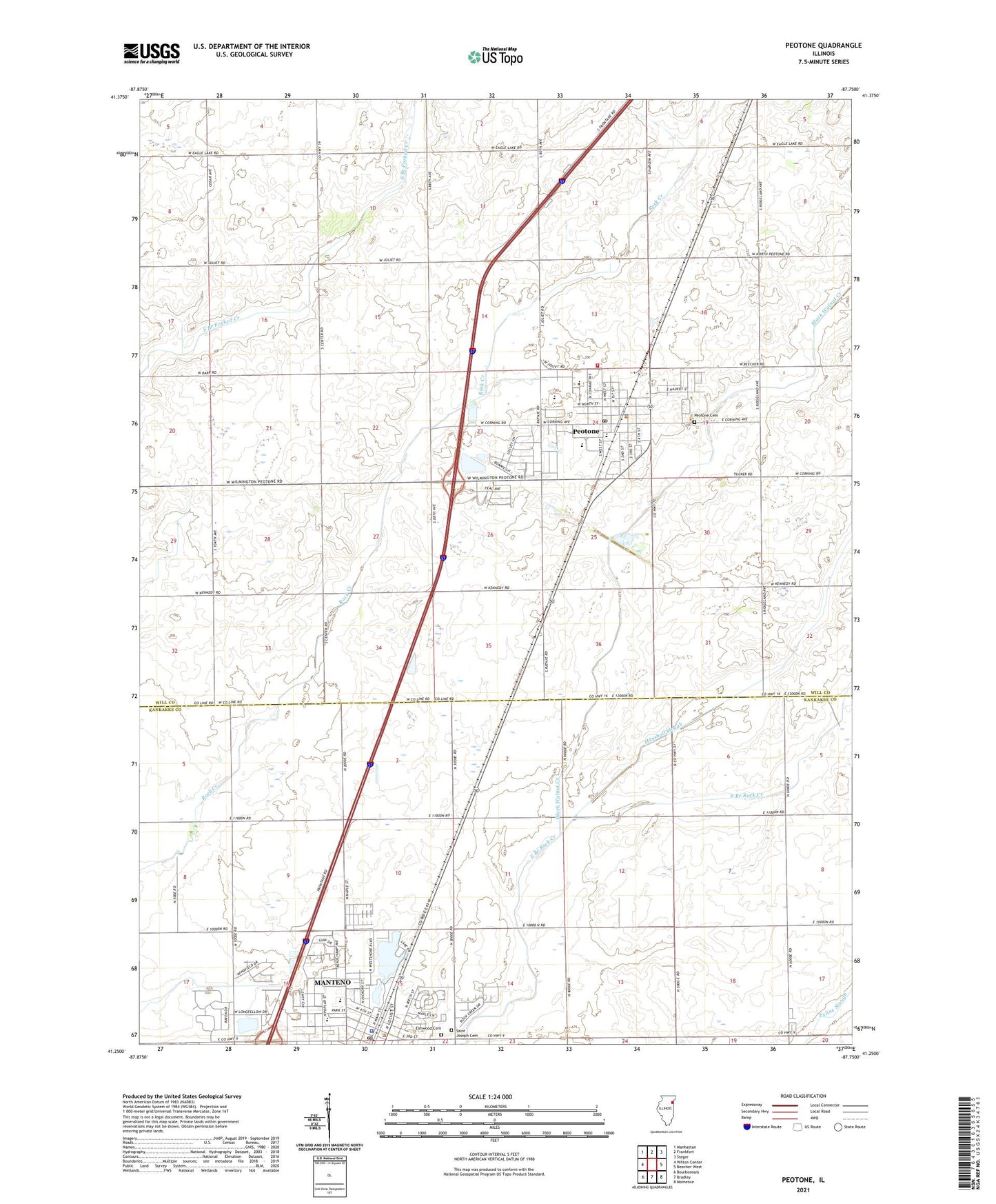
2024 topographic map quadrangle Peotone in the state of Illinois. Scale: 1:24000. Based on the newly updated USGS 7.5' US Topo map series, this map is in the following counties: Will, Kankakee. The map contains contour data, water features, and other items you are used to seeing on USGS maps, but also has updated roads and other features. This is the next generation of topographic maps. Printed on high-quality waterproof paper with UV fade-resistant inks.
Quads adjacent to this one:
West: Wilton Center
Northwest: Manhattan
North: Frankfort
Northeast: Steger
East: Beecher West
Southeast: Momence
South: Bradley
Southwest: Bourbonnais
This map covers the same area as the classic USGS quad with code o41087c7.
Contains the following named places: Barton School, Black Walnut Creek, Brandt Airport, Campbell School, Christian Church of Manteno, Denby School, Elmwood Cemetery, First Baptist Church, First United Presbyterian Church, Hendrickson Park, Hillman Memorial Hospital, Immanuel United Church of Christ, Jackson School, Lake Manteno, Lawrence School, Legion Park, Manteno, Manteno Church of the Nazarene, Manteno High School, Manteno Junior High School, Manteno Police Department, Manteno Post Office, Manteno School, Manteno United Methodist Church, Mapleville School, Marshall Slough, Martins Ambulance, Monk School, Peotone, Peotone Cemetery, Peotone Community Park, Peotone Fire Protection District, Peotone High School, Peotone Junior High School, Peotone Police Department, Peotone Post Office, Peotone Public Library, Peotone School, Peotone United Methodist Church, Peotone Village Hall, Peterson School, Piper School, Porter School, Range School, Risen Savior Lutheran Church, Saint Joseph Cemetery, Saint Paul The Apostle Catholic Church, Sunnyside School, Thies Park, Township of Manteno, Township of Peotone, Village of Peotone, Wayne Lehnert Forest Preserve, WBUS-FM (Kankakee), Will County Fairground, ZIP Code: 60468


