
MyTopo
Walnut Hill Illinois US Topo Map
Couldn't load pickup availability
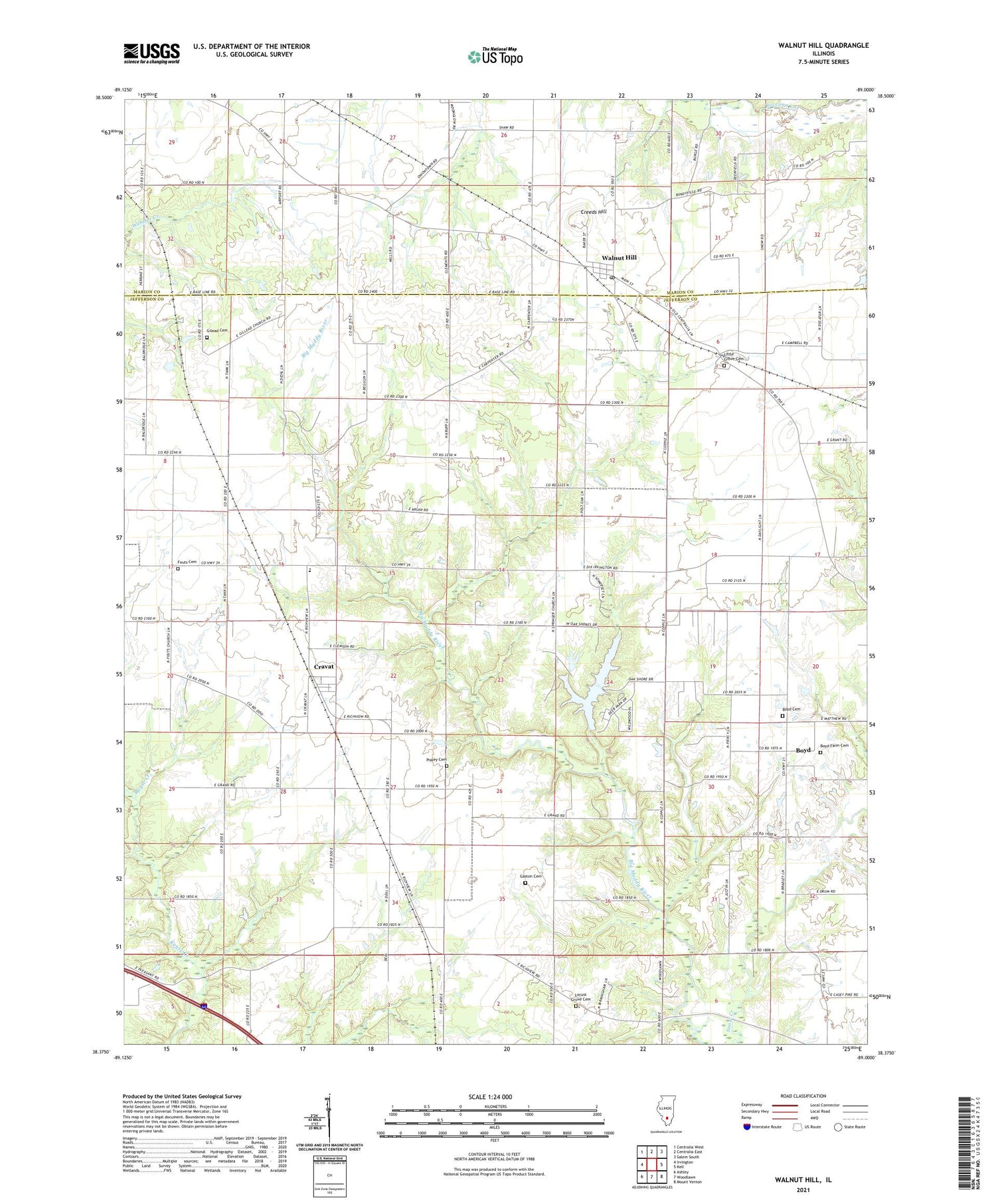
2024 topographic map quadrangle Walnut Hill in the state of Illinois. Scale: 1:24000. Based on the newly updated USGS 7.5' US Topo map series, this map is in the following counties: Jefferson, Marion. The map contains contour data, water features, and other items you are used to seeing on USGS maps, but also has updated roads and other features. This is the next generation of topographic maps. Printed on high-quality waterproof paper with UV fade-resistant inks.
Quads adjacent to this one:
West: Irvington
Northwest: Centralia West
North: Centralia East
Northeast: Salem South
East: Kell
Southeast: Mount Vernon
South: Woodlawn
Southwest: Ashley
This map covers the same area as the classic USGS quad with code o38089d1.
Contains the following named places: Boyd, Boyd Cemetery, Boyd Farm Cemetery, Boyd Oil Field, Bundyville School, Copple School, Cravat, Cravat Oil Field, Creeds Hill, Fouts Cemetery, Fouts Church, Frog Ridge School, Gaston Cemetery, Gilead Cemetery, Gilead Church, Gold Hill School, Grand Prairie Elementary School, Jefferson City, Little Grove Cemetery, Little Grove Church, Locust Grove Cemetery, Mount Pisgah Church, Oniontown School, Piskey Cemetery, Pleasant Hill School, Post Oak School, Sanders School, Springer Church, Springer School, Superior Lake, Superior Lake Dam, Township of Grand Prairie, Village of Walnut Hill, Walnut Hill, Walnut Hill Post Office, ZIP Code: 62893


