MyTopo
Waynesville East Illinois US Topo Map
Couldn't load pickup availability
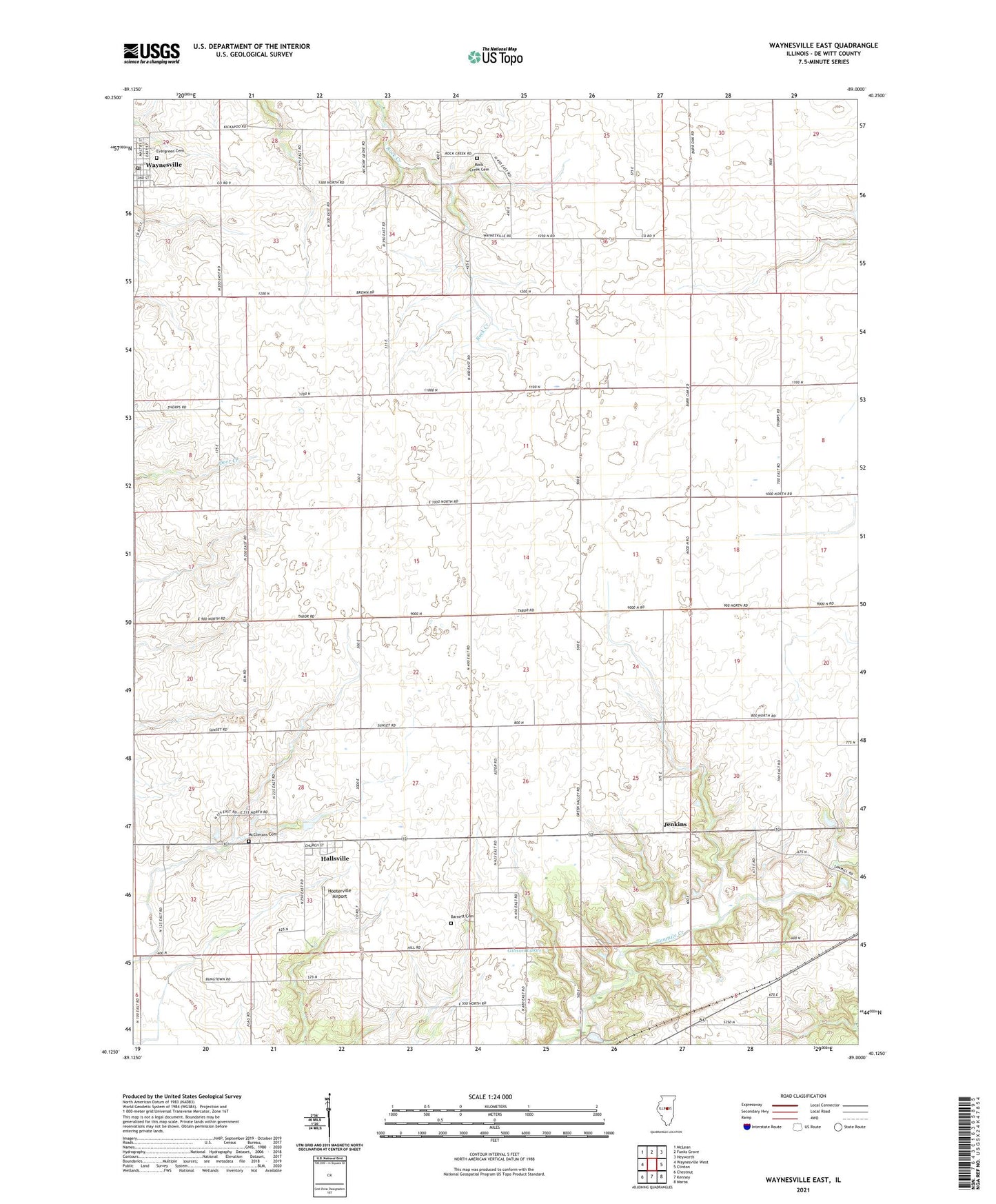
2024 topographic map quadrangle Waynesville East in the state of Illinois. Scale: 1:24000. Based on the newly updated USGS 7.5' US Topo map series, this map is in the following counties: De Witt. The map contains contour data, water features, and other items you are used to seeing on USGS maps, but also has updated roads and other features. This is the next generation of topographic maps. Printed on high-quality waterproof paper with UV fade-resistant inks.
Quads adjacent to this one:
West: Waynesville West
Northwest: McLean
North: Funks Grove
Northeast: Heyworth
East: Clinton
Southeast: Maroa
South: Kenney
Southwest: Chestnut
This map covers the same area as the classic USGS quad with code o40089b1.
Contains the following named places: Barnett Cemetery, Evergreen Cemetery, Gibson Lakes, Hallsville, Hooterville Airport, Jenkins, McClimans Cemetery, Rock Creek Cemetery, Township of Barnett, Village of Waynesville, Waynesville, Waynesville Post Office, ZIP Code: 61778