MyTopo
Yorkville SE Illinois US Topo Map
Couldn't load pickup availability
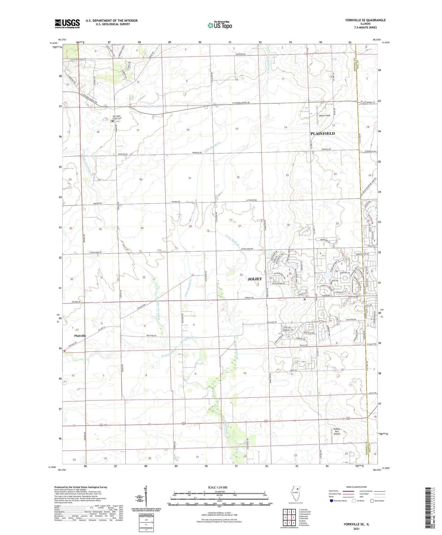
2024 topographic map quadrangle Yorkville SE in the state of Illinois. Scale: 1:24000. Based on the newly updated USGS 7.5' US Topo map series, this map is in the following counties: Kendall, Will. The map contains contour data, water features, and other items you are used to seeing on USGS maps, but also has updated roads and other features. This is the next generation of topographic maps. Printed on high-quality waterproof paper with UV fade-resistant inks.
Quads adjacent to this one:
West: Plattville
Northwest: Yorkville
North: Aurora South
Northeast: Normantown
East: Plainfield
Southeast: Channahon
South: Minooka
Southwest: Lisbon
This map covers the same area as the classic USGS quad with code o41088e3.
Contains the following named places: Au Sable Grove Church, Aux Sable Grove, Aux Sable Grove Cemetery, Baker County Forest Preserve, Bethel School, Bronk School, Bushby RLA Airport, Cherry School, East Aux Sable Creek, Heap School, Houses Grove Forest Preserve, Joliet Fire Department Station 10, Jones School, Kendall Post Office, Lisbon - Seward Fire Protection District Station 2, Little Slough Creek, Lone Tree Grove, Marysville School, McCauley School, McKanna School, Middle Aux Sable Creek, Riley's Field, Rossi's Farm Airport, Township of Na-Au-Say, Township of Seward, Union School, Waish-kee-shaw Reserve, West Aux Sable Creek, Wyne School