MyTopo
Minooka Illinois US Topo Map
Couldn't load pickup availability
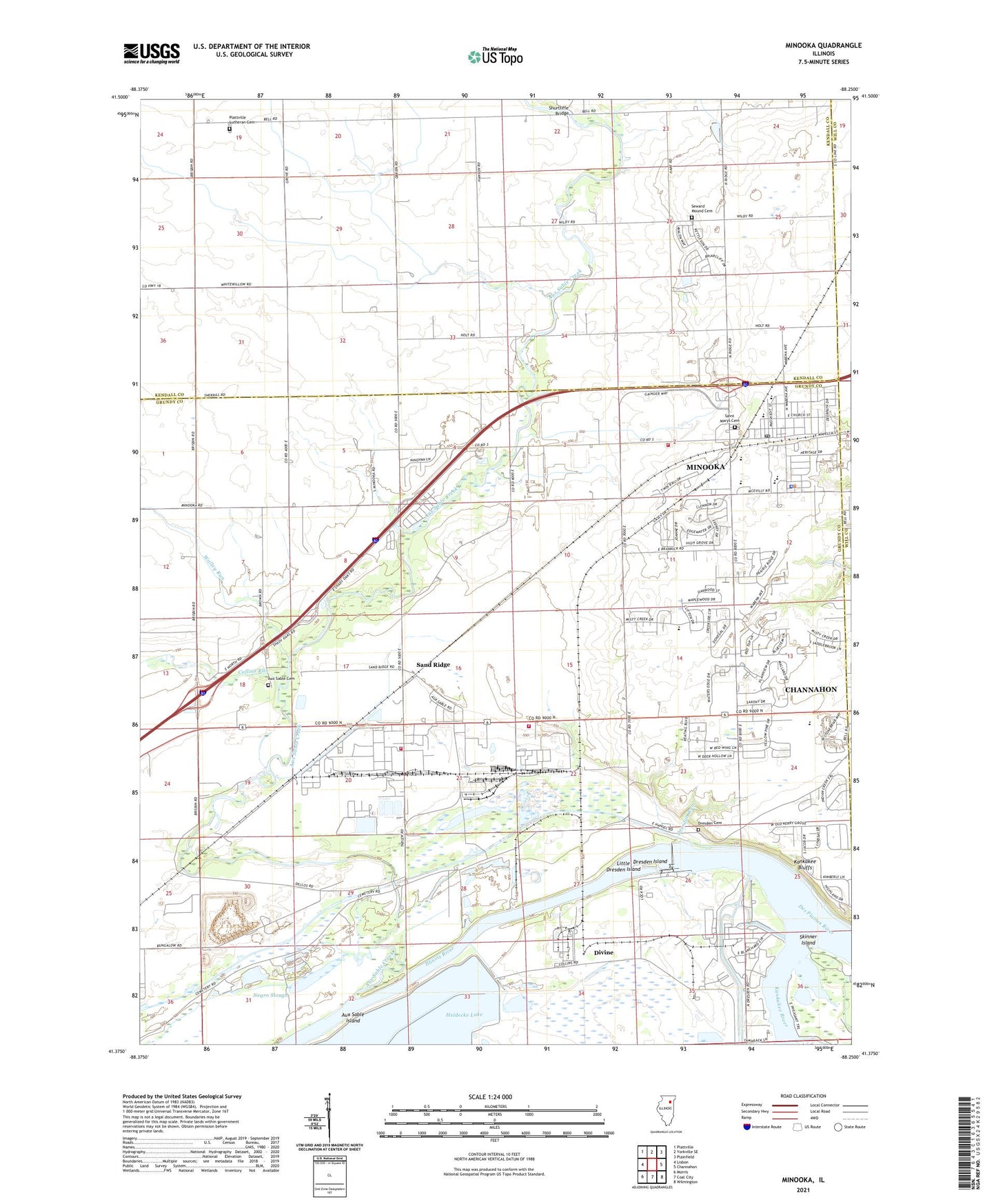
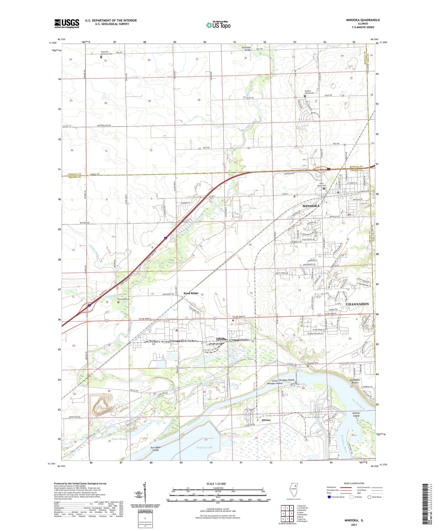
2024 topographic map quadrangle Minooka in the state of Illinois. Scale: 1:24000. Based on the newly updated USGS 7.5' US Topo map series, this map is in the following counties: Grundy, Kendall, Will. The map contains contour data, water features, and other items you are used to seeing on USGS maps, but also has updated roads and other features. This is the next generation of topographic maps. Printed on high-quality waterproof paper with UV fade-resistant inks.
Quads adjacent to this one:
West: Lisbon
Northwest: Plattville
North: Yorkville SE
Northeast: Plainfield
East: Channahon
Southeast: Wilmington
South: Coal City
Southwest: Morris
This map covers the same area as the classic USGS quad with code o41088d3.
Contains the following named places: Aux Sable, Aux Sable Aqueduct, Aux Sable Cemetery, Aux Sable Church, Aux Sable Creek, Aux Sable Island, Aux Sable Lake, Aux Sable Lock, Aux Sable School, Bell School, Broadway School, Chapman School, Collins Run, Des Plaines River, Divine, Dollinger Family Farm, Dresden Cemetery, Dresden Heights School, Dresden Island, Dresden Island Lock and Dam, Dresden Island Pool, Dresden Run, Dresden Station Nuclear Powerplant, Henderson School, Kankakee Bluffs, Kankakee River, Little Dresden Island, Lyondell Chemical Company Fire Department, Martin School, Minooka, Minooka Bible Church, Minooka Community High School, Minooka Elementary School, Minooka Fire Department Station 2, Minooka Fire Protection District Station 1, Minooka Junior High School, Minooka Police Department, Minooka Post Office, Minooka United Methodist Church, Negro Slough, Plattville Lutheran Cemetery, Plattville Lutheran Church, Saint Marys Cemetery, Saint Marys Church, Sand Ridge, Seward Mound Cemetery, Shurtliffe Bridge, Skinner Island, Three Rivers Farm Airport, Township of Aux Sable, Village of Channahon, Village of Minooka, Walley Run, Walley School, WJCH-FM (Joliet), Wood Spur, ZIP Code: 60447


