MyTopo
Donaldson Indiana US Topo Map
Couldn't load pickup availability
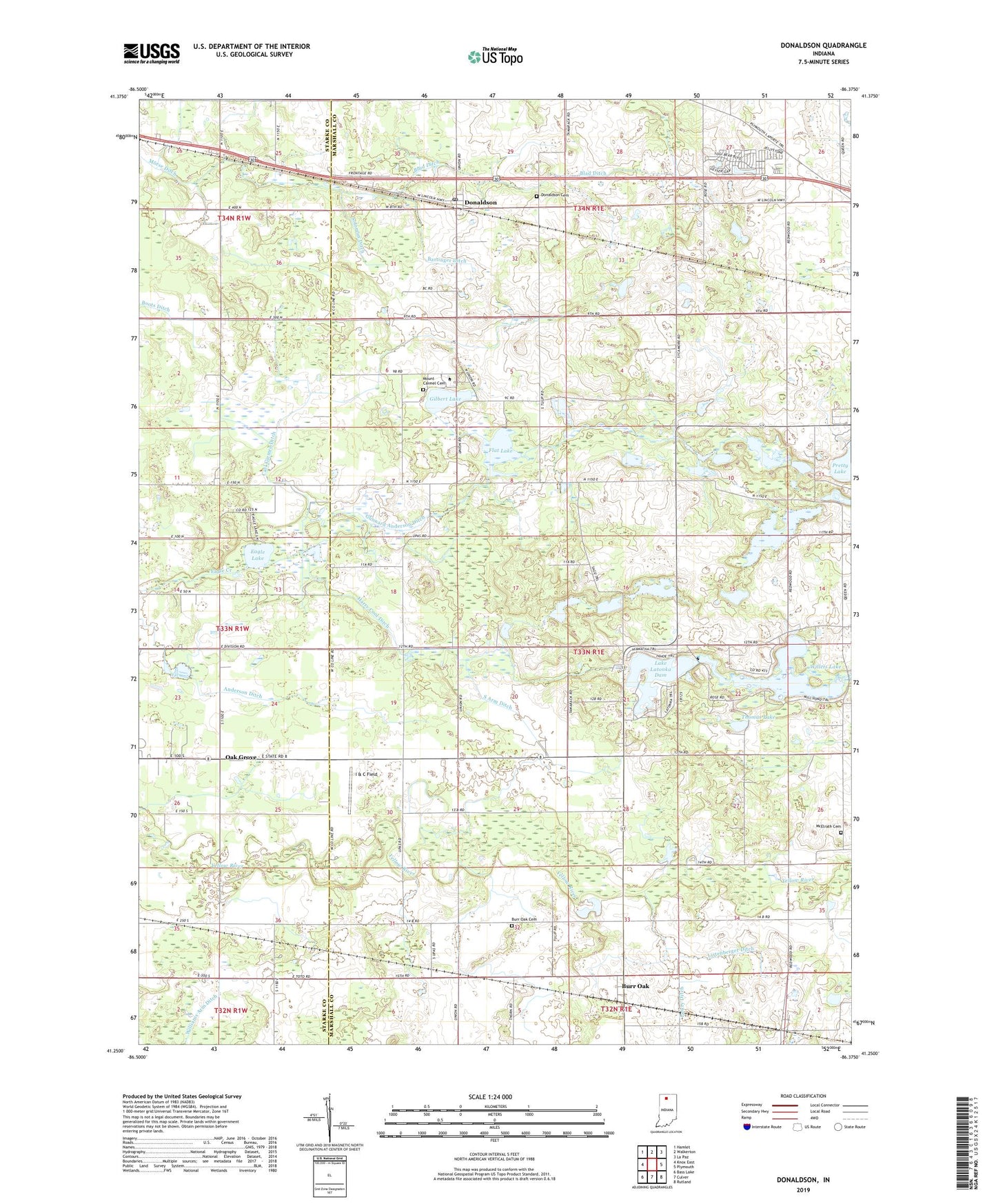
2022 topographic map quadrangle Donaldson in the state of Indiana. Scale: 1:24000. Based on the newly updated USGS 7.5' US Topo map series, this map is in the following counties: Marshall, Starke. The map contains contour data, water features, and other items you are used to seeing on USGS maps, but also has updated roads and other features. This is the next generation of topographic maps. Printed on high-quality waterproof paper with UV fade-resistant inks.
Quads adjacent to this one:
West: Knox East
Northwest: Hamlet
North: Walkerton
Northeast: La Paz
East: Plymouth
Southeast: Rutland
South: Culver
Southwest: Bass Lake
This map covers the same area as the classic USGS quad with code o41086c4.
Contains the following named places: Ancilla Domini College, Anderson Ditch, Bartinger Ditch, Blad Ditch, Burr Oak, Burr Oak Cemetery, Carl Gjemre Ditch, Circle L Ranch, Divine Heart Seminary, Donaldson, Donaldson Cemetery, Donaldson Post Office, Eagle Lake, Flat Lake, Gibson Airport, Gilbert Lake, Gunnard Anderson Ditch, H J Umbaugh Airport, Harry Cool Ditch, I & C Field, J M J Dairy Farm, Kreighbaum Lake, Lake Latonka Dam, Listenberger Ditch, McElrath Cemetery, Mount Carmel Cemetery, Oak Grove, Pretty Lake Church, Schori Lake, Schori Lake Dam, Solomon Ditch, South Arm Ditch, Thomas Lake, Township of West, West Elementary School, Willets Lake, Wolff Livestock Farm, Zehner Millpond, Zehner Millpond Dam