MyTopo
Davenport West Iowa US Topo Map
Couldn't load pickup availability
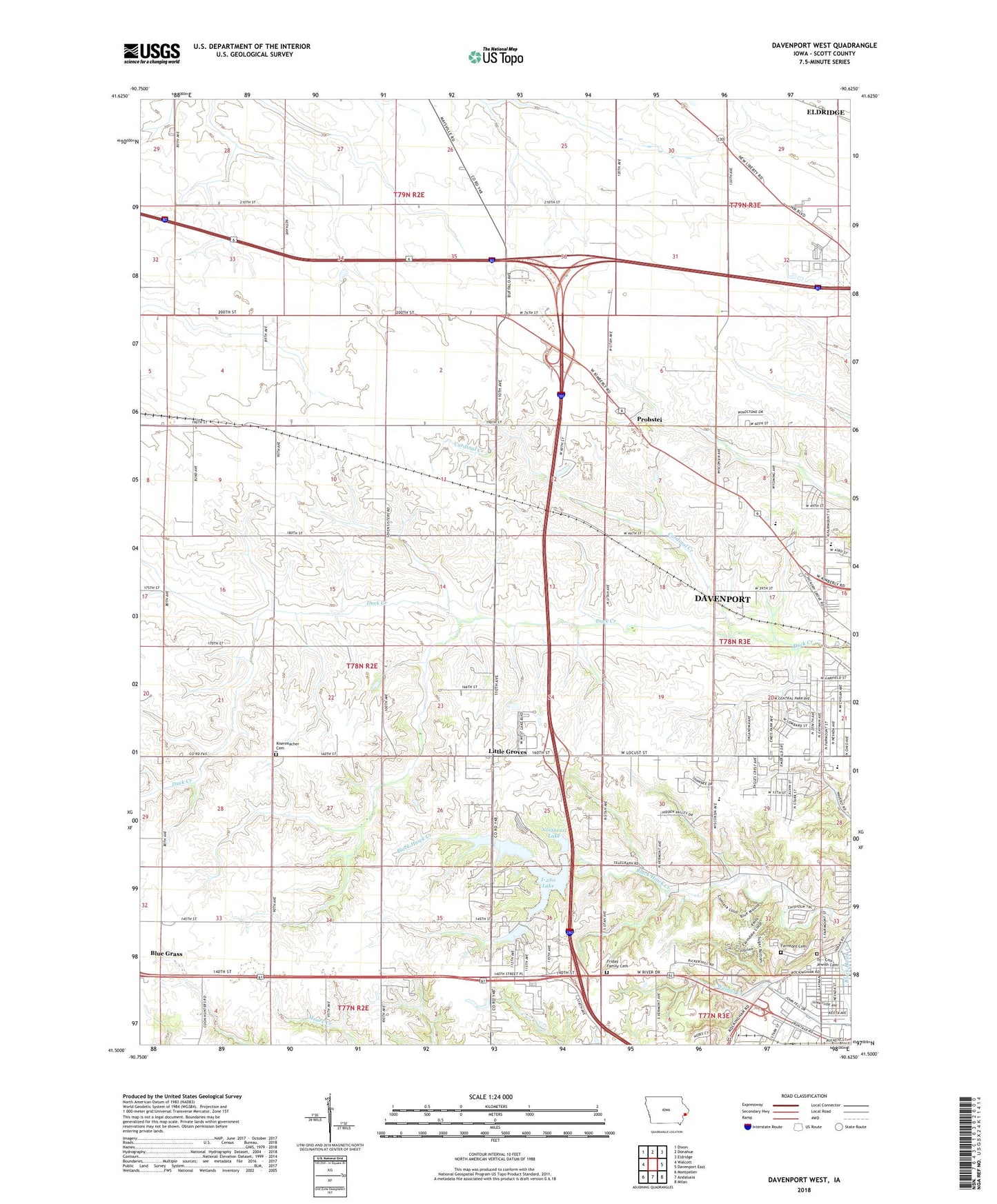
2022 topographic map quadrangle Davenport West in the state of Iowa. Scale: 1:24000. Based on the newly updated USGS 7.5' US Topo map series, this map is in the following counties: Scott. The map contains contour data, water features, and other items you are used to seeing on USGS maps, but also has updated roads and other features. This is the next generation of topographic maps. Printed on high-quality waterproof paper with UV fade-resistant inks.
Quads adjacent to this one:
West: Walcott
Northwest: Dixon
North: Donahue
Northeast: Eldridge
East: Davenport East
Southeast: Milan
South: Andalusia
Southwest: Montpelier
This map covers the same area as the classic USGS quad with code o41090e6.
Contains the following named places: Black Hawk, Buchanan Elementary School, Cardinal Creek, Central Park Church, Christ Chapel, Church of Latter Day Saints, Crystal Creek, Davenport Seventh Day Adventist Church, Emeis Golf Course, Emeis Park, Fairmont Cemetery, Fairview School, Friday Family Cemetery, Grace Church, Grandview Terrace, Heritage Free Will Baptist Church, Hickory Grove Mobile Home Park, Hillcrest Church, Hometown Lakeside Mobile Home Park, Husam Post Office, I-280 Lake, I-280 Lake Dam, Immanuel Church, Interstate RV Park and Campground, Jackson Elementary School, Kisenmacher Cemetery, Lake Canyada Mobile Home Park, Lakeside Manor Campground, Lakewood Park, Little Groves, Marantha Church of God, Meadow Lawn Nursing Center, Northeast Lake, Northeast Lake Dam, Ponderosa Park Mobile Home Park, Probstei, Probstei School, Quad City Seventh - Day Adventist Junior Academy, Royal Neighbors Home, Saint Albans Church, Southwest Park, Sovereign Grace Church, Streetfire Gospel Church, Teds Mobile Home Park, The Church of Jesus Christ of Latter Day Saints, The Midwest Center for Safety and Rescue Training, Township of Blue Grass, Tri - City Jewish Cemetery, Vietnamese Baptist Church, Wacky Waters Park, Walnut Hill School, West High School, West Lake County Park, West Park Church, Westside Assembly of God Church, Wood Dale Mobile Home Park, ZIP Codes: 52804, 52806


