MyTopo
Dunlap NE Iowa US Topo Map
Couldn't load pickup availability
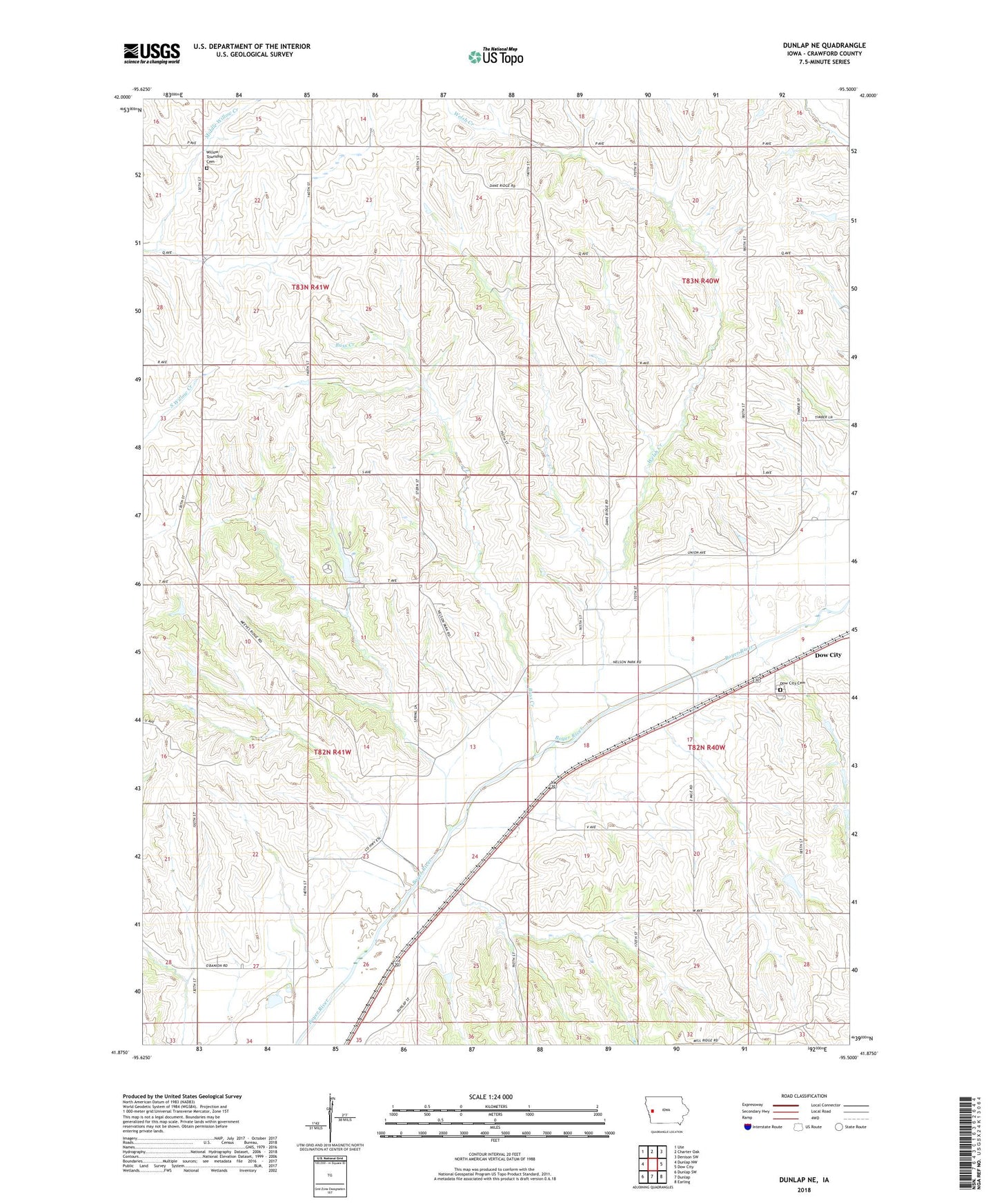
2022 topographic map quadrangle Dunlap NE in the state of Iowa. Scale: 1:24000. Based on the newly updated USGS 7.5' US Topo map series, this map is in the following counties: Crawford. The map contains contour data, water features, and other items you are used to seeing on USGS maps, but also has updated roads and other features. This is the next generation of topographic maps. Printed on high-quality waterproof paper with UV fade-resistant inks.
Quads adjacent to this one:
West: Dunlap NW
Northwest: Ute
North: Charter Oak
Northeast: Denison SW
East: Dow City
Southeast: Earling
South: Dunlap
Southwest: Dunlap SW
This map covers the same area as the classic USGS quad with code o41095h5.
Contains the following named places: Ahart/Rudd Natural Resource Area, Buss Creek, Dow City Cemetery, Haley, Nelson Park, Paradise, Paradise Post Office, Township of Boyer, Township of Willow, Welsh Creek, Willow Township Cemetery, ZIP Code: 51528