MyTopo
Lacelle Iowa US Topo Map
Couldn't load pickup availability
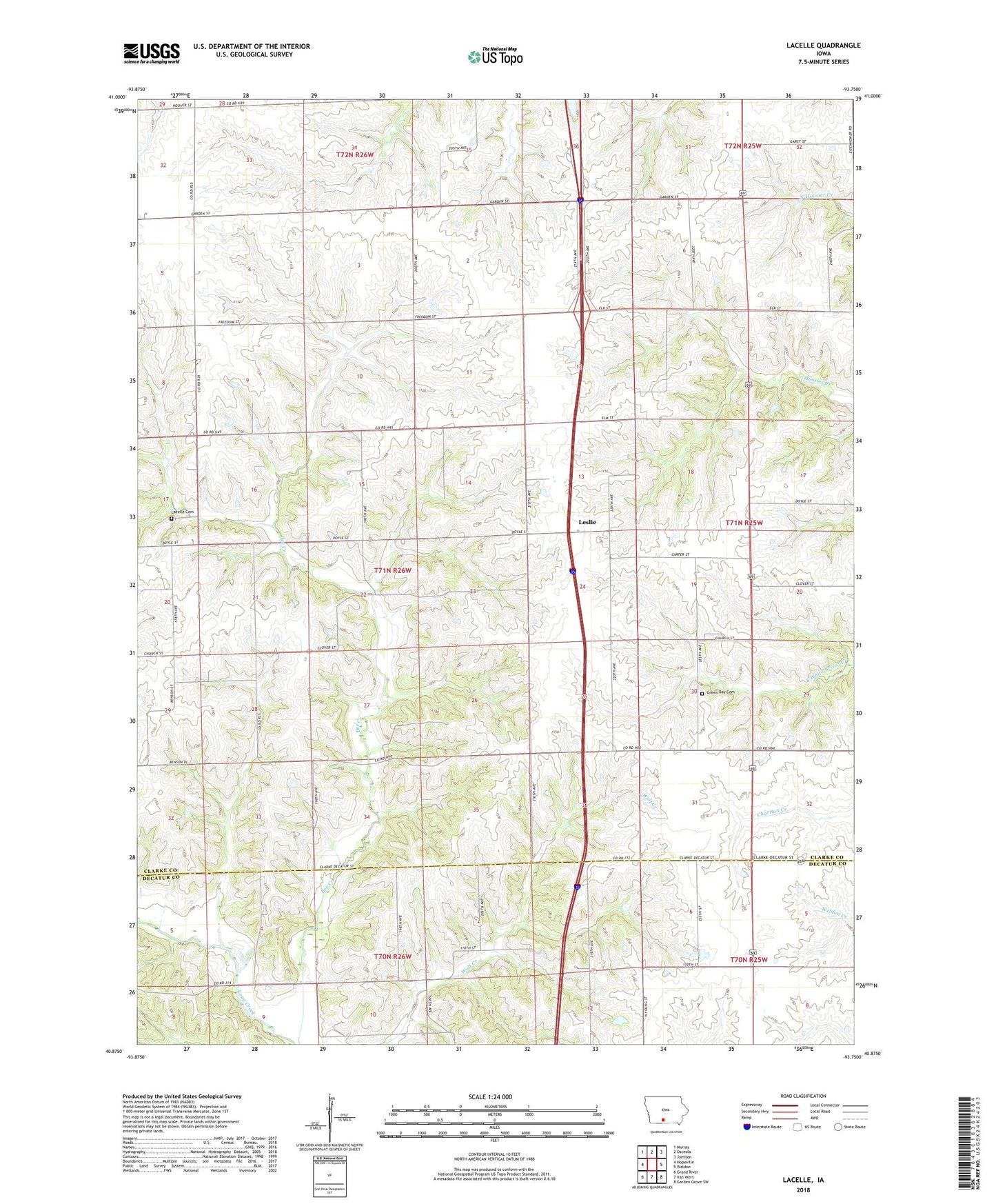
2022 topographic map quadrangle Lacelle in the state of Iowa. Scale: 1:24000. Based on the newly updated USGS 7.5' US Topo map series, this map is in the following counties: Clarke, Decatur. The map contains contour data, water features, and other items you are used to seeing on USGS maps, but also has updated roads and other features. This is the next generation of topographic maps. Printed on high-quality waterproof paper with UV fade-resistant inks.
Quads adjacent to this one:
West: Hopeville
Northwest: Murray
North: Osceola
Northeast: Jamison
East: Weldon
Southeast: Garden Grove SW
South: Van Wert
Southwest: Grand River
This map covers the same area as the classic USGS quad with code o40093h7.
Contains the following named places: Bee Creek, Freehold Post Office, Green Bay, Green Bay Cemetery, Groveland, Groveland Post Office, Lacelle, Lacelle Cemetery, Lacelle Post Office, Leslie, Leslie Post Office, Patriot, Red Fern Timber Reserve, Township of Knox, White Breast Post Office