MyTopo
Sioux Rapids SE Iowa US Topo Map
Couldn't load pickup availability
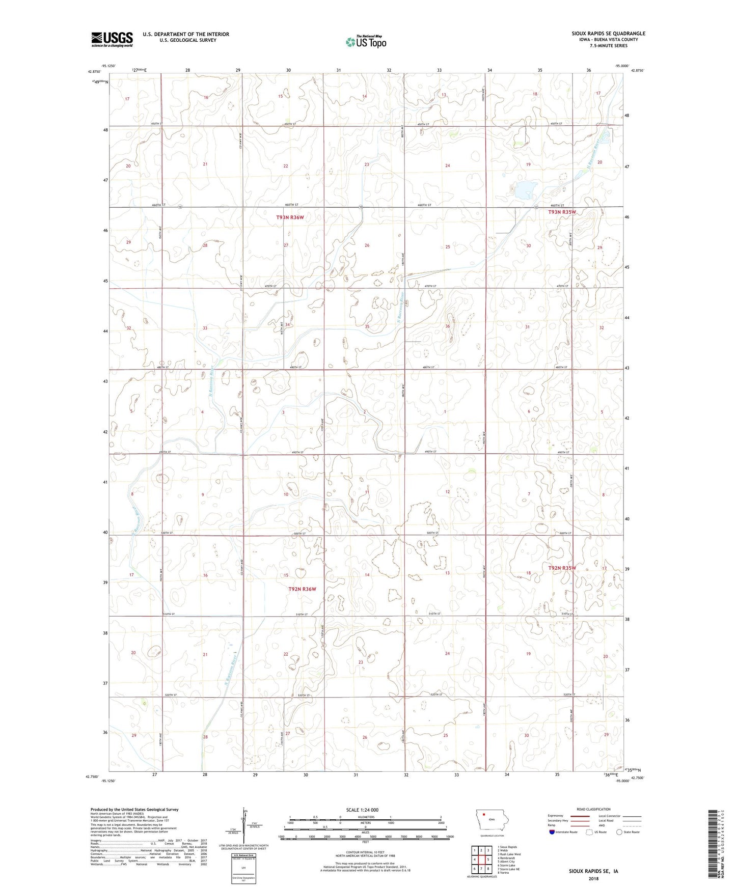
2022 topographic map quadrangle Sioux Rapids SE in the state of Iowa. Scale: 1:24000. Based on the newly updated USGS 7.5' US Topo map series, this map is in the following counties: Buena Vista. The map contains contour data, water features, and other items you are used to seeing on USGS maps, but also has updated roads and other features. This is the next generation of topographic maps. Printed on high-quality waterproof paper with UV fade-resistant inks.
Quads adjacent to this one:
West: Rembrandt
Northwest: Sioux Rapids
North: Webb
Northeast: Rush Lake West
East: Albert City
Southeast: Varina
South: Storm Lake NE
Southwest: Storm Lake
This map covers the same area as the classic USGS quad with code o42095g1.
Contains the following named places: Marathon Poland Park, Menoti Post Office, Nagel Hog Farm, Township of Lee, Township of Lincoln, ZIP Code: 50565