MyTopo
Cedar Bluff Dam Kansas US Topo Map
Couldn't load pickup availability
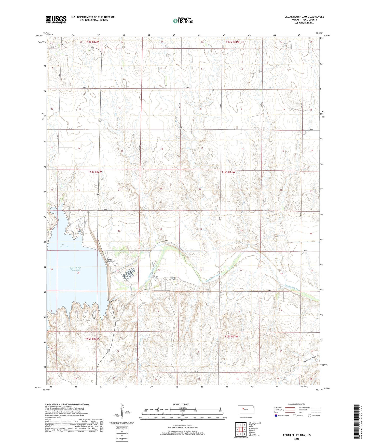
2022 topographic map quadrangle Cedar Bluff Dam in the state of Kansas. Scale: 1:24000. Based on the newly updated USGS 7.5' US Topo map series, this map is in the following counties: Trego. The map contains contour data, water features, and other items you are used to seeing on USGS maps, but also has updated roads and other features. This is the next generation of topographic maps. Printed on high-quality waterproof paper with UV fade-resistant inks.
Quads adjacent to this one:
West: Cedar Bluff
Northwest: Trego Center NE
North: Ogallah
Northeast: Ellis
East: Ellis SE
Southeast: McCracken NE
South: Brownell
Southwest: Osgood
This map covers the same area as the classic USGS quad with code o38099g6.
Contains the following named places: Cedar Bluff Dam, Cedar Bluff National Fish Hatchery, Cedar Bluff State Park Bluffton Campground, Cedar Bluff State Park Broken Spur Campground, Cedar Bluff State Park Office, Cedar Bluff State Park Wagon Rut Campground, Groff Oil Field, Page Creek, Sunny Slope Oil Field, Township of Riverside, Tunnel Creek, Younger Oil Field