MyTopo
El Dorado Kansas US Topo Map
Couldn't load pickup availability
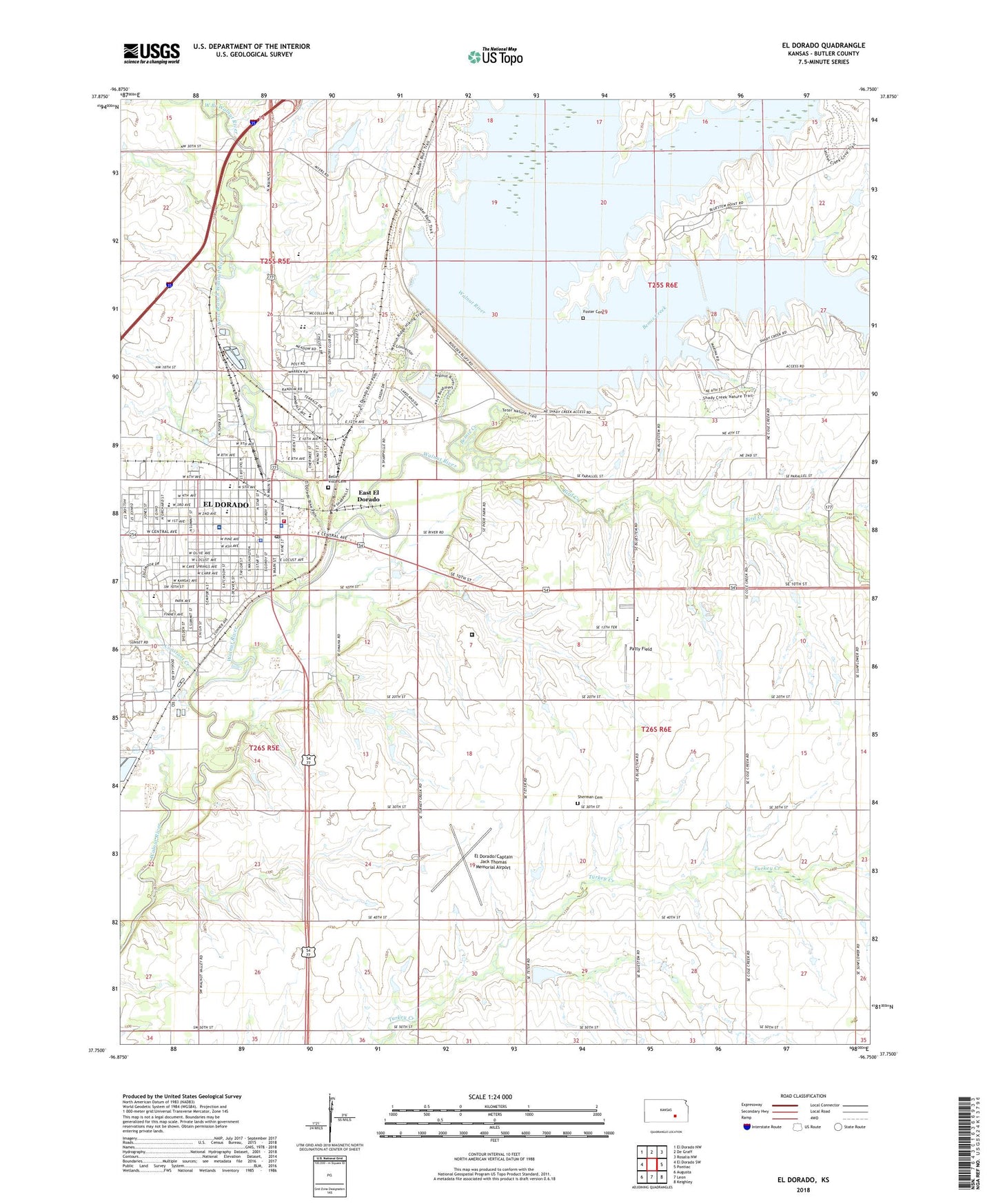
2022 topographic map quadrangle El Dorado in the state of Kansas. Scale: 1:24000. Based on the newly updated USGS 7.5' US Topo map series, this map is in the following counties: Butler. The map contains contour data, water features, and other items you are used to seeing on USGS maps, but also has updated roads and other features. This is the next generation of topographic maps. Printed on high-quality waterproof paper with UV fade-resistant inks.
Quads adjacent to this one:
West: El Dorado SW
Northwest: El Dorado NW
North: De Graff
Northeast: Rosalia NW
East: Pontiac
Southeast: Keighley
South: Leon
Southwest: Augusta
This map covers the same area as the classic USGS quad with code o37096g7.
Contains the following named places: Antioch Baptist Church, Belle Vista Cemetery, Bemis Creek, Bird Creek, Bradford Memorial Library, Butler County, Butler County Adult Detention Center, Butler County Community Building, Butler County Courthouse, Butler County Health Department, Butler County History Center and Kansas Oil Museum, Butler County Judicial Center, Butler County Sheriff's Office, Butler County Special Education Center, Calvary Tabernacle First United Pentecostal Church, Central Park, Church of Christ, Church of God in Prophecy, Church of the Nazarene, City of El Dorado, Constant Creek, Country Side Mobile Home Park, Coutts Memorial Museum of Art, Deer Grove Recreational Vehicle Park, East El Dorado, East Park, El Dorado, El Dorado City Hall, El Dorado Convention Center, El Dorado Correctional Facility, El Dorado Fire Department, El Dorado First Baptist Church, El Dorado High - Extend School, El Dorado High School, El Dorado Lake, El Dorado Lake Dam, El Dorado Middle School, El Dorado Police Department, El Dorado Post Office, El Dorado Senior Center, El Dorado State Park, El Dorado State Park Bluestem Point Camping Area, El Dorado State Park Rangers Office, El Dorado State Park Shady Creek Camping Area, El Dorado State Park Walnut River Camping Area, El Dorado Wastewater Treatment Facility, El Dorado/Captain Jack Thomas Memorial Airport, Family Worship Center Assembly of God Church, Fifth and Main Plaza, First Christian Church, First Church of Christ Science, First United Methodist Church, First United Presbyterian Church, Forest Park, Foster Cemetery, Four Square Gospel Church, Gordy Park, Grace Lutheran Church, Graham Park, Grandview Elementary School, Highpoint Mobile Home Park, House of Prayer, Jefferson Elementary School, KAHS - AM (Wichita), Knutson Park, KOYY-AM (El Dorado), KSPG-FM (El Dorado), Lincoln Elementary School, Living Water Chapel, Main Park, McDonald Baseball Stadium, Mitchell Mobile Home Manor, North Main Shopping Center, Park Avenue Baptist Church, Patty Field, Pentecostal Lighthouse Church, Playhouse Doll Museum, Prairie Trails Golf and Country Club, Prospect, Prospect Baptist Church, Prospect Mobile Home Park, Rice Park, Riverside Church of God in Christ, Riverview Park, Rolla A Clymer Research Facility, Saint John the Evangelist Catholic Church, Saint Johns School, Salvation Army, Satchel Creek, Second Baptist Church, Seventh Day Adventist Church of El Dorado, Shady Creek Marina, Sherman Cemetery, Skelly Elementary School, Southwest Park, Summit Park, Summit Wesleyan Church, Susan B Allen Memorial Hospital, Temple Baptist Church, The Church of Jesus Christ of Latter Day Saints, Township of Prospect, Trinity Episcopal Church, Trinity United Methodist Church, Valley View Convalescent Home, Waco Trailer Court, Washington Elementary School, West Branch Walnut River, ZIP Code: 67042