MyTopo
Grenola Kansas US Topo Map
Couldn't load pickup availability
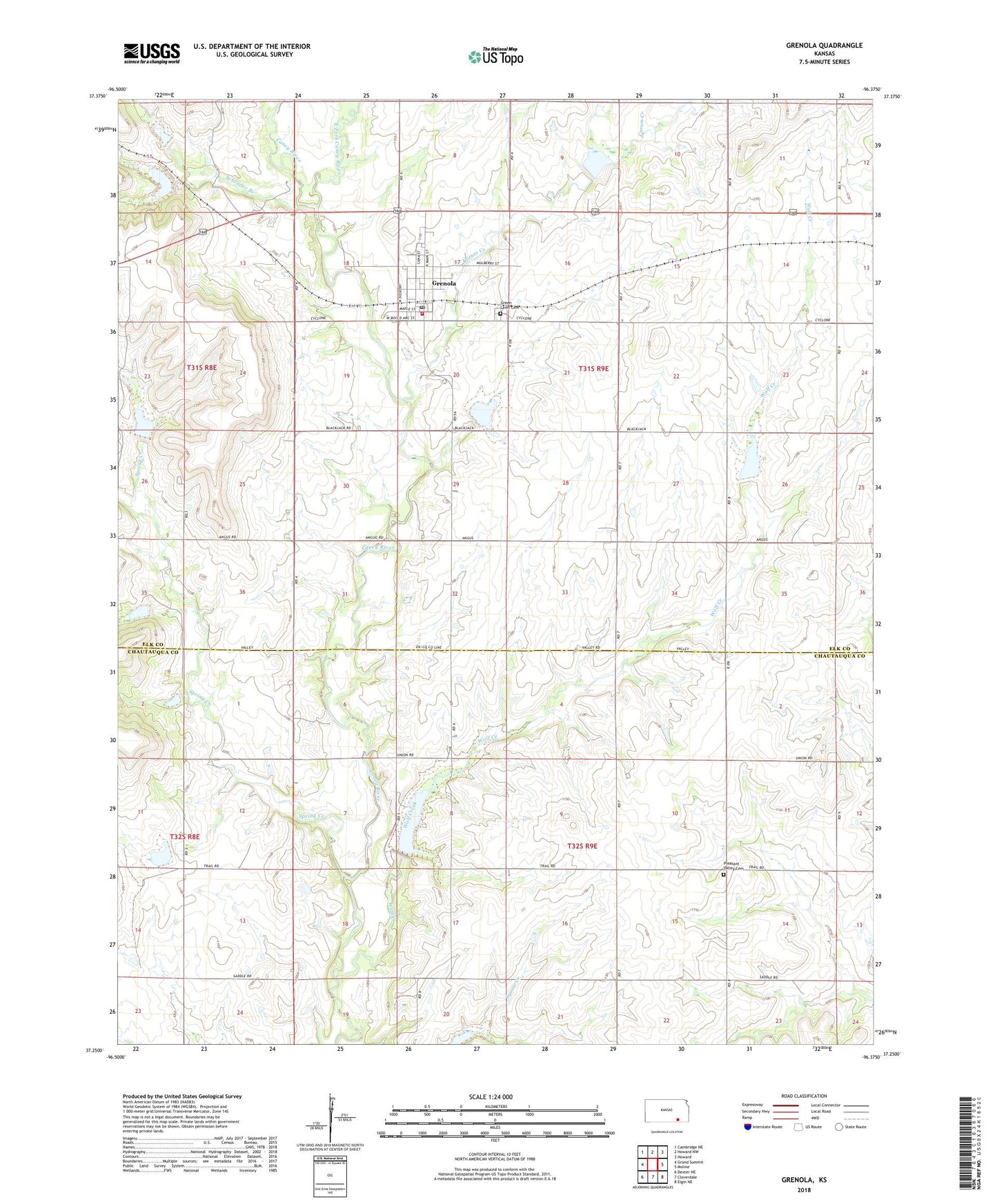
2023 topographic map quadrangle Grenola in the state of Kansas. Scale: 1:24000. Based on the newly updated USGS 7.5' US Topo map series, this map is in the following counties: Elk, Chautauqua. The map contains contour data, water features, and other items you are used to seeing on USGS maps, but also has updated roads and other features. This is the next generation of topographic maps. Printed on high-quality waterproof paper with UV fade-resistant inks.
Quads adjacent to this one:
West: Grand Summit
Northwest: Cambridge NE
North: Howard NW
Northeast: Howard
East: Moline
Southeast: Elgin NE
South: Cloverdale
Southwest: Dexter NE
This map covers the same area as the classic USGS quad with code o37096c4.
Contains the following named places: Bethel Chapel, Central Grade School, City of Grenola, Corum Creek, East Fork Caney River, Elk County Rural Fire District Grenola Fire Department, Green Lawn Cemetery, Grenola, Grenola Christian Church, Grenola City Hall, Grenola Elevator Museum, Grenola Fire Department, Grenola Post Office, Grenola Senior Center, Grenola United Methodist Church, Grenola Wastewater Plant, Pleasant Valley Cemetery, Schrader Branch, Spring Creek, Township of Caneyville, Township of Greenfield, Wolf Creek, ZIP Code: 67346