MyTopo
Isabel Kansas US Topo Map
Couldn't load pickup availability
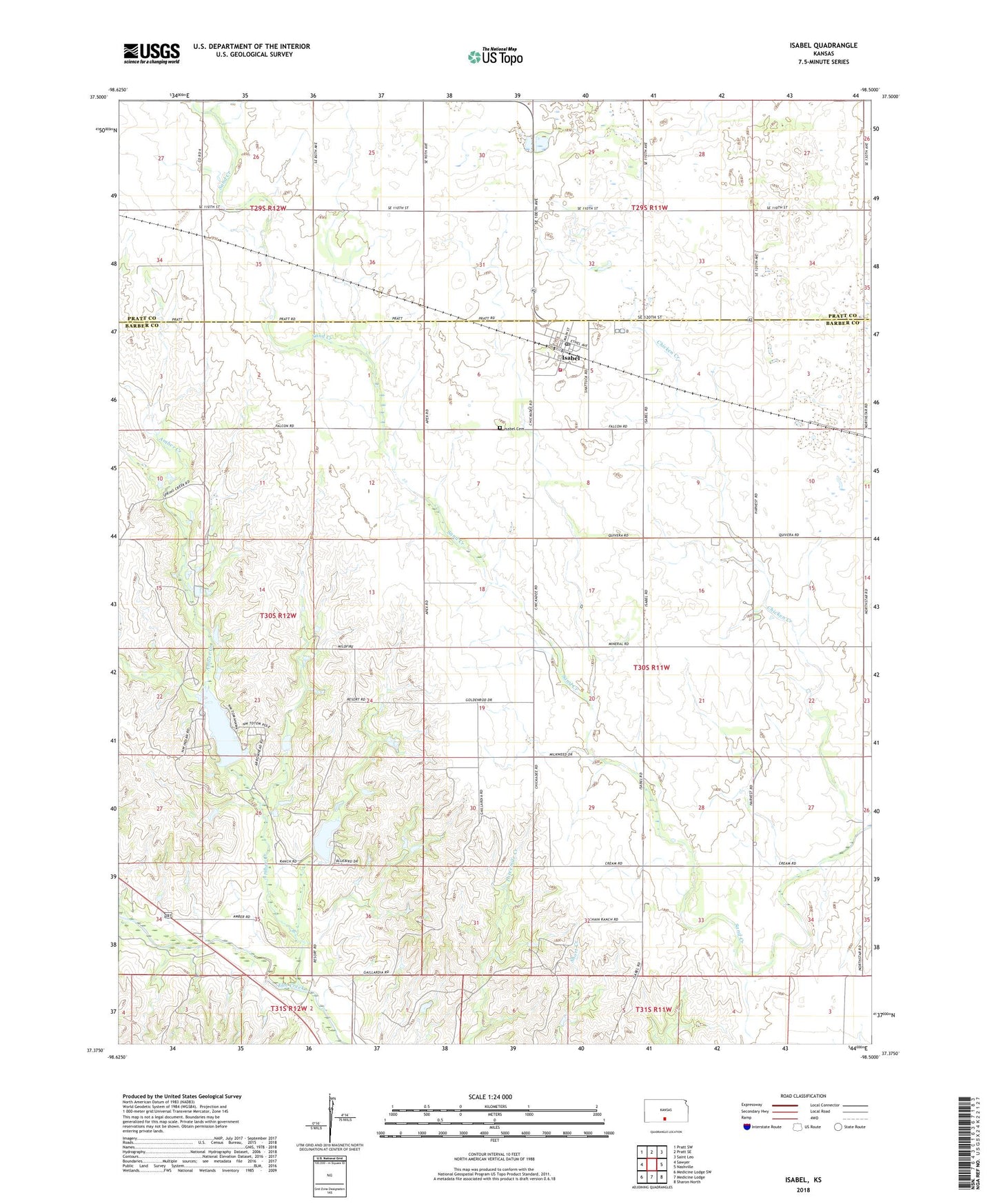
2022 topographic map quadrangle Isabel in the state of Kansas. Scale: 1:24000. Based on the newly updated USGS 7.5' US Topo map series, this map is in the following counties: Barber, Pratt. The map contains contour data, water features, and other items you are used to seeing on USGS maps, but also has updated roads and other features. This is the next generation of topographic maps. Printed on high-quality waterproof paper with UV fade-resistant inks.
Quads adjacent to this one:
West: Sawyer
Northwest: Pratt SW
North: Pratt SE
Northeast: Saint Leo
East: Nashville
Southeast: Sharon North
South: Medicine Lodge
Southwest: Medicine Lodge SW
This map covers the same area as the classic USGS quad with code o37098d5.
Contains the following named places: Amber Creek, Bates, City of Isabel, Isabel, Isabel Cemetery, Isabel Fire Department, Isabel Post Office, Isabel Senior Center, Isabel Wastewater Treatment Facility, Lake Arrowshead, Township of Valley, ZIP Code: 67065