MyTopo
Meades Ranch Kansas US Topo Map
Couldn't load pickup availability
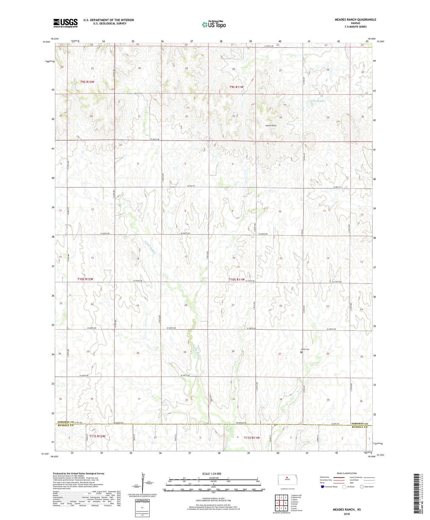
2022 topographic map quadrangle Meades Ranch in the state of Kansas. Scale: 1:24000. Based on the newly updated USGS 7.5' US Topo map series, this map is in the following counties: Osborne, Russell. The map contains contour data, water features, and other items you are used to seeing on USGS maps, but also has updated roads and other features. This is the next generation of topographic maps. Printed on high-quality waterproof paper with UV fade-resistant inks.
Quads adjacent to this one:
West: Vincent
Northwest: Osborne SW
North: Osborne SE
Northeast: Tipton
East: Hunter
Southeast: Sylvan Grove
South: Lucas
Southwest: Luray
This map covers the same area as the classic USGS quad with code o39098b5.
Contains the following named places: Bayne, Delhi, Delhi Cemetery, Free Will, Lake Hobbie, Meades Ranch, Potterville, Township of Delhi