MyTopo
Tipton Kansas US Topo Map
Couldn't load pickup availability
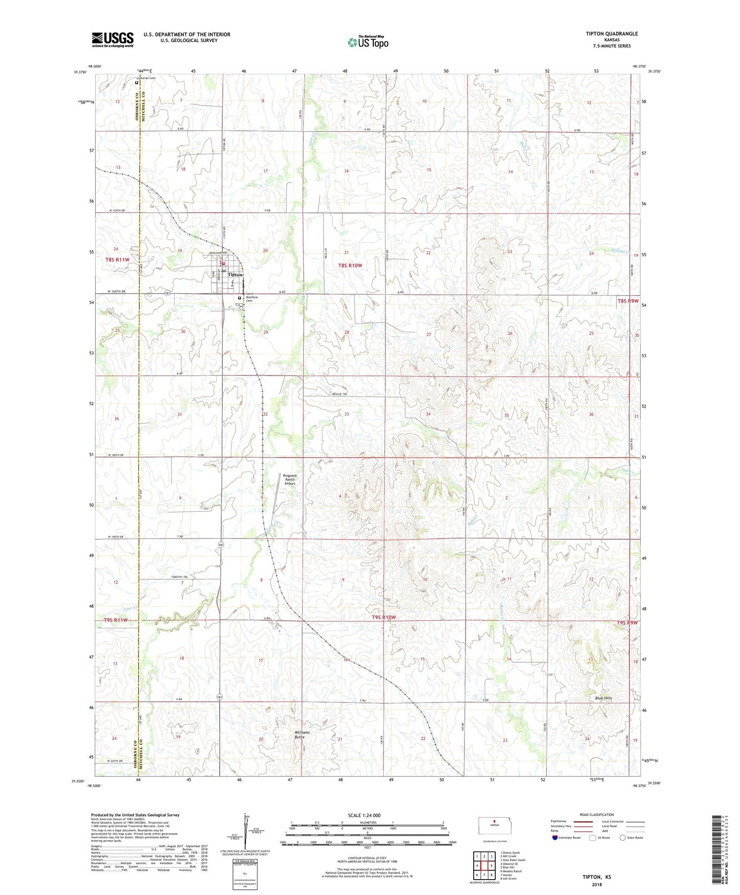
2022 topographic map quadrangle Tipton in the state of Kansas. Scale: 1:24000. Based on the newly updated USGS 7.5' US Topo map series, this map is in the following counties: Mitchell, Osborne. The map contains contour data, water features, and other items you are used to seeing on USGS maps, but also has updated roads and other features. This is the next generation of topographic maps. Printed on high-quality waterproof paper with UV fade-resistant inks.
Quads adjacent to this one:
West: Osborne SE
Northwest: Downs South
North: Mill Creek
Northeast: Glen Elder South
East: Blue Hill
Southeast: Ash Grove
South: Hunter
Southwest: Meades Ranch
This map covers the same area as the classic USGS quad with code o39098c4.
Contains the following named places: Agmark Grain Elevator Number 18, City of Tipton, Lutheran Cemetery, Ringneck Ranch Airport, Saint Boniface Cemetery, Tipton, Tipton Airfield, Tipton Catholic Junior - Senior High School, Tipton Christian School, Tipton Post Office, Tipton Rural Fire Department, Tipton Wastewater Plant, Township of Custer, Township of Pittsburg, Williams Butte