MyTopo
Sun City SW Kansas US Topo Map
Couldn't load pickup availability
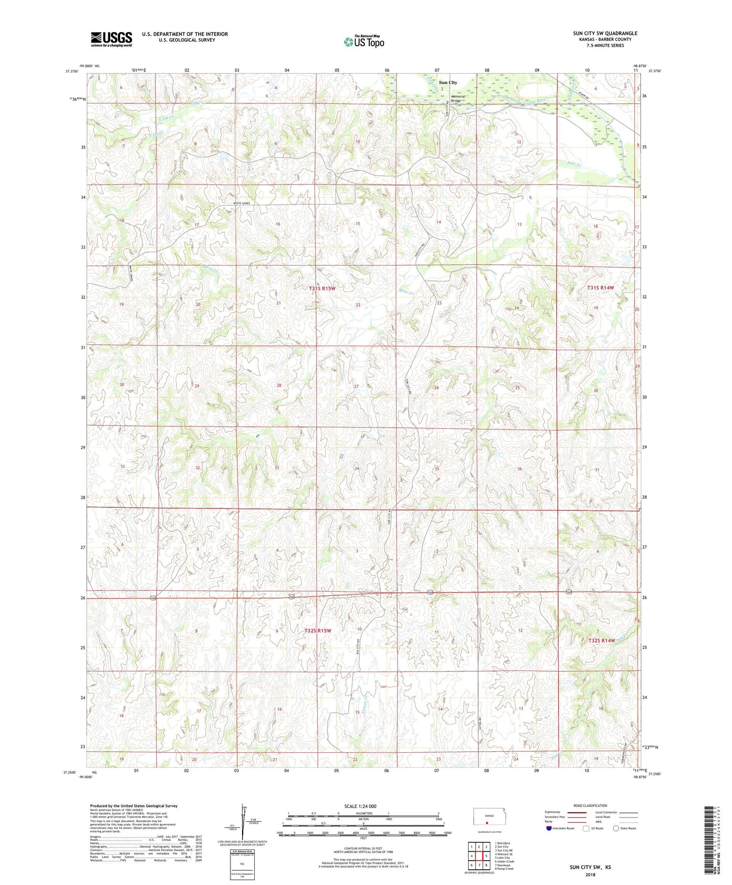
2022 topographic map quadrangle Sun City SW in the state of Kansas. Scale: 1:24000. Based on the newly updated USGS 7.5' US Topo map series, this map is in the following counties: Barber. The map contains contour data, water features, and other items you are used to seeing on USGS maps, but also has updated roads and other features. This is the next generation of topographic maps. Printed on high-quality waterproof paper with UV fade-resistant inks.
Quads adjacent to this one:
West: Wilmore SE
Northwest: Belvidere
North: Sun City
Northeast: Sun City NE
East: Lake City
Southeast: Pump Creek
South: Deerhead
Southwest: Indian Creek
This map covers the same area as the classic USGS quad with code o37098c8.
Contains the following named places: Bear Creek, Deerhead North Oil and Gas Field, Donald Oil and Gas Field, Memorial Bridge, Mulberry Creek, North Elk Creek, Red Hills Natural Bridge, South Elk Creek, Stumph Oil and Gas Field, Township of Sun City, Turkey Creek, ZIP Codes: 67071, 67143