MyTopo
Wakarusa Kansas US Topo Map
Couldn't load pickup availability
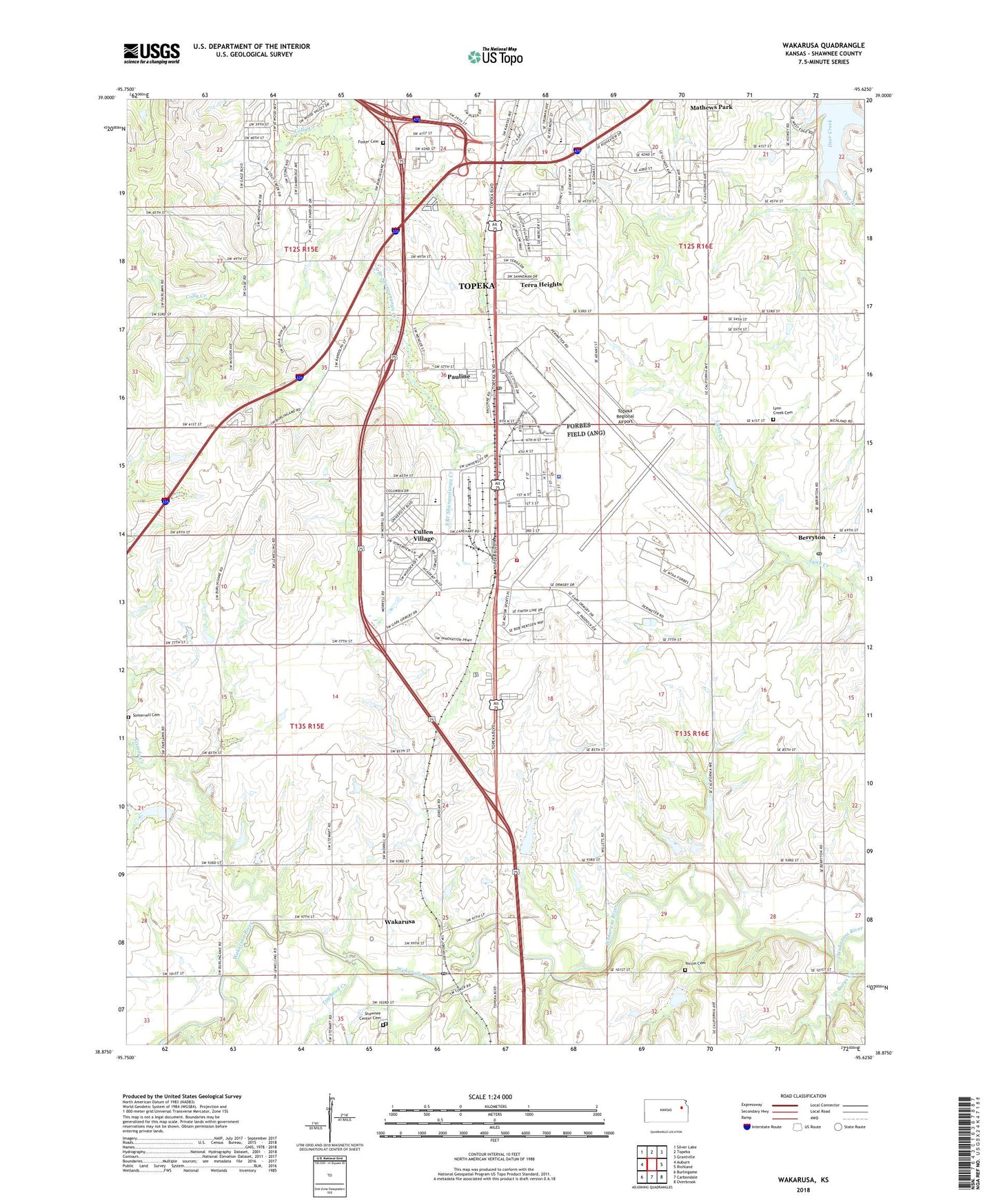
2022 topographic map quadrangle Wakarusa in the state of Kansas. Scale: 1:24000. Based on the newly updated USGS 7.5' US Topo map series, this map is in the following counties: Shawnee. The map contains contour data, water features, and other items you are used to seeing on USGS maps, but also has updated roads and other features. This is the next generation of topographic maps. Printed on high-quality waterproof paper with UV fade-resistant inks.
Quads adjacent to this one:
West: Auburn
Northwest: Silver Lake
North: Topeka
Northeast: Grantville
East: Richland
Southeast: Overbrook
South: Carbondale
Southwest: Burlingame
This map covers the same area as the classic USGS quad with code o38095h6.
Contains the following named places: Armstrong Branch, Berkshire Country Club, Berryton, Berryton Baptist Church, Berryton Elementary School, Berryton Post Office, Berryton United Methodist Church, Blue Oaks and Live Oaks Mobile Home Park, Bullseye Business Park, Burys Creek, Central Crossing Commerce Park, Challender, Coachlight Village Mobile Home Courts South, Colly Creek, Combat Air Museum, Cullen Village, East School, Emmanuel Baptist Church, Forbes Air Force Base, Forbes Field Metropolitan Topeka Airport Authority Fire Department, Forbes Public Golf Course, Foster Cemetery, Grace Community Church, Green Acres Park Mobile Home Park, Harlan Industrial Park, Heartland Park Topeka, Henderson Industrial Park, Hillside Mobile Home Park, Kanza Fire Commerce Park, Life Star of Kansas Air Medical Services, Linn Student Support Center, Lynn Creek Cemetery, Mathews Park, Metropolitan Topeka Airport Authority Police Department, Metzger Nursery, Museum of the Kansas National Guard, Pauline, Pauline Central Primary School, Pauline Post Office, Pauline South Intermediate School, Ridgewood Estates Mobile Home Park, Saint Philip Episcopal Church, Shady Acres Mobile Home Park, Shawnee Center Cemetery, Shawnee Heights Fire Station 23, Shawnee Hills Mobile Home Park, Simerwell Cemetery, Sixmile Creek, South Topeka Industrial Park, South Town Industrial Park, South Village Mobile Home Park, Southgate Industrial Plaza, Southwest Industrial Plaza, Sunnyside School, Terra Heights, Terra Heights Baptist Church, Topeka Air Industrial Park, Topeka Army Air Field, Topeka Baptist Church, Topeka Regional Airport, Towhead Creek, Township of Topeka, Township of Williamsport, Wakarusa, Wakarusa Census Designated Place, Wakarusa Post Office, Wakarusa Presbyterian Church, White Lakes Plaza, Yocum Cemetery, ZIP Codes: 66546, 66609, 66619


