MyTopo
Buckhorn Kentucky US Topo Map
Couldn't load pickup availability
Also explore the Buckhorn Forest Service Topo of this same quad for updated USFS data
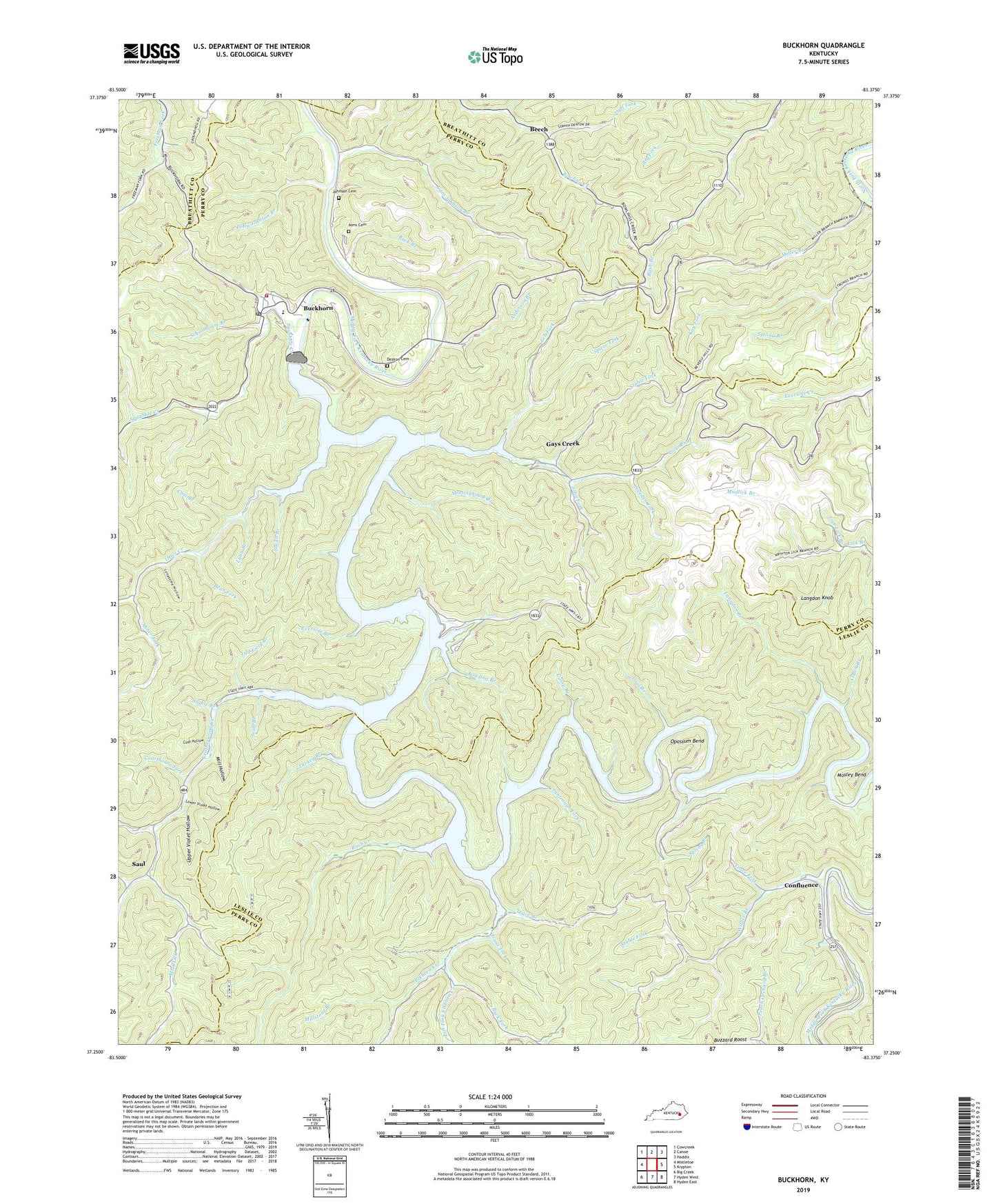
2022 topographic map quadrangle Buckhorn in the state of Kentucky. Scale: 1:24000. Based on the newly updated USGS 7.5' US Topo map series, this map is in the following counties: Perry, Leslie, Breathitt. The map contains contour data, water features, and other items you are used to seeing on USGS maps, but also has updated roads and other features. This is the next generation of topographic maps. Printed on high-quality waterproof paper with UV fade-resistant inks.
Quads adjacent to this one:
West: Mistletoe
Northwest: Cowcreek
North: Canoe
Northeast: Haddix
East: Krypton
Southeast: Hyden East
South: Hyden West
Southwest: Big Creek
This map covers the same area as the classic USGS quad with code o37083c4.
Contains the following named places: Abner Fork, Aims Cemetery, Anderson Branch, Bear Fork, Beech, Big Fork, Big Hill, Bowling Branch, Bowling Creek School, Bowlingtown, Bowlingtown Post Office, Bowlingtown School, Buck Branch, Buck Fork, Buckhorn, Buckhorn Dam, Buckhorn Division, Buckhorn Lake, Buckhorn Lake State Resort Park, Buckhorn Post Office, Buckhorn Presbyterian Church, Buckhorn Volunteer Fire Department, Cam Johnson Branch, Camp Branch, City of Buckhorn, Coal Branch, Coal Hollow, Coneva Railroad Station, Confluence, Confluence Post Office, Couch Branch, Courthouse Fork, Cow Branch, Deaton Cemetery, Duff Fork, Elkhorn Creek, Eversole Branch, Feb Fork, Gay Post Office, Gays Creek, Gays Creek Post Office, Isaac Fork, John Fork, Johnson, Johnson Cemetery, Johnson Church, Kay Fork, Langdon Branch, Langdon Knob, Laurel Point, Leatherwood Boat Ramps, Leatherwood Church, Leatherwood Creek, Leatherwood School, Left Fork Elkhorn Creek, Lige Lick Branch, Lonesome Hollow, Lower Leatherwood, Lower Violet Hollow, Lynn Branch, Mary Breckinridge Memorial Park, Meetinghouse Branch, Mill Hollow, Miller Branch, Miller Branch School, Millstone Branch, Mosley Bend, Mud Lick, Mudlick Branch, Old Field Branch, Opossum Bend, Otter Creek, Otter Creek School, Polly Johnson Branch, Right Fork Leatherwood Creek, Rockhouse Fork, Rush Creek, Saul, Saul Post Office, Scalf Branch, Schoolhouse Branch, Shoal, Shoal Post Office, Shoal School, Smith Branch, Spicer Fork, Spring Branch, Squabble Creek, Stable Branch, Stable Fork, Strong Branch School, Sweden Fork, Tantrough Fork, Trace Branch, Trace Fork, Turkey Branch, Upper Violet Hollow, Wharton Post Office, Wilder Branch, Wilder Branch School, ZIP Codes: 41721, 41745, 41762


