MyTopo
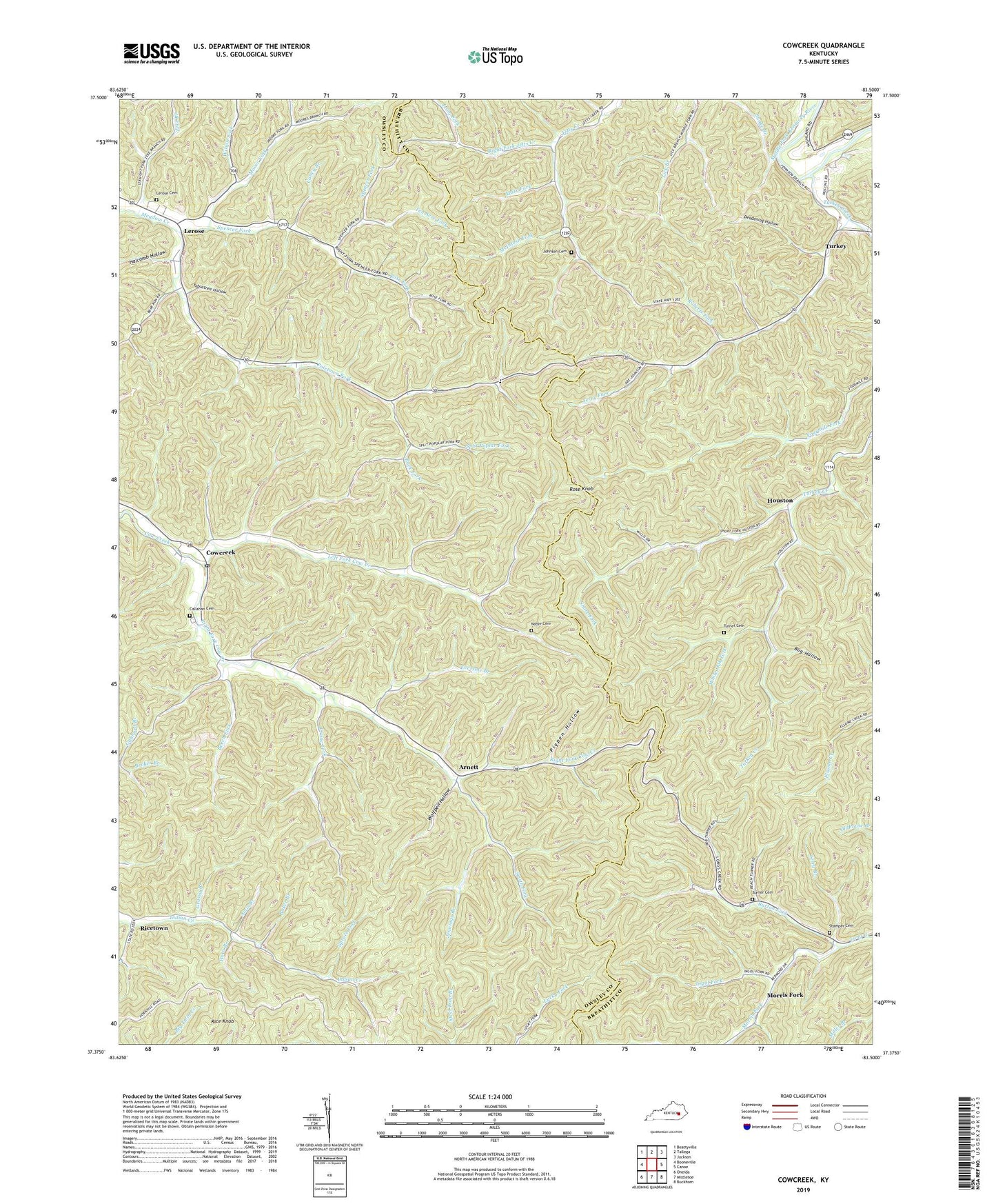
Cowcreek Kentucky US Topo Map
Couldn't load pickup availability
Also explore the Cowcreek Forest Service Topo of this same quad for updated USFS data
2022 topographic map quadrangle Cowcreek in the state of Kentucky. Scale: 1:24000. Based on the newly updated USGS 7.5' US Topo map series, this map is in the following counties: Owsley, Breathitt. The map contains contour data, water features, and other items you are used to seeing on USGS maps, but also has updated roads and other features. This is the next generation of topographic maps. Printed on high-quality waterproof paper with UV fade-resistant inks.
Quads adjacent to this one:
West: Booneville
Northwest: Beattyville
North: Tallega
Northeast: Jackson
East: Canoe
Southeast: Buckhorn
South: Mistletoe
Southwest: Oneida
This map covers the same area as the classic USGS quad with code o37083d5.
Contains the following named places: Amis Branch, Arnett, Arnett Post Office, Ash Post Office, Baker Branch, Beech Fork, Broker Branch, Buck Fork, Bug Hollow, Burton Fork, Callahan Cemetery, Cane Fork School, Caney Branch, Cowcreek, Cowcreek Church, Cowcreek Post Office, Crane Fork, Deadening Hollow, Eversole Branch, Faith Hill Church, Forest Hill Community Center, Fountainhead Church, Grassy Branch, Grassy Branch School, Halcomb Hollow, Hall Neighborhood, Hall School, Horn Branch, Houston, Houston Mission School, Ikie Branch, Indian Creek Neighborhood, Indian Creek School, Ingol Fork, Jennings Branch, Johnson Cemetery, Left Fork Cow Creek, Lerose, Lerose Cemetery, Lerose Post Office, Lerose School, Long Fork, Mare Fork, McIntosh Fork, Mine Fork Post Office, Moore Fork, Morris Fork, Noble Cemetery, Pigpen Hollow, Poletown Fork, Rice Knob, Ricetown, Ricetown Post Office, Right Fork Cow Creek, Right Fork Jetts Creek, Riley Fork, Roberts Fork, Rose Fork, Rose Knob, Short Fork, Smith Fork, Spencer Fork, Split Poplar Fork, Spruce Fork, Stamper Cemetery, Stringtown Branch, Tabletree Hollow, Ten Acre Fork, Terry Branch, Terry Fork, Turkey, Turkey Creek, Turner Cemetery, White Oak Fork, Wilson Fork, Wolfpen Hollow, Zeke Branch


