MyTopo
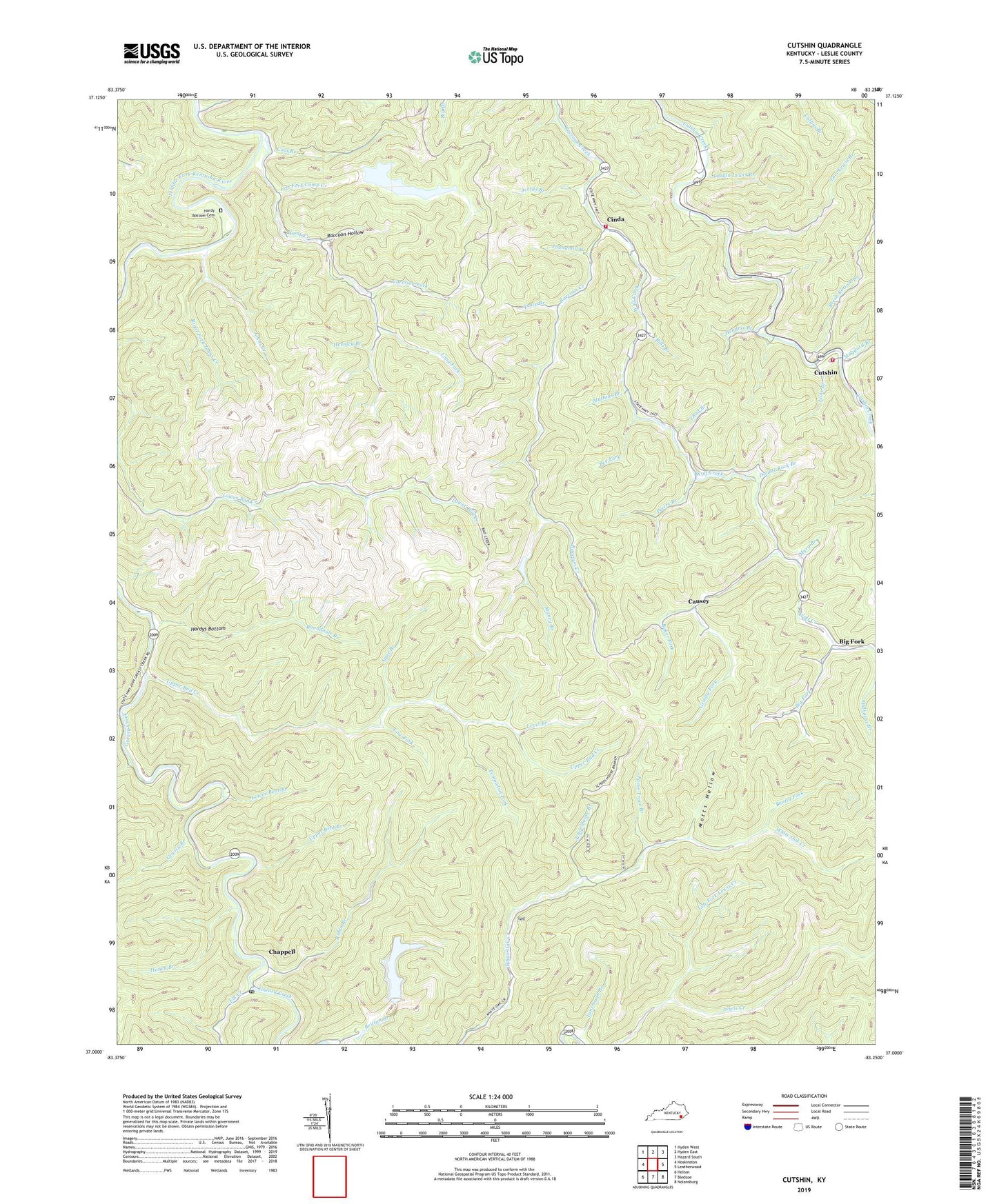
Cutshin Kentucky US Topo Map
Couldn't load pickup availability
Also explore the Cutshin Forest Service Topo of this same quad for updated USFS data
2022 topographic map quadrangle Cutshin in the state of Kentucky. Scale: 1:24000. Based on the newly updated USGS 7.5' US Topo map series, this map is in the following counties: Leslie. The map contains contour data, water features, and other items you are used to seeing on USGS maps, but also has updated roads and other features. This is the next generation of topographic maps. Printed on high-quality waterproof paper with UV fade-resistant inks.
Quads adjacent to this one:
West: Hoskinston
Northwest: Hyden West
North: Hyden East
Northeast: Hazard South
East: Leatherwood
Southeast: Nolansburg
South: Bledsoe
Southwest: Helton
This map covers the same area as the classic USGS quad with code o37083a3.
Contains the following named places: Ague Branch, Baker Fork, Baker Fork School, Bear Branch, Beatty Fork, Bee Fork, Beech Bottom Branch, Big Fork, Big Fork Church, Big Fork Post Office, Bills Branch, Bonnet Rock Branch, Camp Creek, Camp Creek Post Office, Causey, Causey Post Office, Chapel Post Office, Chappell, Cinda, Cinda Post Office, Cinda School, Coal Branch, Coon Creek Volunteer Fire Department, Cow Fork, Cutshin, Cutshin Division, Cutshin Post Office, Cutshin Volunteer Fire and Rescue Station 1, Deadening Fork, Double Rock Branch, Elk Creek, Elk School, Garrison Fork, Grassy Branch, Grassy Fork, Hardy Bottom Cemetery, Hardys Bottom, Haywood Post Office, Hendrix Branch, Hensley Branch, Honey Branch, Hurricane Creek, Jerrys Branch, Johns Creek, Lane Branch, Larkin Lewis Branch, Larkin Lewis School, Left Fork Camp Creek, Left Fork Lewis Creek, Level Branch, Levi Lewis Branch, Lewis Creek School, Long Fork, Lower Bent Branch, Lower Camp Creek School, Maggard Branch, Maggard Branch School, Marion Fork, Mathias Branch, Motts Hollow, Muncy Branch, Myra Branch, Paces Trace Branch, Pennington Post Office, Peters Branch, Poundmill Branch, Raccoon Hollow, Raccoon School, Right Fork Johns Creek, Roan Gap School, Robin Branch, Roundhole Branch, Royal School, Schoolhouse Branch, Signboard Branch, Sinda Post Office, Solid Rock Bible Church, Tantrough Branch, Templeton Fork, Thad Branch, Trace Branch, Upper Bad Creek, Upper Bent Branch, Upper Camp Creek School, Upper White Oak School, Whiting Post Office, Wilder Branch, Wolf Creek, Wolf Creek School, ZIP Codes: 40816, 40844, 41764, 41775, 41777