MyTopo
Germantown Kentucky US Topo Map
Couldn't load pickup availability
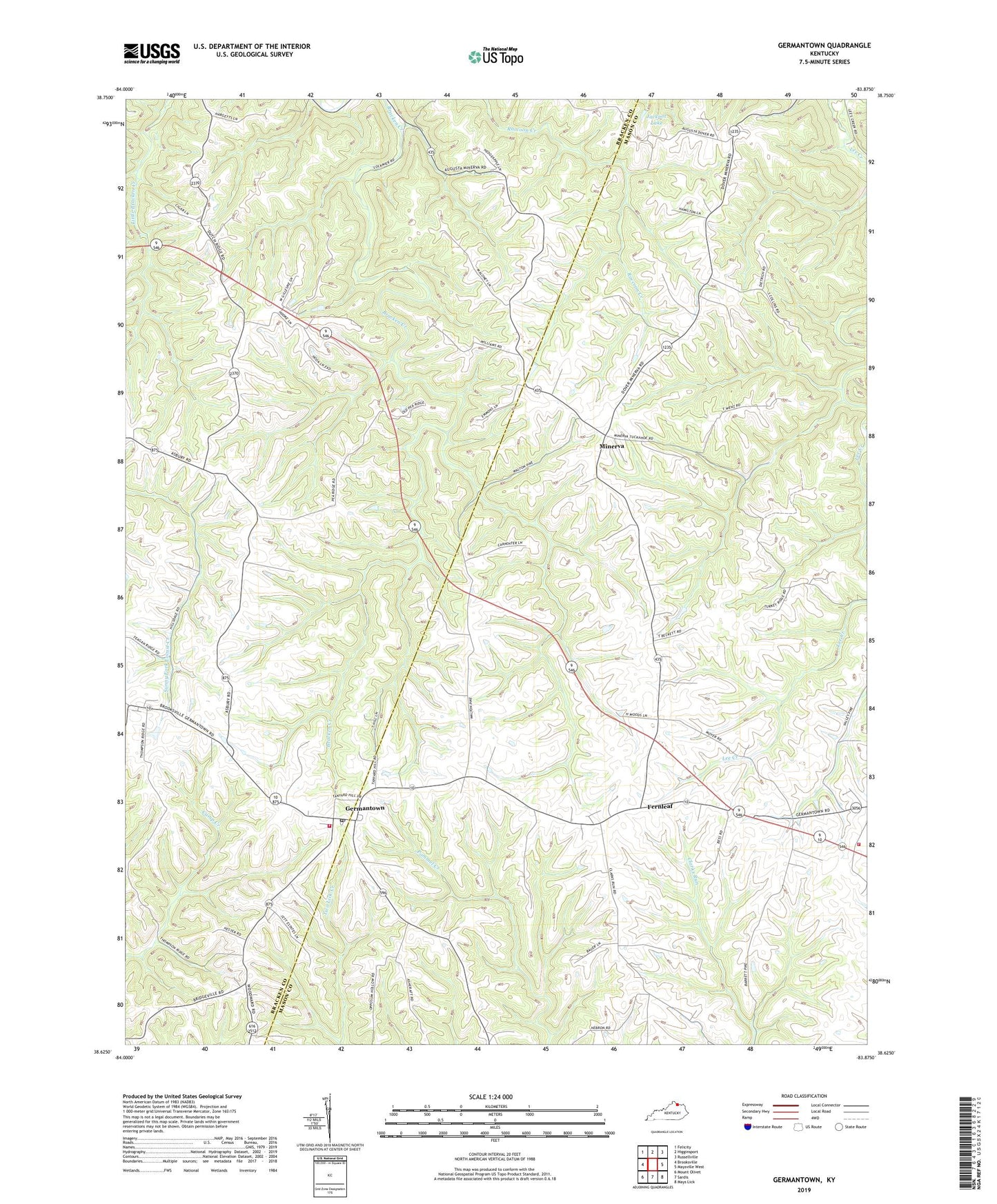
2022 topographic map quadrangle Germantown in the state of Kentucky. Scale: 1:24000. Based on the newly updated USGS 7.5' US Topo map series, this map is in the following counties: Mason, Bracken. The map contains contour data, water features, and other items you are used to seeing on USGS maps, but also has updated roads and other features. This is the next generation of topographic maps. Printed on high-quality waterproof paper with UV fade-resistant inks.
Quads adjacent to this one:
West: Brooksville
Northwest: Felicity
North: Higginsport
Northeast: Russellville
East: Maysville West
Southeast: Mays Lick
South: Sardis
Southwest: Mount Olivet
This map covers the same area as the classic USGS quad with code o38083f8.
Contains the following named places: Bracken Baptist Church Historical Marker, City of Germantown, Felix Chapel Baptist Church, Fernleaf, Germantown, Germantown Post Office, Germantown Volunteer Fire Department, Hillsdale Post Office, Jackpot Lake, Minerva, Sharon Church, ZIP Codes: 41002, 41034, 41062