MyTopo
Livingston Kentucky US Topo Map
Couldn't load pickup availability
Also explore the Livingston Forest Service Topo of this same quad for updated USFS data
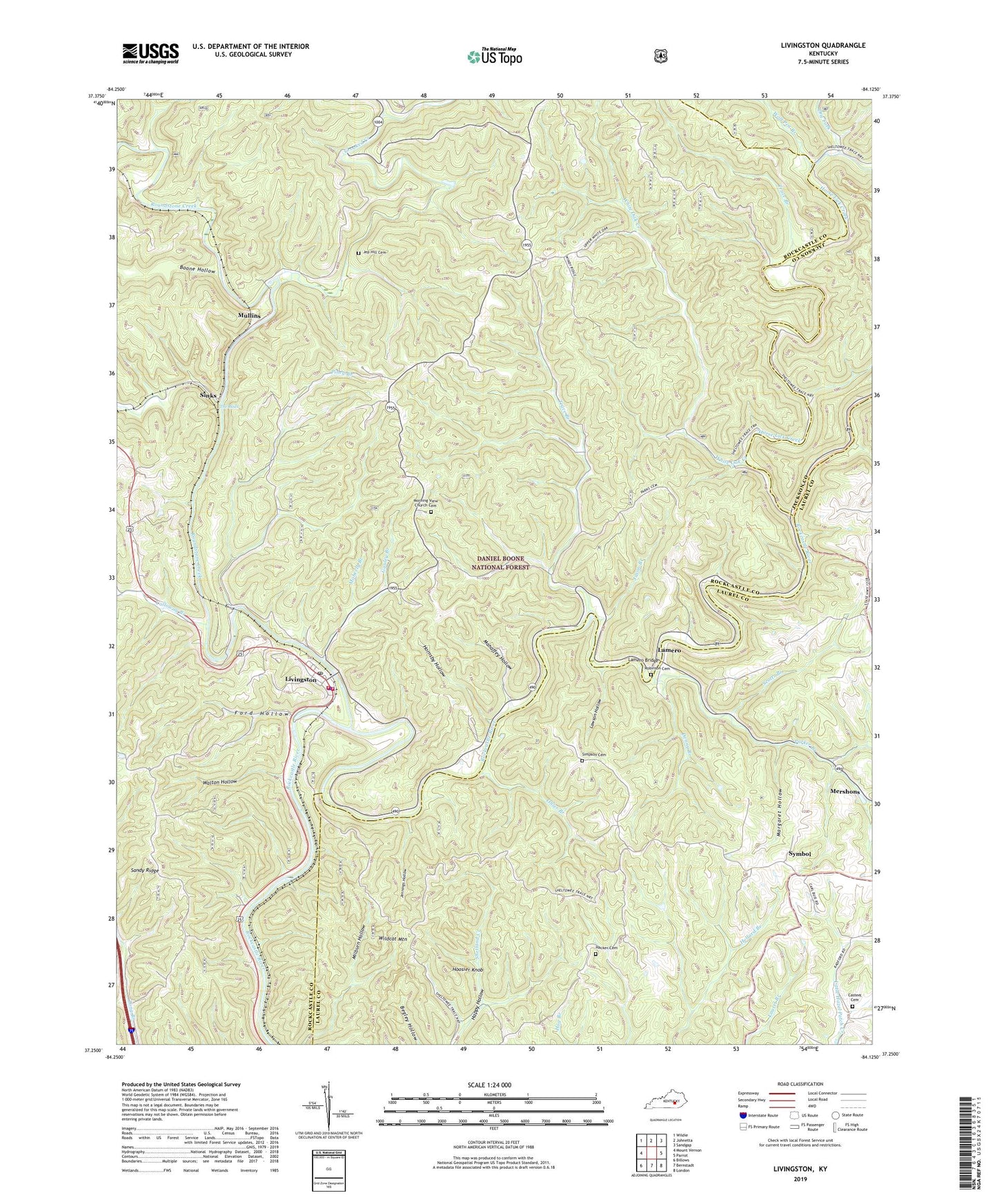
2022 topographic map quadrangle Livingston in the state of Kentucky. Scale: 1:24000. Based on the newly updated USGS 7.5' US Topo map series, this map is in the following counties: Rockcastle, Laurel, Jackson. The map contains contour data, water features, and other items you are used to seeing on USGS maps, but also has updated roads and other features. This is the next generation of topographic maps. Printed on high-quality waterproof paper with UV fade-resistant inks.
Quads adjacent to this one:
West: Mount Vernon
Northwest: Wildie
North: Johnetta
Northeast: Sandgap
East: Parrot
Southeast: London
South: Bernstadt
Southwest: Billows
This map covers the same area as the classic USGS quad with code o37084c2.
Contains the following named places: Amber Railroad Station, Boone Hollow, Calloway Branch, Calloway Church, Camp Wildcat Battle Monument, Casteel Cemetery, Cave Ridge School, City of Livingston, Crooked Creek, Cruise Ferry, Cruises Ferry, Denny Branch, Dillion Railroad Station, Donara Railroad Station, Dry Fork, Dudley Railroad Station, Fairview Church, Ford Hollow, Gauley Branch, Hacker Cemetery, Hoosier Knob, Hornsby Hollow, Horse Lick Creek, Jason Branch, Jennings Hollow, Jep Hill, Jep Hill Cemetery, Jep Hill Church, John Faris Tavern, Lamero, Lamero Bridge, Lamero Post Office, Laurel Branch, Lawson Hollow, Livingston, Livingston Division, Livingston Fire and Rescue Department City Station, Livingston Fire and Rescue Department County Station, Livingston Police Department, Livingston Post Office, Livingston Railroad Station, Mahaffey Hollow, Margaret Hollow, Mershons, Moberly Branch, Morning View Church, Morning View Church Cemetery, Mullins, Mullins Railroad Station, Ohler Branch, Parker Branch, Perth Railroad Station, Piney Branch, Red Hill Church, Red Hill School, Richmond Ford, Robinson Cemetery, Rockcastle River Railroad Station, Roundstone Creek, Sand Hill Church, Sand Hill Lookout Tower, Sandy Ridge, Scotts Branch, Simpson Cemetery, Sinks, Sinks Railroad Station, Symbol, The Boils, Trace Branch, Walton Hollow, White Oak Creek, Wildcat Mountain, Winding Blade Chapel, Wolf Pen Branch, ZIP Codes: 40445, 40729