MyTopo
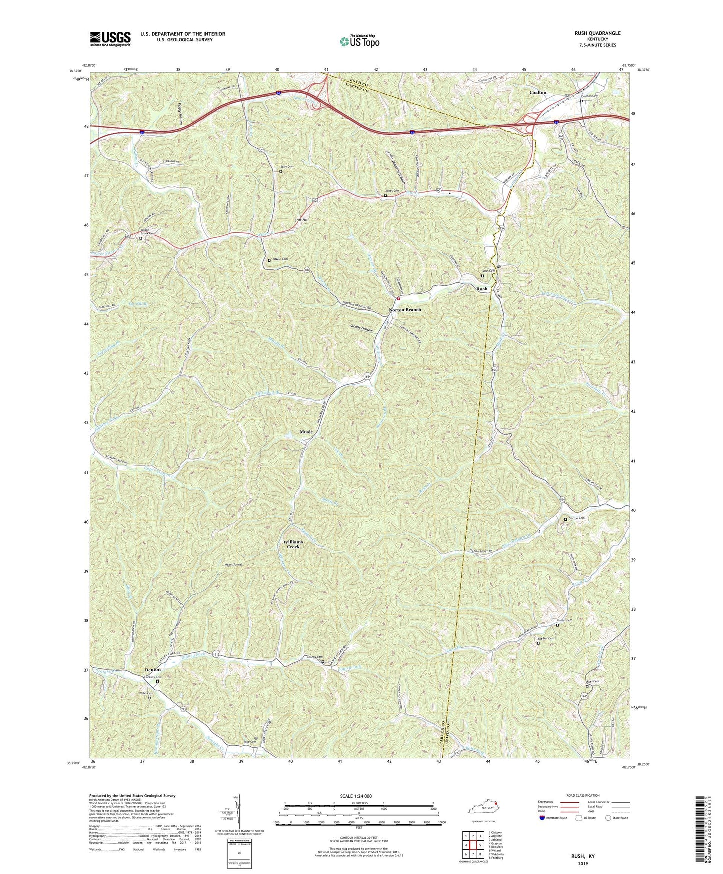
Rush Kentucky US Topo Map
Couldn't load pickup availability
2022 topographic map quadrangle Rush in the state of Kentucky. Scale: 1:24000. Based on the newly updated USGS 7.5' US Topo map series, this map is in the following counties: Carter, Boyd, Greenup. The map contains contour data, water features, and other items you are used to seeing on USGS maps, but also has updated roads and other features. This is the next generation of topographic maps. Printed on high-quality waterproof paper with UV fade-resistant inks.
Quads adjacent to this one:
West: Grayson
Northwest: Oldtown
North: Argillite
Northeast: Ashland
East: Boltsfork
Southeast: Fallsburg
South: Webbville
Southwest: Willard
This map covers the same area as the classic USGS quad with code o38082c7.
Contains the following named places: Bailey Mine Railroad Station, Bailey Mine Station, Coalton, Coalton Cemetery, Coalton Post Office, Coalton School, Community Church, Cooksey Cemetery, Dawson Branch, Denton, Denton School, Dinnens Branch, Fighting Fork, Foggy Hollow, Geigersville School, Glancy Cemetery, Glancy Fork, Glancy School, Grant, Grant Station, Gravel Lick, Gravel Lick School, Hammertight Branch, Hazlet Cemetery, Hogshead Hollow, J D Ross Chapel, Jacobs Hollow, Jones Cemetery, Kilgore Station, Klaiber Cemetery, Lick Branch, Long Branch School, Lower Rush School, Means Tunnel, Middle Wilson School, Mill Road Branch, Music, Music Post Office, Music School, Norton Branch, Norton Branch Church, Norton Branch School, Norton Branch Volunteer Fire Department, Norton Post Office, Norton Station, Old School Church, O'Neal Cemetery, Rice - Queen Cemetery, Ross Cemetery, Rush, Rush Cemetery, Rush Creek, Rush Post Office, Rush Station, Sally Cemetery, Seney Post Office, Sexton Cemetery, Shanty Branch, Shop Branch, Star Creek, Star Hill, Star Mines, Star School, Suesie Branch, Swanson Branch, Twin Lick, Upper Wilson Creek School, Webb Cemetery, Williams Creek, Williams Creek Station, Wilson Creek Cemetery, Wilson Creek Church, ZIP Codes: 41132, 41168


