MyTopo
West Liberty Kentucky US Topo Map
Couldn't load pickup availability
Also explore the West Liberty Forest Service Topo of this same quad for updated USFS data
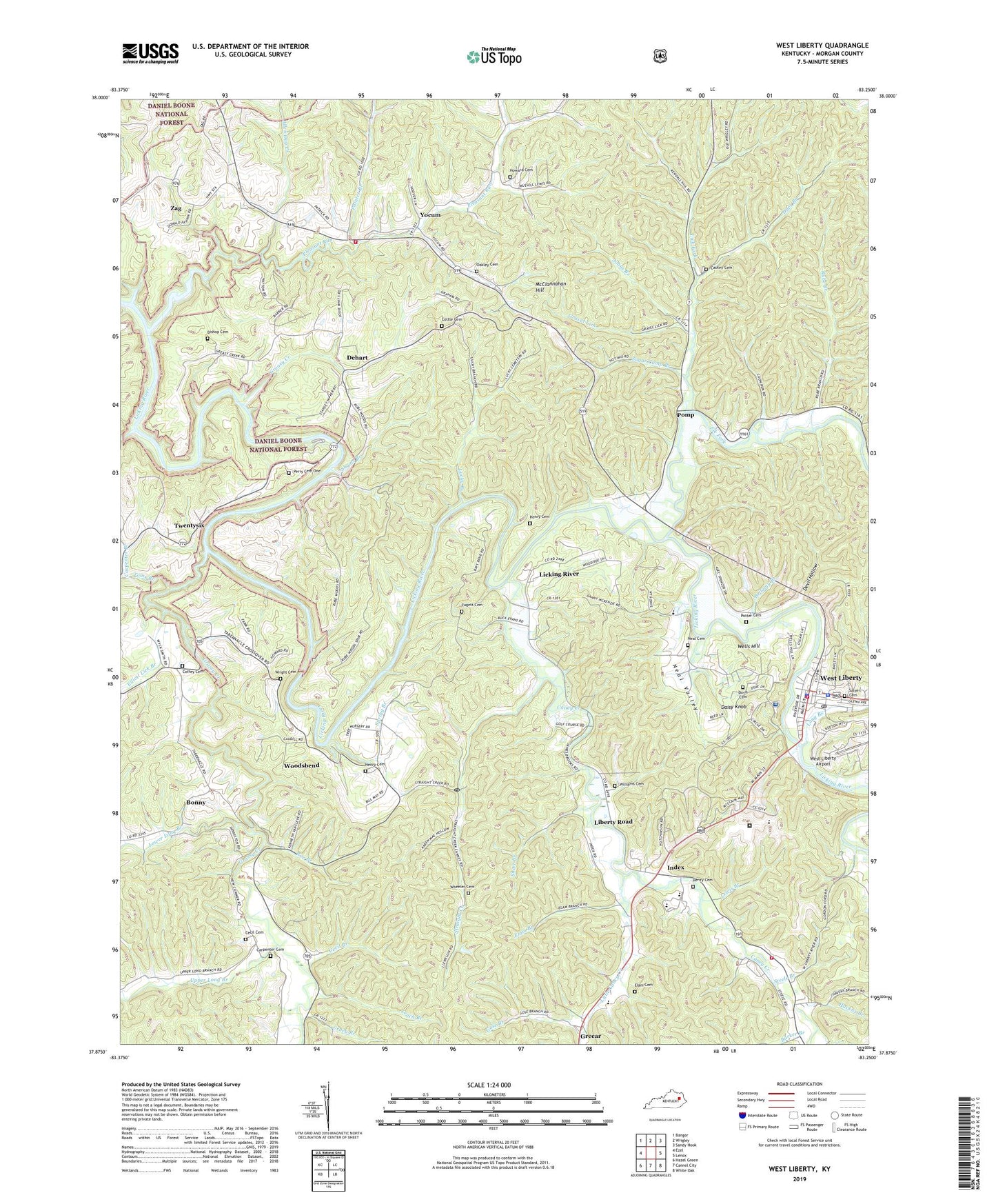
2022 topographic map quadrangle West Liberty in the state of Kentucky. Scale: 1:24000. Based on the newly updated USGS 7.5' US Topo map series, this map is in the following counties: Morgan. The map contains contour data, water features, and other items you are used to seeing on USGS maps, but also has updated roads and other features. This is the next generation of topographic maps. Printed on high-quality waterproof paper with UV fade-resistant inks.
Quads adjacent to this one:
West: Ezel
Northwest: Bangor
North: Wrigley
Northeast: Sandy Hook
East: Lenox
Southeast: White Oak
South: Cannel City
Southwest: Hazel Green
This map covers the same area as the classic USGS quad with code o37083h3.
Contains the following named places: 519 Volunteer Fire Department, Abundant Life Full Gospel Church, Allen Day Creek, Assembly of Faith Church, Barker Branch, Bear Wallow, Bellamy Branch, Bishop Cemetery, Bonny, Bonny Post Office, Caney Creek, Caney Valley Fire Department, Carpenter Branch, Carpenter Cemetery, Carter School, Caskey Cemetery, Cattle School, Cecil Branch, Cecil Cemetery, City of West Liberty, Coffey Cemetery, Cottle Cemetery, Cruey Branch, Daisy Knob, Davis Cemetery, Dehart, Devil Hollow, Dyer Branch, Eastern Kentucky Correctional Complex, Elam Branch, Elam Cemetery, Elk Fork, Elliott Lick Branch, Fannin, Fugett Cemetery, Gose Branch, Grassy Creek, Grassy Valley Church, Gravel Lick, Greasy Creek, Greasy School, Greear, Greear Post Office, Hamptons Mill Post Office, Havens Branch, Henry, Henry Cemetery, Henry Post Office, Howard Cemetery, Index, Index Community Church, Index Post Office, Index Railroad Station, Jeston Post Office, Johns Branch, Kay Branch, Leach Branch, Lemon Post Office, Lewis Branch, Liberty Road, Liberty Road Post Office, Lick Fork, Licking River, Licking River Post Office, Licking River School, Little Caney Creek, Long Branch, Lower Long Branch, Lucky Branch, McClannahan Hill, McKinney Church, Morgan County, Morgan County Appalachian Regional Hospital, Morgan County Emergency Ambulance Service, Morgan County Office Building, Morgan County Sheriff's Office, Morgan County Vocational School, Mussel Shoals Bridge, Mussel Shoals School, Neal Cemetery, Neal Valley, New Cummer Post Office, Oakley Cemetery, Painter Branch, Perry Bend, Perry Cemetery One, Pleasant Run, Pomp, Pomp Post Office, Potter Cemetery, Roe Branch, Rube Branch, Salyer Cemetery, Shoals Branch, Short Branch, Southfork Church, Spring Branch, Steele Branch, Straight Creek, Sugar Camp Branch, Toms Branch, Twenty Six Post Office, Twentysix, Twentysix Boat Ramp, Upper Long Branch, Upper Pleasant Run School, Wells Hill, Wells Hill School, West Liberty, West Liberty Airport, West Liberty Christian Church, West Liberty Fire Department, West Liberty Police Department, West Liberty Post Office, Wheeler Cemetery, Williams Cemetery, WLKS-AM (West Liberty), Woodsbend, Woodsbend Post Office, Woodsbend School, Wright Cemetery, Yocum, Zag, Zag Post Office


