MyTopo
Bay Ronquille Louisiana US Topo Map
Couldn't load pickup availability
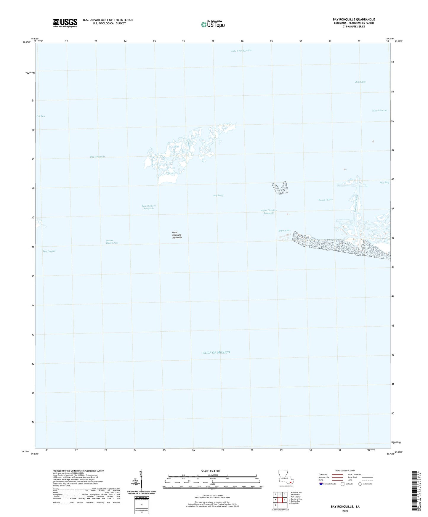
2025 topographic map quadrangle Bay Ronquille in the state of Louisiana. Scale: 1:24000. Based on the newly updated USGS 7.5' US Topo map series, this map is in the following counties: Plaquemines. The map contains contour data, water features, and other items you are used to seeing on USGS maps, but also has updated roads and other features. This is the next generation of topographic maps. Printed on high-quality waterproof paper with UV fade-resistant inks.
Quads adjacent to this one:
West: Barataria Pass
Northwest: Wilkinson Bay
North: Bay Batiste
Northeast: Port Sulphur
East: Bastian Bay
Southwest: Grand Isle
This map covers the same area as the classic USGS quad with code o29089c7.
Contains the following named places: Bay Cheniere Ronquille, Bay Dispute, Bay La Mer, Bay Long, Bay Ronquille, Bayou Cheniere Ronquille, Bayou la Mer, Billet Bay, Pipe Bay, Point Cheniere Ronquille, Quatre Bayou Pass