MyTopo
Black Lake Louisiana US Topo Map
Couldn't load pickup availability
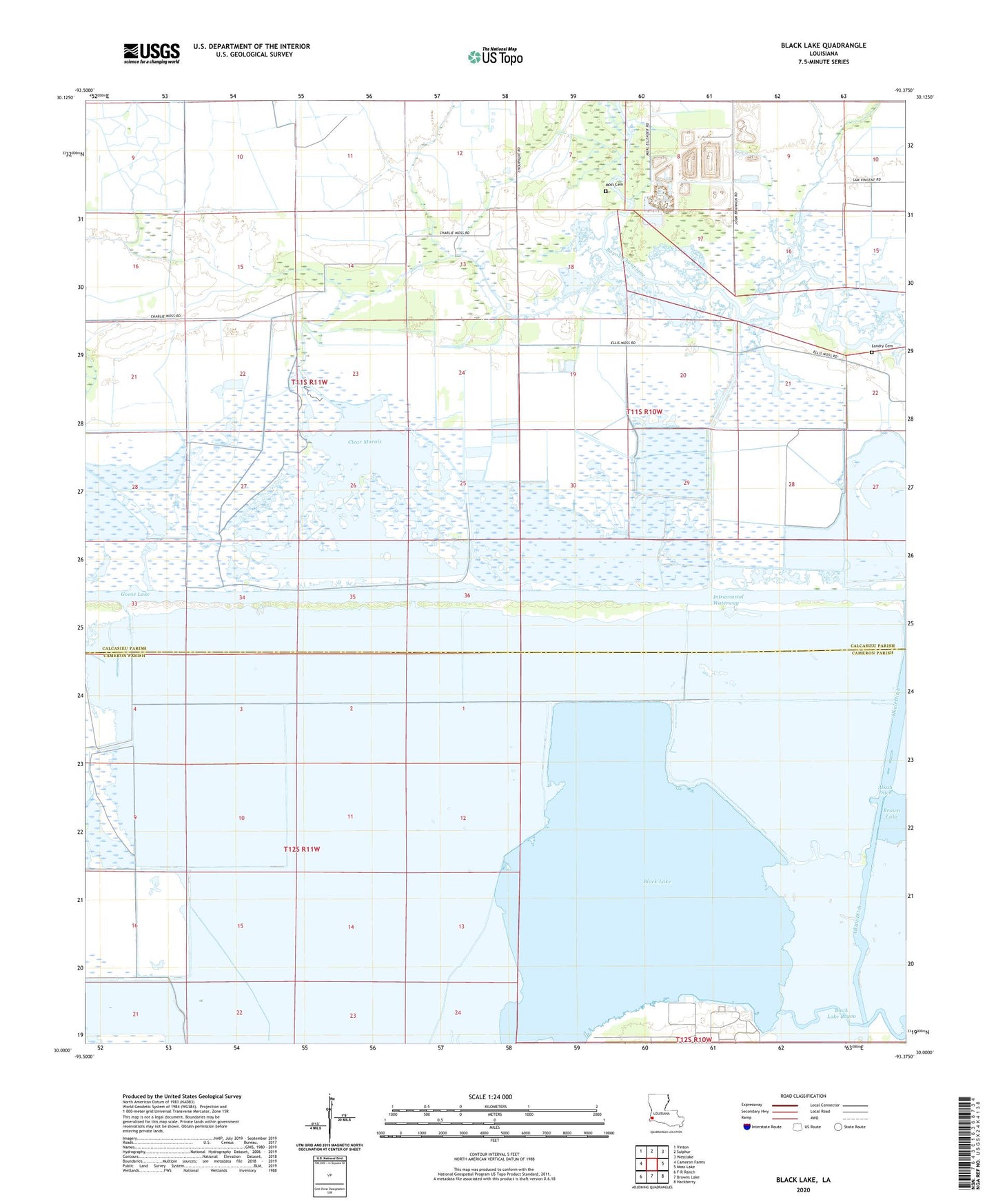
2024 topographic map quadrangle Black Lake in the state of Louisiana. Scale: 1:24000. Based on the newly updated USGS 7.5' US Topo map series, this map is in the following counties: Calcasieu, Cameron. The map contains contour data, water features, and other items you are used to seeing on USGS maps, but also has updated roads and other features. This is the next generation of topographic maps. Printed on high-quality waterproof paper with UV fade-resistant inks.
Quads adjacent to this one:
West: Cameron Farms
Northwest: Vinton
North: Sulphur
Northeast: Westlake
East: Moss Lake
Southeast: Hackberry
South: Browns Lake
Southwest: F-R Ranch
This map covers the same area as the classic USGS quad with code o30093a4.
Contains the following named places: Alkali Ditch, Bayou Choupique Oil and Gas Field, Black Lake, Choupique Gas Field, Clear Marais, Gardiner Slip, Goose Lake, Landry Cemetery, Moss Cemetery, West Hackberry Heliport, West Hackberry Oil Field, ZIP Code: 70665