MyTopo
Blackburn Louisiana US Topo Map
Couldn't load pickup availability
Also explore the Blackburn Forest Service Topo of this same quad for updated USFS data
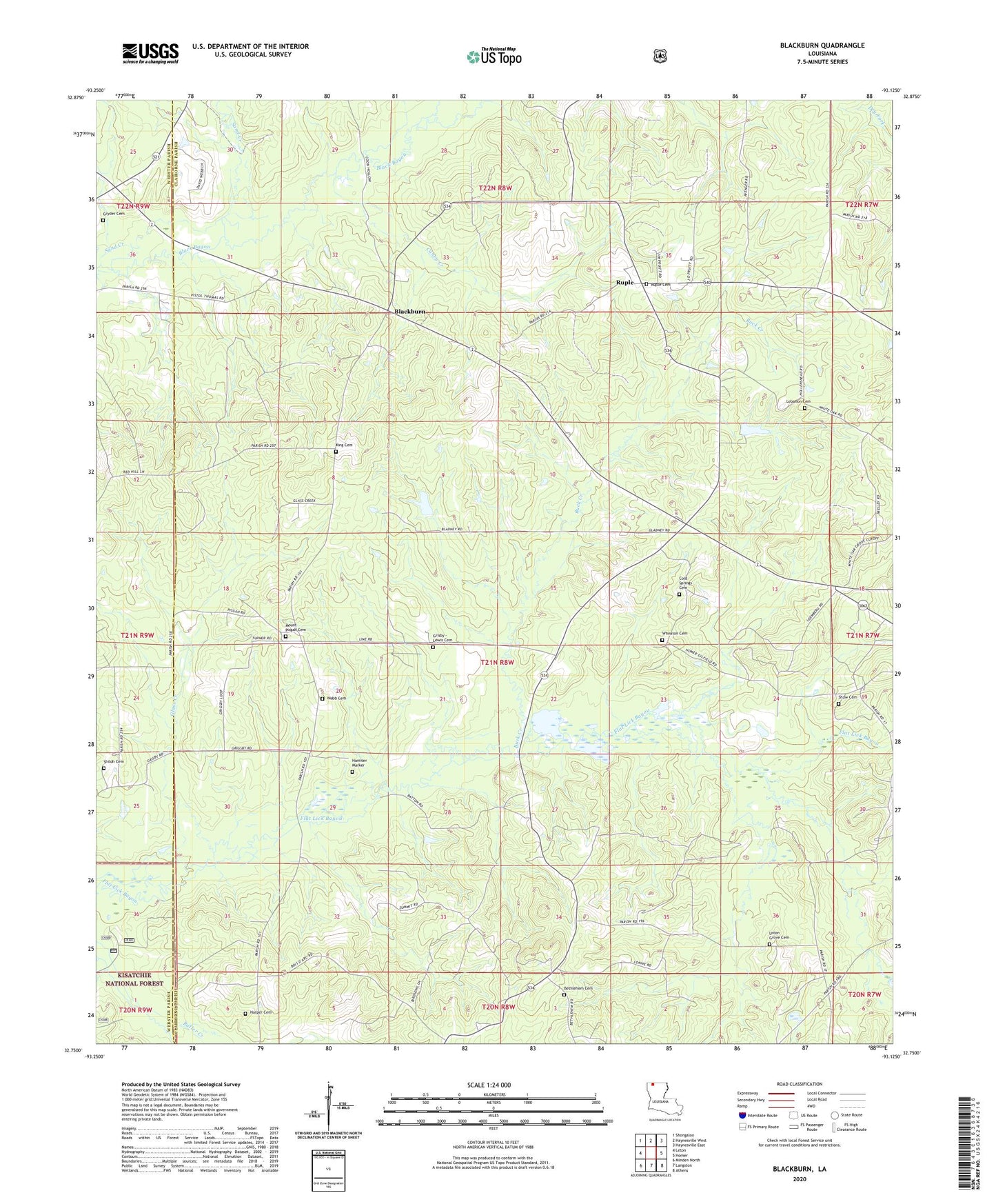
2024 topographic map quadrangle Blackburn in the state of Louisiana. Scale: 1:24000. Based on the newly updated USGS 7.5' US Topo map series, this map is in the following counties: Claiborne, Webster. The map contains contour data, water features, and other items you are used to seeing on USGS maps, but also has updated roads and other features. This is the next generation of topographic maps. Printed on high-quality waterproof paper with UV fade-resistant inks.
Quads adjacent to this one:
West: Leton
Northwest: Shongaloo
North: Haynesville West
Northeast: Haynesville East
East: Homer
Southeast: Athens
South: Langston
Southwest: Minden North
This map covers the same area as the classic USGS quad with code o32093g2.
Contains the following named places: Beaver Lake, Bethany Church, Bethlehem Cemetery, Bethlehem Church, Blackburn, Blackburn Lookout Tower, Blackburn School, Buck Creek, Caney Creek, Cold Springs Cemetery, East Blackburn Gas Field, Glass Creek, Gryder Cemetery, Harper Cemetery, Hollenshead Dam, Homer Oil Field, King Cemetery, Mount Lebanon Church, Mount Pisgah School, Oil Field Church, Oil Field School, Parish Governing Authority District 3, Rocky Mountain School, Ruple, Ruple Church, Saints Rest School, Sand Creek, Shady Grove Church, Shiloh Cemetery, Shiloh Church, Webb Cemetery, Wheaton Cemetery