MyTopo
Brimstone Louisiana US Topo Map
Couldn't load pickup availability
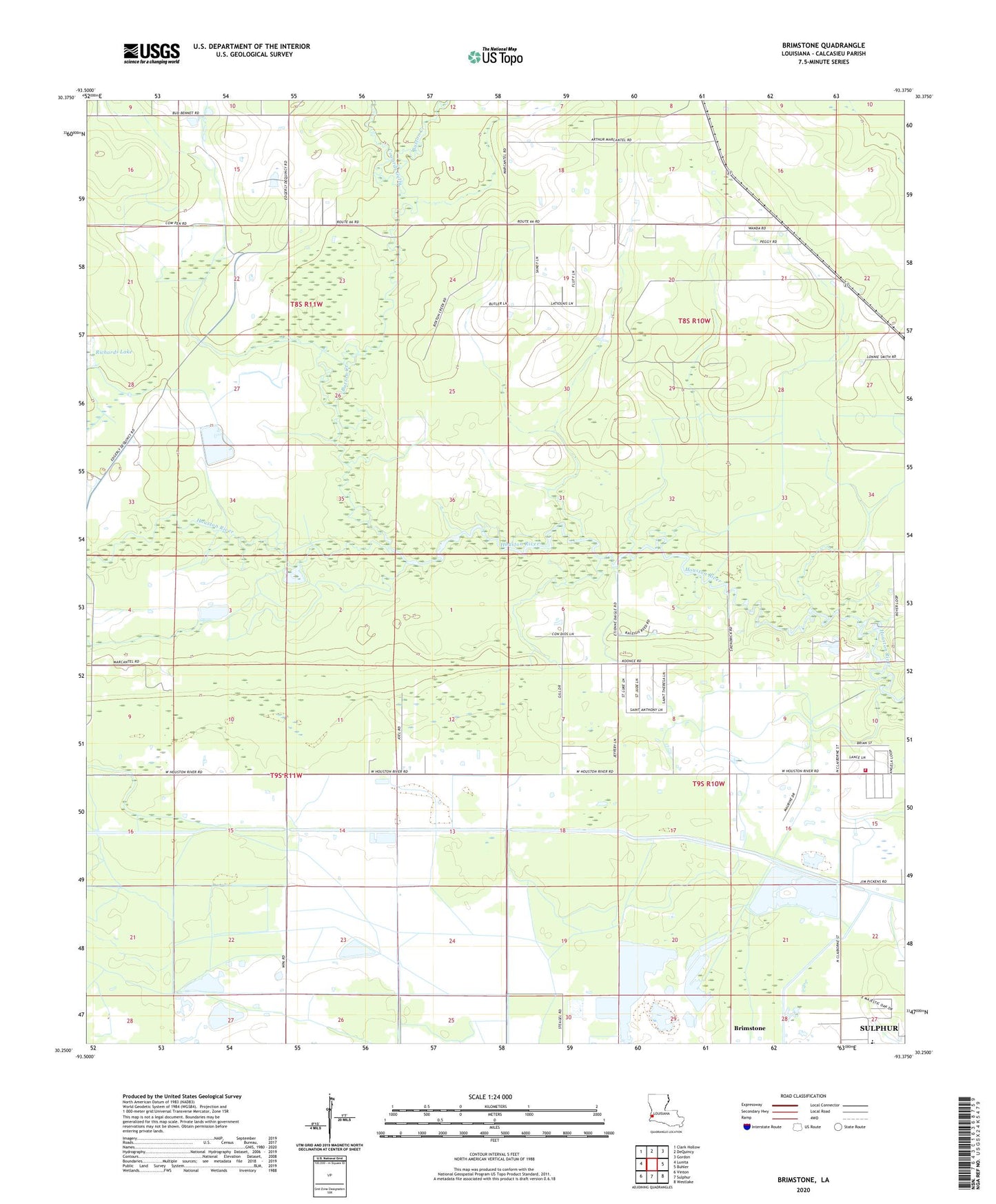
2024 topographic map quadrangle Brimstone in the state of Louisiana. Scale: 1:24000. Based on the newly updated USGS 7.5' US Topo map series, this map is in the following counties: Calcasieu. The map contains contour data, water features, and other items you are used to seeing on USGS maps, but also has updated roads and other features. This is the next generation of topographic maps. Printed on high-quality waterproof paper with UV fade-resistant inks.
Quads adjacent to this one:
West: Lunita
Northwest: Clark Hollow
North: DeQuincy
Northeast: Gordon
East: Buhler
Southeast: Westlake
South: Sulphur
Southwest: Vinton
This map covers the same area as the classic USGS quad with code o30093c4.
Contains the following named places: Buxton Creek, Cowards Gully, DeQuincy Lookout Tower, Edgerly Oil Field, Gordon Fire Tower, Houston River Canal, Houston River Volunteer Fire Department, Kingdom Hall of Jehovahs Witnesses, LeBlanc Middle School, Richards Lake, Sulphur Oil Field