MyTopo
Burrwood Bayou East Louisiana US Topo Map
Couldn't load pickup availability
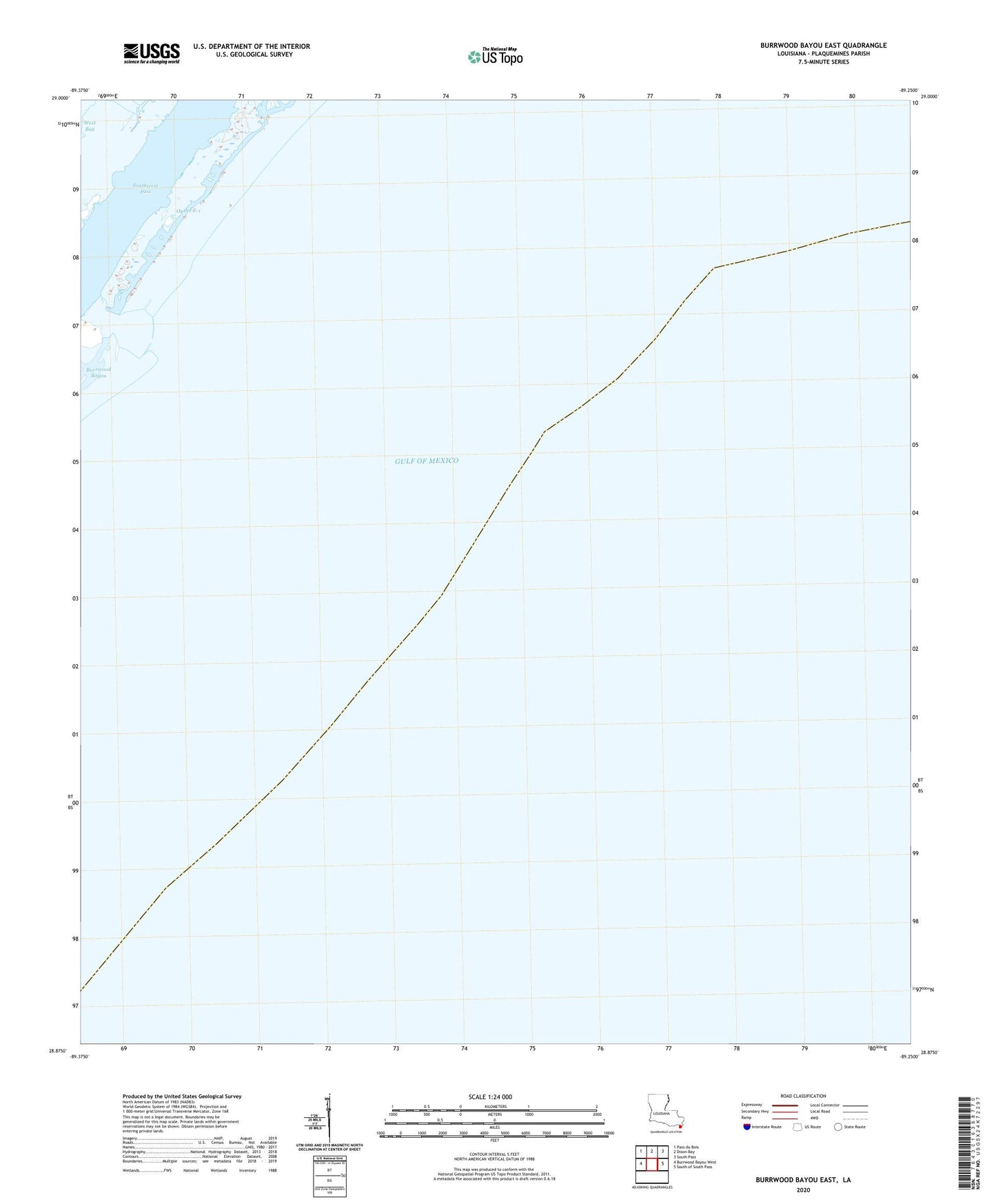
2025 topographic map quadrangle Burrwood Bayou East in the state of Louisiana. Scale: 1:24000. Based on the newly updated USGS 7.5' US Topo map series, this map is in the following counties: Plaquemines. The map contains contour data, water features, and other items you are used to seeing on USGS maps, but also has updated roads and other features. This is the next generation of topographic maps. Printed on high-quality waterproof paper with UV fade-resistant inks.
Quads adjacent to this one:
West: Burrwood Bayou West
Northwest: Pass du Bois
North: Dixon Bay
Northeast: South Pass
East: South of South Pass
This map covers the same area as the classic USGS quad with code o28089h3.
Contains the following named places: Block 27 Oil Field, Block 83 Oil Field, Burrwood Bayou, E-5 Tank Battery Seaplane Base