MyTopo
Dixon Bay Louisiana US Topo Map
Couldn't load pickup availability
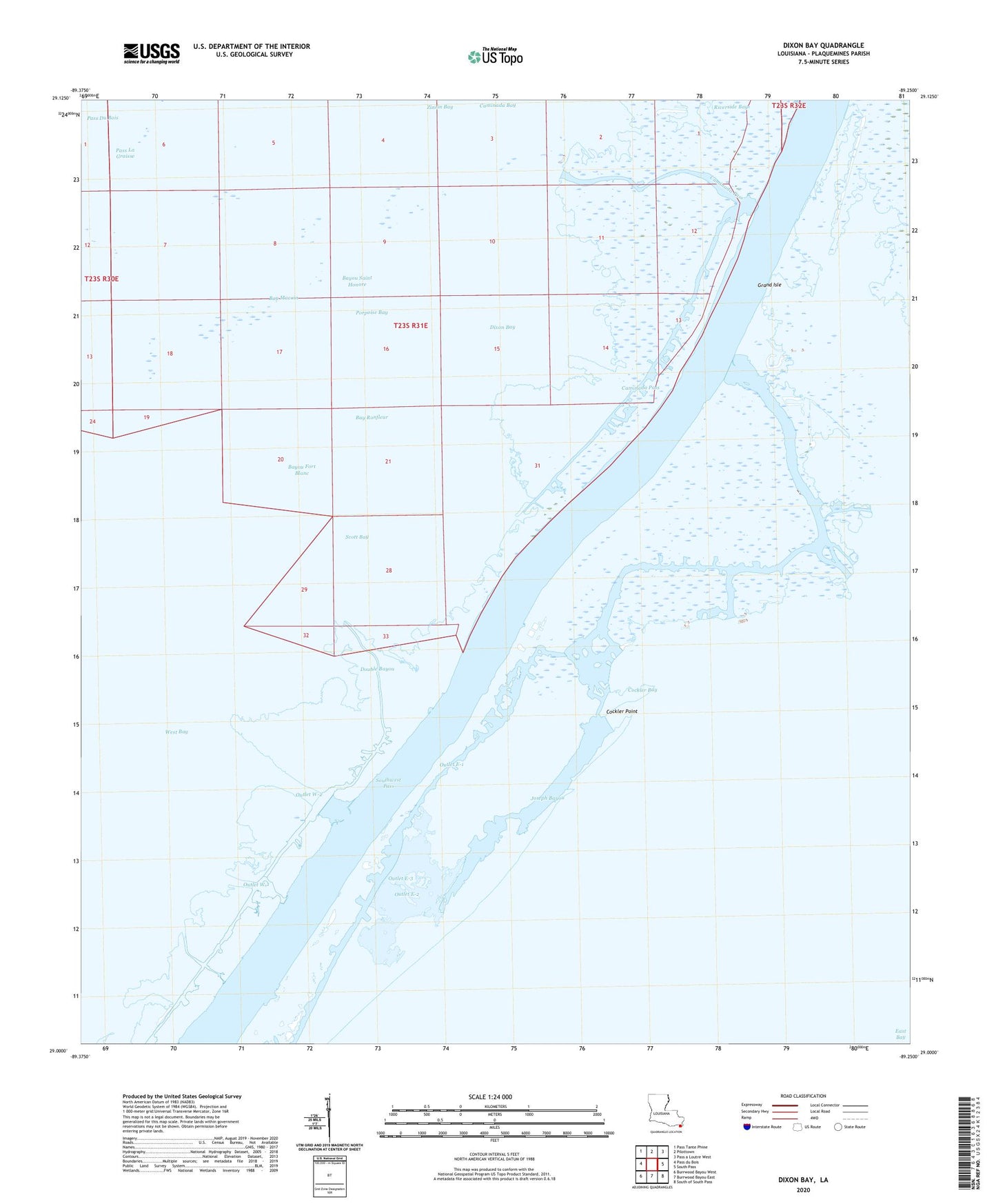
2024 topographic map quadrangle Dixon Bay in the state of Louisiana. Scale: 1:24000. Based on the newly updated USGS 7.5' US Topo map series, this map is in the following counties: Plaquemines. The map contains contour data, water features, and other items you are used to seeing on USGS maps, but also has updated roads and other features. This is the next generation of topographic maps. Printed on high-quality waterproof paper with UV fade-resistant inks.
Quads adjacent to this one:
West: Pass du Bois
Northwest: Pass Tante Phine
North: Pilottown
Northeast: Pass a Loutre West
East: South Pass
Southeast: South of South Pass
South: Burrwood Bayou East
Southwest: Burrwood Bayou West
This map covers the same area as the classic USGS quad with code o29089a3.
Contains the following named places: Bay Macoin, Bay Ronfleur, Bayou Fort Blanc, Bayou Saint Honore, Block 24 Oil Field, Block 52 Oil Field, Block 53 Oil and Gas Field, Bob Taylors Pond, Caminada Pass, Chevron Southpass Tank Battery W-2 Heliport, Cockler Bay, Cockler Point, Customhouse Bayou, Dixon Bay, Double Bayou, E-3 Tank Battery Seaplane Base, East Bay, East Bay Oil Field, Joseph Bayou, Outlet E-1, Outlet E-2, Outlet E-3, Outlet W-1, Outlet W-2, Pass La Graisse, Porpoise Bay, Scott Bay, Shell Central Facilities East Bay Block 24 Heliport, Shell Central Facilities Seaplane Base, Southwest Pass, W-1 Tank Battery Seaplane Base, W-2 Tank Battery Seaplane Base, ZIP Code: 70091