MyTopo
Caminada Pass Louisiana US Topo Map
Couldn't load pickup availability
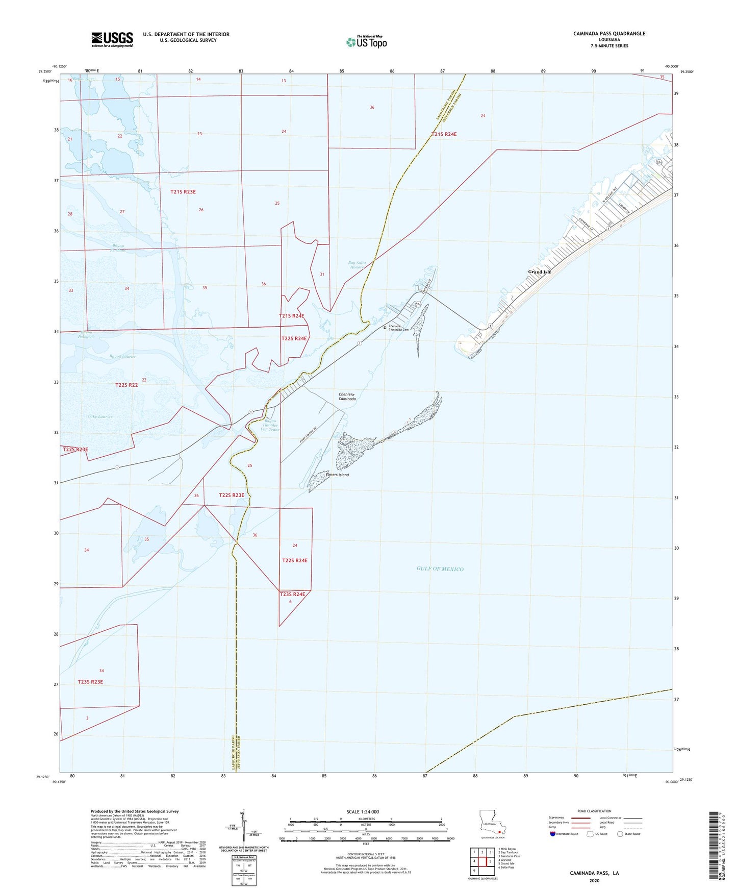
2025 topographic map quadrangle Caminada Pass in the state of Louisiana. Scale: 1:24000. Based on the newly updated USGS 7.5' US Topo map series, this map is in the following counties: Lafourche, Jefferson. The map contains contour data, water features, and other items you are used to seeing on USGS maps, but also has updated roads and other features. This is the next generation of topographic maps. Printed on high-quality waterproof paper with UV fade-resistant inks.
Quads adjacent to this one:
West: Leeville
Northwest: Mink Bayou
North: Bay Tambour
Northeast: Barataria Pass
East: Grand Isle
Southwest: Belle Pass
This map covers the same area as the classic USGS quad with code o29090b1.
Contains the following named places: Bay Saint Honore, Bayou Ferblanc, Bayou Laurier, Bayou Palourde, Bayou Thunder Von Tranc, Chemin Du Fort Blanc, Cheniere Caminada, Cheniere Caminada Cemetery, Elmers Island, Fort Blanc, Town of Grand Isle, Ward Eleven, ZIP Code: 70358