MyTopo
Central Isles Dernieres Louisiana US Topo Map
Couldn't load pickup availability
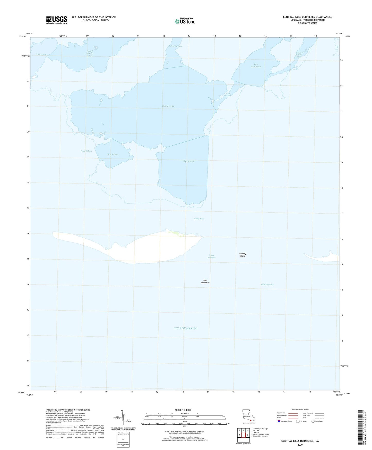
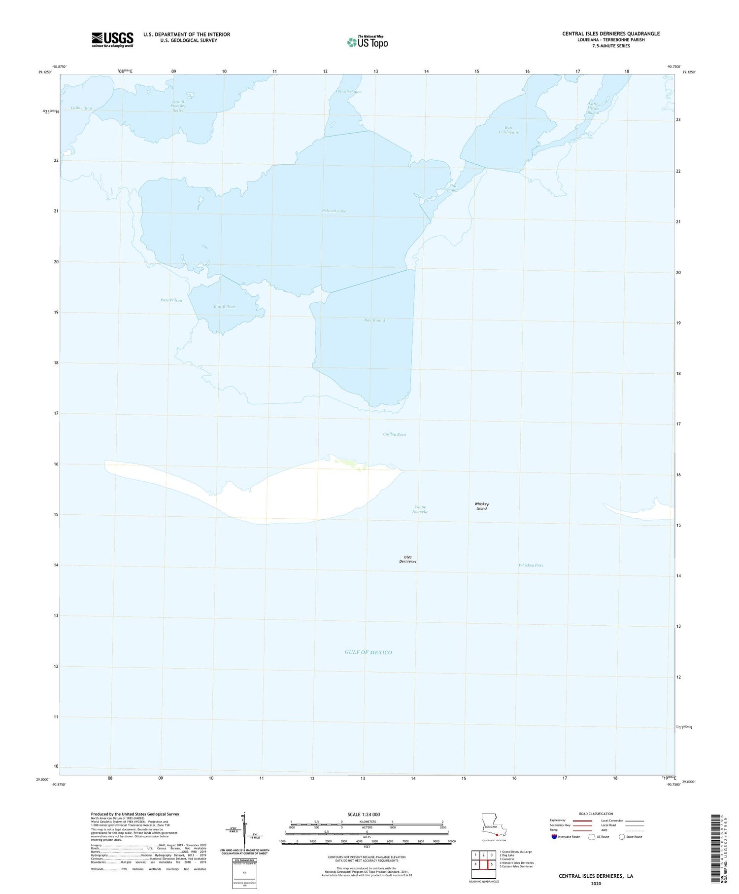
2025 topographic map quadrangle Central Isles Dernieres in the state of Louisiana. Scale: 1:24000. Based on the newly updated USGS 7.5' US Topo map series, this map is in the following counties: Terrebonne. The map contains contour data, water features, and other items you are used to seeing on USGS maps, but also has updated roads and other features. This is the next generation of topographic maps. Printed on high-quality waterproof paper with UV fade-resistant inks.
Quads adjacent to this one:
West: Western Isles Dernieres
Northwest: Grand Bayou du Large
North: Dog Lake
Northeast: Cocodrie
East: Eastern Isles Dernieres
This map covers the same area as the classic USGS quad with code o29090a7.
Contains the following named places: Bay California, Bay Round, Bay Wilson, Caillou Boca, Coupe Nouvelle, Flat Bayou, Isles Dernieres, Pass Wilson, Pelican Bayou, Pelican Lake, Pelican Lake Gas Field, Whiskey Island, Whiskey Pass