MyTopo
Cocodrie Louisiana US Topo Map
Couldn't load pickup availability
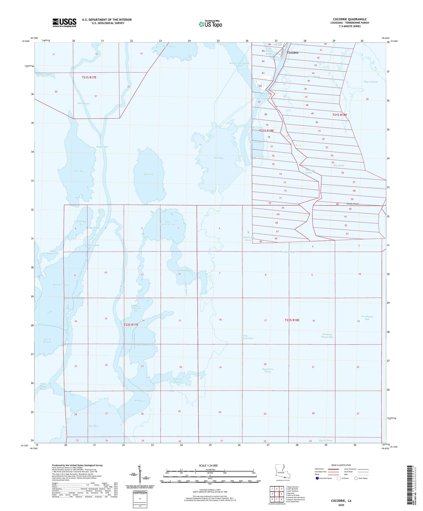
2024 topographic map quadrangle Cocodrie in the state of Louisiana. Scale: 1:24000. Based on the newly updated USGS 7.5' US Topo map series, this map is in the following counties: Terrebonne. The map contains contour data, water features, and other items you are used to seeing on USGS maps, but also has updated roads and other features. This is the next generation of topographic maps. Printed on high-quality waterproof paper with UV fade-resistant inks.
Quads adjacent to this one:
West: Dog Lake
Northwest: Bayou Sauveur
North: Lake Quitman
Northeast: Lake Tambour
East: Lake La Graisse
Southeast: Cat Island Pass
South: Eastern Isles Dernieres
Southwest: Central Isles Dernieres
This map covers the same area as the classic USGS quad with code o29090b6.
Contains the following named places: Austrian Bayou, Bay Cocodrie, Bay Coon Road, Bay Couteau, Bay Long, Bay Pumpkin, Bay Sainte Elaine, Bay Sainte Elaine Oil and Gas Field, Bay Sale, Bay Touch-me-not, Bay Welsh, Bayou Big Parasol, Bayou Netouche Pas, Bayou Sale, Big Bayou Jose, Cocodrie, Cocodrie Heliport, Cooke Point, Crooked Bayou, Deer Bay, Deer Bayou, East Bayou, Little Bay Jose, Little Bayou Jose, Little Cocodrie Bayou, Mangrove Bay, Moss Bay, Oak Bayou, Odeco Cocodrie Heliport, Oyster Bayou, Sainte Elaine Pass, Salt Bay Gas Field, Tambour Bay, Tambour Cutoff, Troiscent Piquets Bay