MyTopo
Mount Olive Louisiana US Topo Map
Couldn't load pickup availability
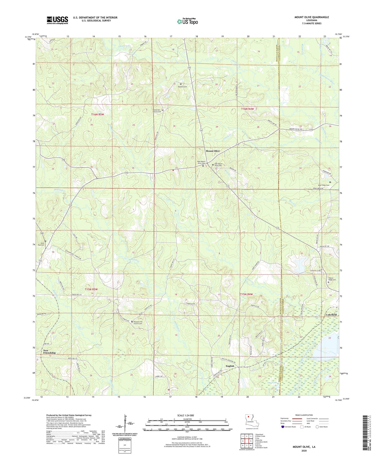
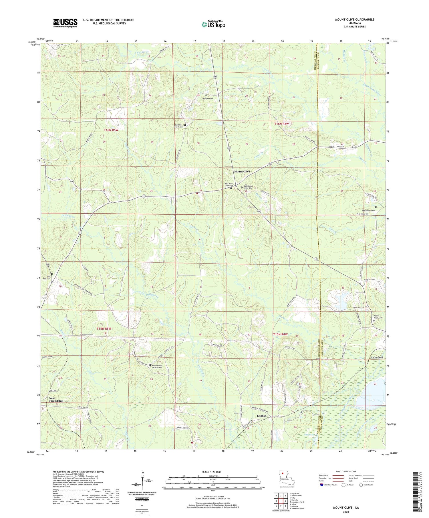
2020 topographic map quadrangle Mount Olive in the state of Louisiana. Scale: 1:24000. Based on the newly updated USGS 7.5' US Topo map series, this map is in the following counties: Bienville, Jackson. The map contains contour data, water features, and other items you are used to seeing on USGS maps, but also has updated roads and other features. This is the next generation of topographic maps. Printed on high-quality waterproof paper with UV fade-resistant inks.
Quads adjacent to this one:
West: Bienville
Northwest: Bryceland
North: Wilson Creek
Northeast: Clay
East: Jonesboro North
Southeast: Jonesboro South
South: Danville
Southwest: Saline
Contains the following named places: Bear Creek, Bienville Parish Fire Protection Ward 7 Station 6 Eastside, Bienville Parish Fire Protection Ward 7 Station 7 Mount Olive, Camp, Caney Creek, Coulee Creek, East Mount Olive Cemetery, English, Gum Pond, Hunt, Lakefield, Madden Creek, Mount Olive, Mount Olive Baptist Church, New Friendship, Pleasant Hill School, Saint Paul School, Sand Hill School, Sweet Home Church, Walnut Ridge Baptist Church, Walnut Ridge Cemetery, West Mount Olive Cemetery