MyTopo
Newellton Louisiana US Topo Map
Couldn't load pickup availability
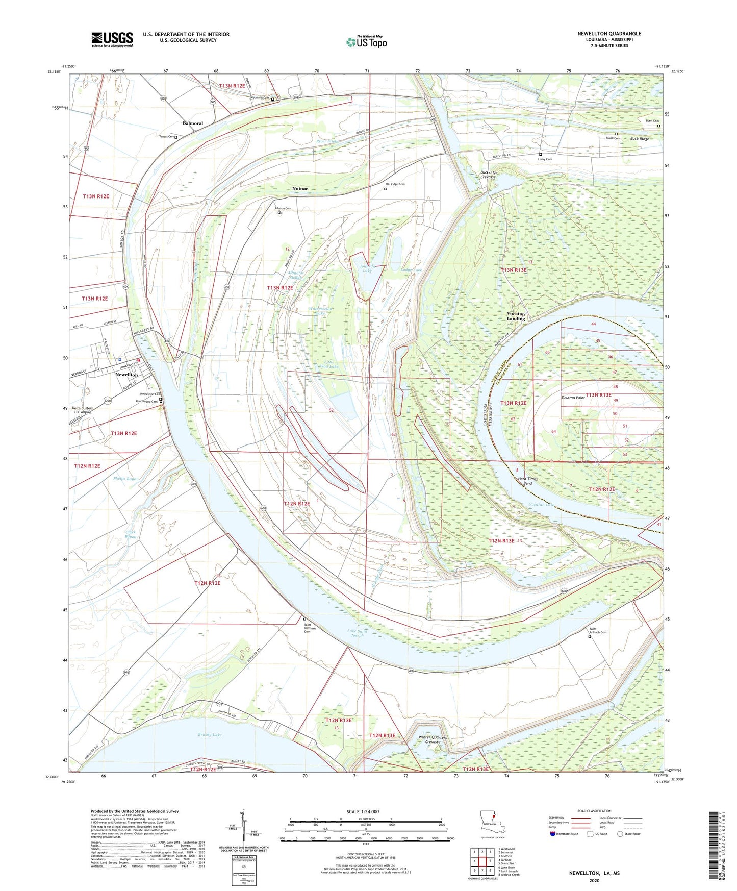
2024 topographic map quadrangle Newellton in the states of Louisiana, Mississippi. Scale: 1:24000. Based on the newly updated USGS 7.5' US Topo map series, this map is in the following counties: Tensas, Claiborne. The map contains contour data, water features, and other items you are used to seeing on USGS maps, but also has updated roads and other features. This is the next generation of topographic maps. Printed on high-quality waterproof paper with UV fade-resistant inks.
Quads adjacent to this one:
West: Saranac
Northwest: Westwood
North: Somerset
Northeast: Bedford
East: Grand Gulf
Southeast: Widows Creek
South: Saint Joseph
Southwest: Lake Bruin
Contains the following named places: Alligator Slough, Balmoral, Black River, Black Water Plantation, Bland Cemetery, Blue Hole, Broadroom Church, Buck Ridge, Buckridge Crevasse, Burn Cemetery, Canton Cemetery, Clark Bayou, Delta Dusters LLC Airport, Elk Ridge Cemetery, Franklin Spur, Greenfield Church, Grudge Ditch, Hard Times Bend, Hard Times Bend Revetment, Hopkins Plantation, Jerusalem Church, Johnson Lake, Lake Bruin, Lake Saint Joseph, Lemy Cemetery, Little Flag Lake, Little Johnson Lake, Lodge Lake, Mud Lake, Newellton, Newellton Cemetery, Newellton Elementary School, Newellton Police Department, Notnac, Parish Governing Authority District 2, Parish Governing Authority District 3, Phelps Bayou, Pleasant Green Church, Raritan Plantation, River Sticks, Routhwood Cemetery, Ruthwood Elementary School, Saint Antioch Cemetery, Saint Antioch Church, Saint Antioch School, Saint Church, Saint Luke Church, Saint Matthew Cemetery, Saint Matthew Church, Saint Peter Church, Solomon Church, Spurgeon Church, Tensas Cemetery, Tensas Parish Fire District 1 Station 1, Town of Newellton, Ward Three, Ward Two, Watermelon Lake, White Oak Lake, Winter Quarters Crevasse, Winter Quarters Plantation, Winter Quarters State Historic Site, Wyoming Cemetery, Wyoming Plantation, Yucatan Lake, Yucatan Landing, Yucatan Point


