MyTopo
Newlight Louisiana US Topo Map
Couldn't load pickup availability
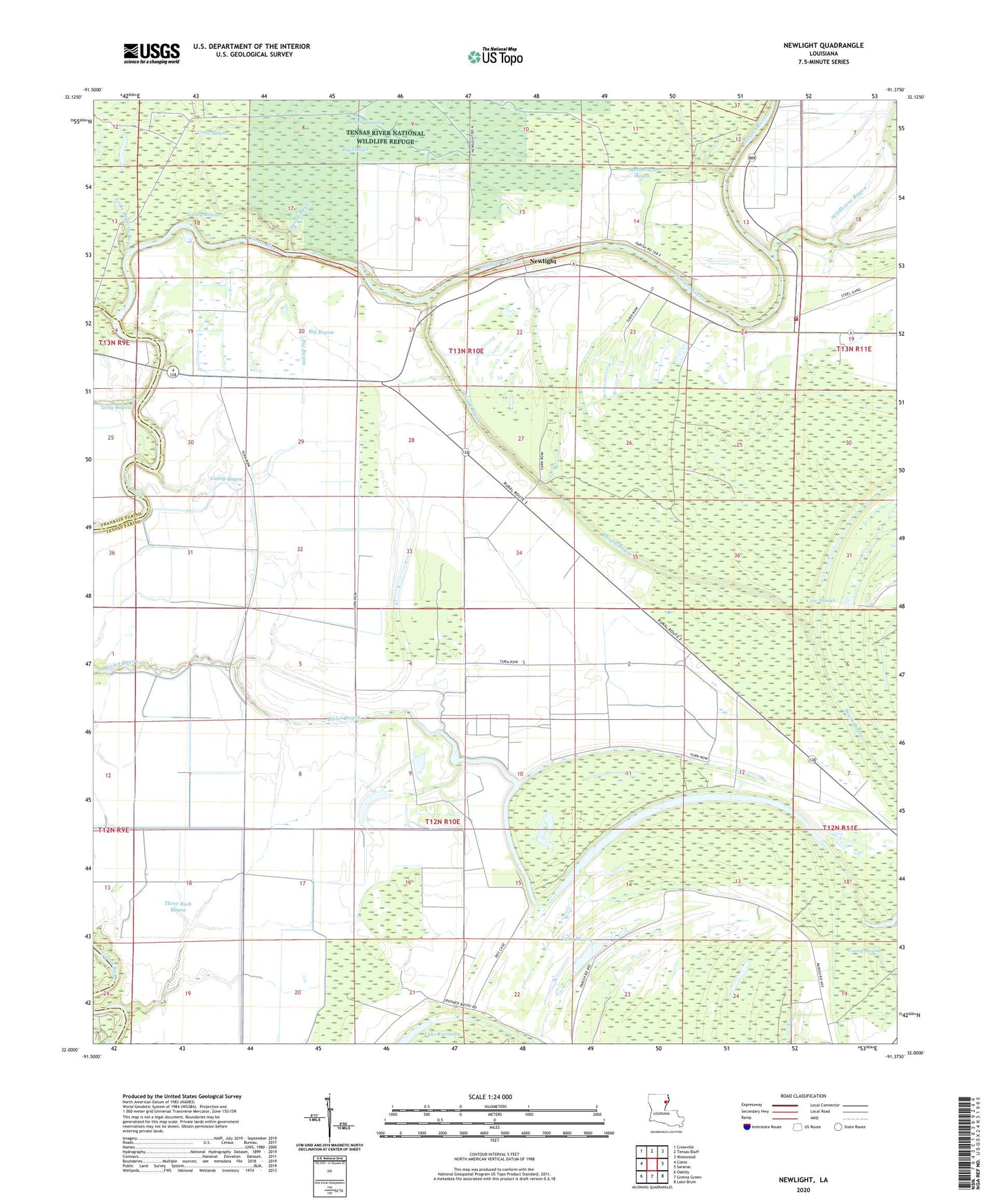
2024 topographic map quadrangle Newlight in the state of Louisiana. Scale: 1:24000. Based on the newly updated USGS 7.5' US Topo map series, this map is in the following counties: Tensas, Franklin. The map contains contour data, water features, and other items you are used to seeing on USGS maps, but also has updated roads and other features. This is the next generation of topographic maps. Printed on high-quality waterproof paper with UV fade-resistant inks.
Quads adjacent to this one:
West: Como
Northwest: Crowville
North: Tensas Bluff
Northeast: Westwood
East: Saranac
Southeast: Lake Bruin
South: Gretna Green
Southwest: Oakley
This map covers the same area as the classic USGS quad with code o32091a4.
Contains the following named places: Bengal Slough, Bieler Bayou, Big Bayou, Big Roaring Bayou, Big Slough, Caney Bayou, Ferry Newlight Landing, Glade Bayou Landing, Glade Bayou Oil Field, Hopaka Lake, Lake Formosa Oil Field, Lake Marydale, Lake Misery, Little Roaring Bayou, Long Bayou, Magnolia Church, Magnolia School, Marydale Plantation, McPherson Bayou, Mound Bayou, Newlight, Newlight Oil, North Lake Marydale Oil Field, Pecan Landing, Pecan Landing Oil Field, Remolina Landing, Sandy Bayou, Skeeter Lake, Tensas Parish Fire District 1 Station 5, Three Buck Bayou, Turkey Lake, West Newlight Oil and Gas Field