MyTopo
Pelican Pass Louisiana US Topo Map
Couldn't load pickup availability
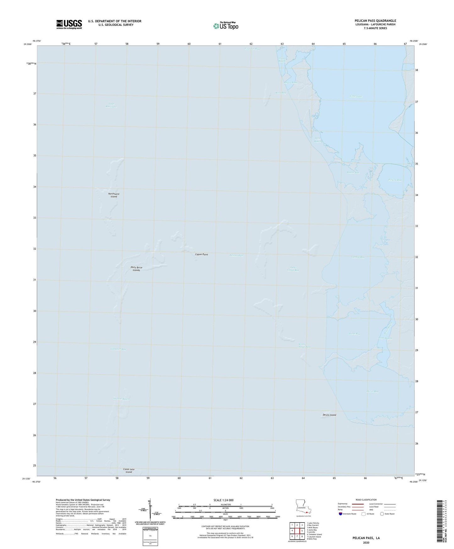
2024 topographic map quadrangle Pelican Pass in the state of Louisiana. Scale: 1:24000. Based on the newly updated USGS 7.5' US Topo map series, this map is in the following counties: Lafourche. The map contains contour data, water features, and other items you are used to seeing on USGS maps, but also has updated roads and other features. This is the next generation of topographic maps. Printed on high-quality waterproof paper with UV fade-resistant inks.
Quads adjacent to this one:
West: Jacko Bay
Northwest: Lake Felicity
North: Bay Courant
Northeast: Mink Bayou
East: Leeville
Southeast: Belle Pass
South: Calumet Island
Southwest: Timbalier Island
This map covers the same area as the classic USGS quad with code o29090b3.
Contains the following named places: Bayou Blue, Bayou Rosa, Capon Point, Coal Tar Bay, Deep Bayou, Devils Bay, Devils Island, Jacko Camp Bay, Lake Barre Oil and Gas Field, Lake Raccourci, Landry Bay, Little Lake, Northwest Island, Pearl Bayou, Pelican Pass, Philo Brice Islands, Pickett Bay, Pierle Bay, Rosa Bay, Shallow Bayou, Timbalier Bay, Wrong Name Pass