MyTopo
Bay Courant Louisiana US Topo Map
Couldn't load pickup availability
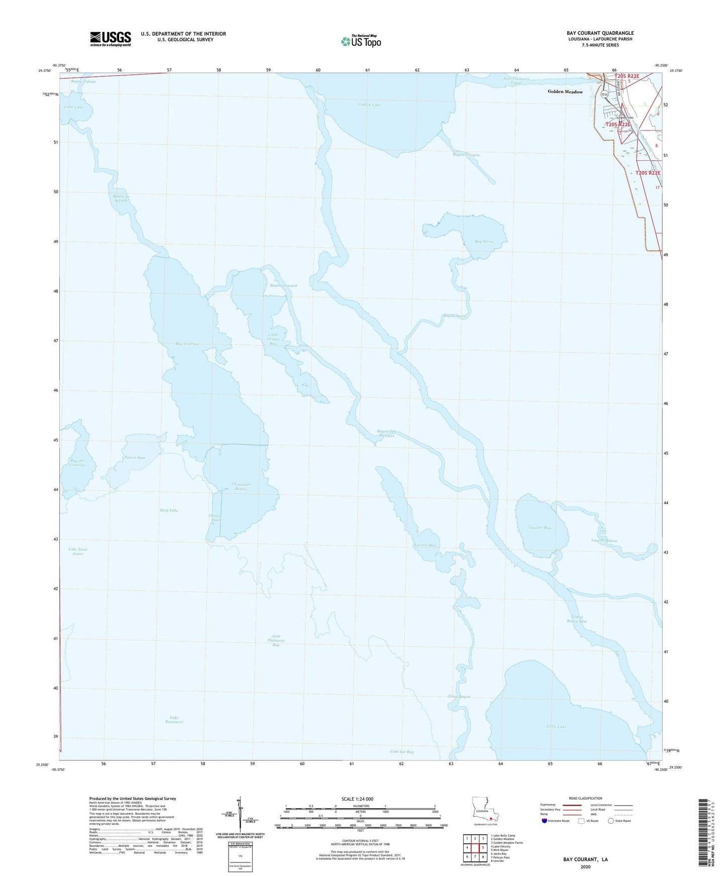
2024 topographic map quadrangle Bay Courant in the state of Louisiana. Scale: 1:24000. Based on the newly updated USGS 7.5' US Topo map series, this map is in the following counties: Lafourche. The map contains contour data, water features, and other items you are used to seeing on USGS maps, but also has updated roads and other features. This is the next generation of topographic maps. Printed on high-quality waterproof paper with UV fade-resistant inks.
Quads adjacent to this one:
West: Lake Felicity
Northwest: Lake Bully Camp
North: Golden Meadow
Northeast: Golden Meadow Farms
East: Mink Bayou
Southeast: Leeville
South: Pelican Pass
Southwest: Jacko Bay
This map covers the same area as the classic USGS quad with code o29090c3.
Contains the following named places: Bay Courant, Bay des Conards, Bay Sevin, Bayou Courant, Bayou de la Valle, Bayou Grisgris, Bayou Pierre Et Lee, Bayou Sevin, Bayou Tete De Ours, Calm Lake, China Bayou, Chinaman Bayou, Chinois Pass, Courant Bay Gas Field, Deep Lake, Golden Meadow Oil and Gas Field, Grand Bayou Blue, Jean Plaisance Bay, Jean Plaisance Canal, Lacroix Bay, Lake Raccourci Oil and Gas Field, Lake Trois Jeans, Laurier Bay, Laurier Bayou, Little Grand Bay, Northwest Leeville Gas Field, Pass a Jean, Surgney Cemetery