MyTopo
Triumph Louisiana US Topo Map
Couldn't load pickup availability
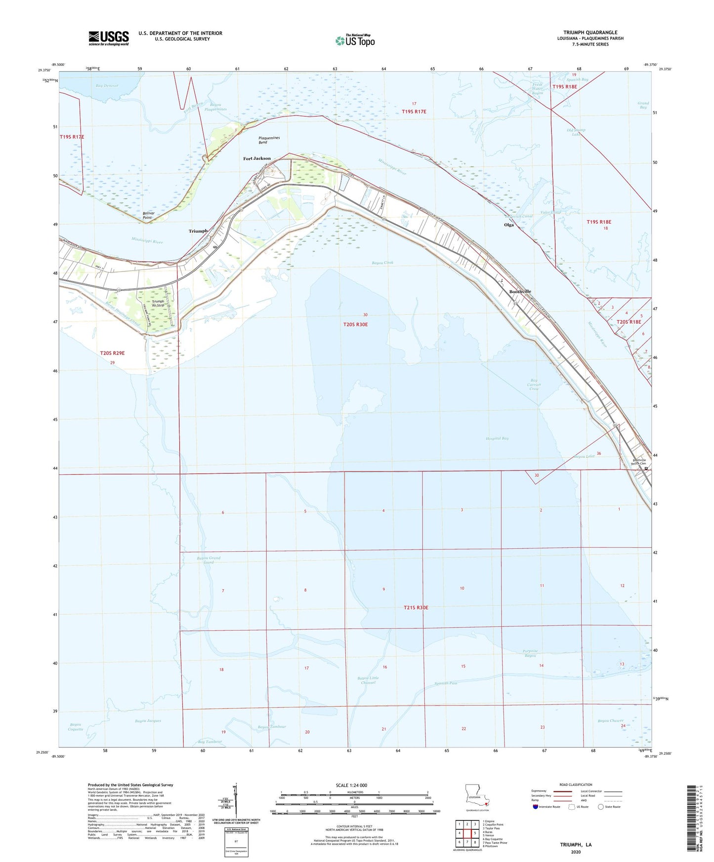
2024 topographic map quadrangle Triumph in the state of Louisiana. Scale: 1:24000. Based on the newly updated USGS 7.5' US Topo map series, this map is in the following counties: Plaquemines. The map contains contour data, water features, and other items you are used to seeing on USGS maps, but also has updated roads and other features. This is the next generation of topographic maps. Printed on high-quality waterproof paper with UV fade-resistant inks.
Quads adjacent to this one:
West: Buras
Northwest: Empire
North: Coquille Point
Northeast: Taylor Pass
East: Venice
Southeast: Pilottown
South: Pass Tante Phine
Southwest: Bay Coquette
This map covers the same area as the classic USGS quad with code o29089c4.
Contains the following named places: Battery Brooke, Battery Forse, Battery Merrill, Battery Millar, Battery Pike, Battery Ransom, Battery Ridgely, Battery Scott, Bay Carrion Crow, Bay Jacques, Bayou Cirek, Bayou Coquette, Bayou Dum Barr, Bayou Grand Liard, Bayou Jacques, Bayou Lelet, Bayou Little Channel, Bayou Petit Liard, Bayou Plaquemines, Bayou Tambour, Bolivar Point, Boothville, Boothville Census Designated Place, Boothville Post Office, Boothville Venice Cemetery, Boothville Venice Elementary School, Boothville Wastewater Treatment Facility, Boothville-Venice Census Designated Place, Buras Drainage Canal, Buras Post Office, Chicharas Bay, Colum-Bel Cut, Duvic, Faith Temple, Fort Jackson, Fort Jackson Gas Field, Fort Jackson Museum, Fort Saint Philip, Fort Saint Philip Gas Field, Fort Saint Phillip, Fresh Water Bayou, Grand Bayou Carrion Crow, Gulftown, Hospital Bay, Jurjevich Canal, KESN-FM (Buras Triumph), Lower Childress-Fort Jackson Revetment, Mount Olive Church, Old Stump Lake, Olga, Olga Light, Plaquemines Bend, Porpoise Bayou, Spanish Bay, Spanish Pass, Triumph, Triumph Air Strip, Triumph Census Designated Place, Valer Canal, Ward Three, Yellow Cotton Bay, ZIP Codes: 70038, 70041


