MyTopo
Wisner Louisiana US Topo Map
Couldn't load pickup availability
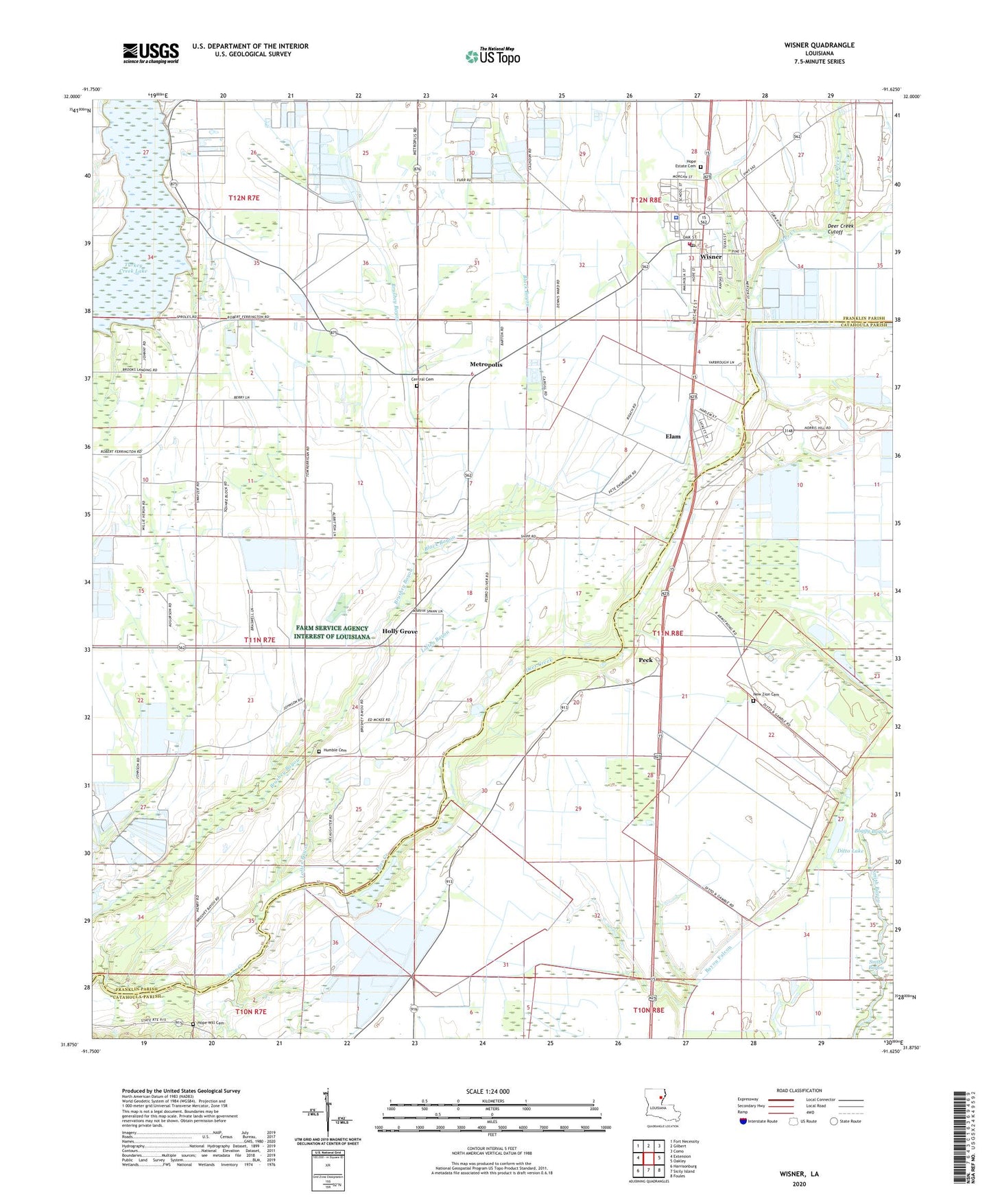
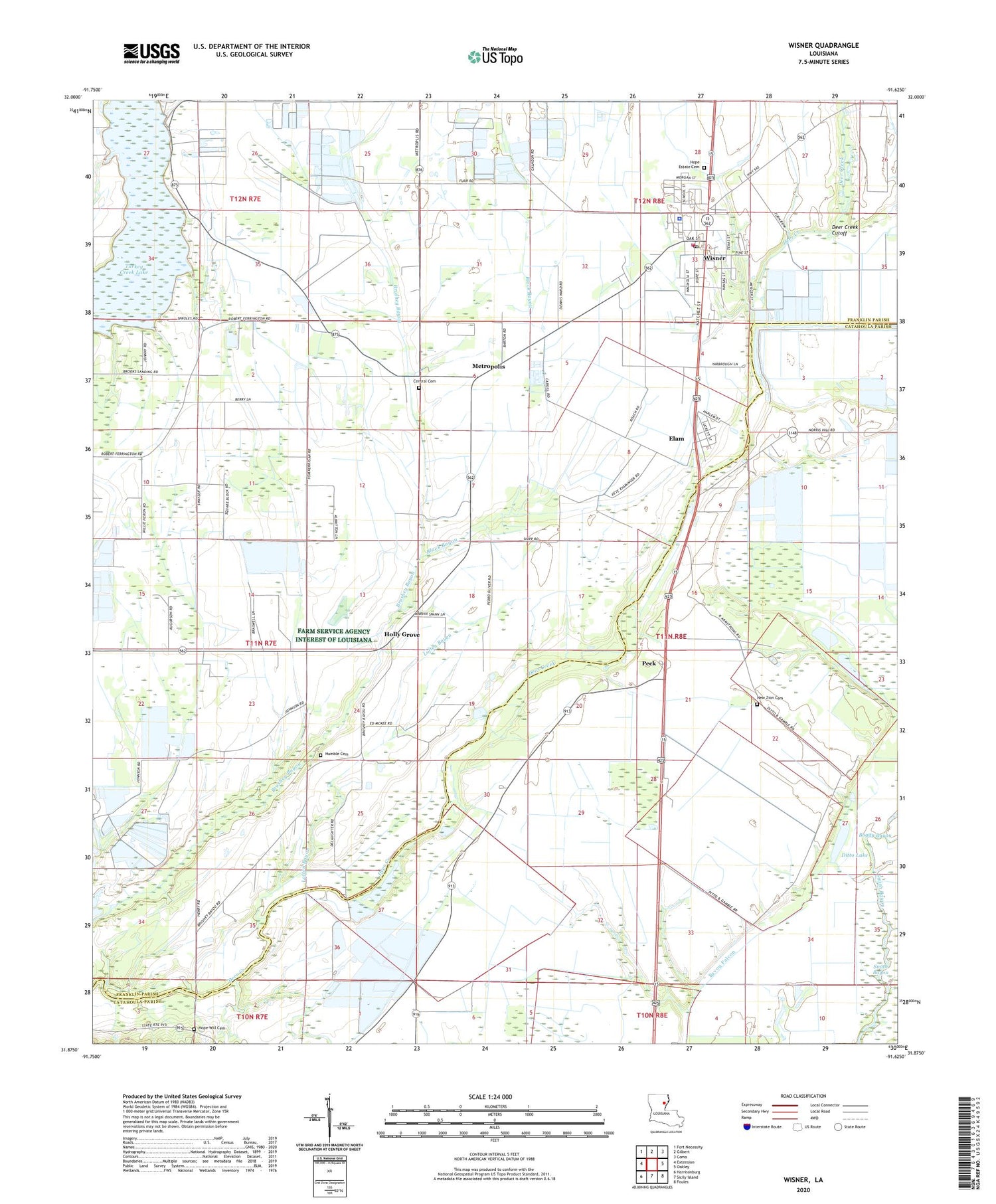
2020 topographic map quadrangle Wisner in the state of Louisiana. Scale: 1:24000. Based on the newly updated USGS 7.5' US Topo map series, this map is in the following counties: Franklin, Catahoula. The map contains contour data, water features, and other items you are used to seeing on USGS maps, but also has updated roads and other features. This is the next generation of topographic maps. Printed on high-quality waterproof paper with UV fade-resistant inks.
Quads adjacent to this one:
West: Extension
Northwest: Fort Necessity
North: Gilbert
Northeast: Como
East: Oakley
Southeast: Foules
South: Sicily Island
Southwest: Harrisonburg
Contains the following named places: Assembly of God Church, Black Bayou, Boggy Bayou, Central Cemetery, Central Church, Ditto Lake, Elam, Green Lake, Holly Grove, Hope Estate Cemetery, Hope Well Church, Hope Will Cemetery, Humble Cemetery, Loften Bayou, Metropolis, Mount Olive Church, Natchez Fort, New Alpha and Omega Church, New Light Church, New Zion Cemetery, New Zion Church, Norris Hill Church, North Sicily Island Gas Field, Parish Governing Authority District 7, Peck, Saint Paul Church Number 2, Saint Peter's Church, Sims Lake, Smith Bayou, Town of Wisner, Turkey Creek Lake, Ward One, Willis Lake, Wisner, Wisner Elementary School, Wisner High School, Wisner Oil Field, Wisner Police Department, Wisner Post Office, Wisner Volunteer Fire Department, Yarbrough Brothers Airstrip, ZIP Codes: 71368, 71378