MyTopo
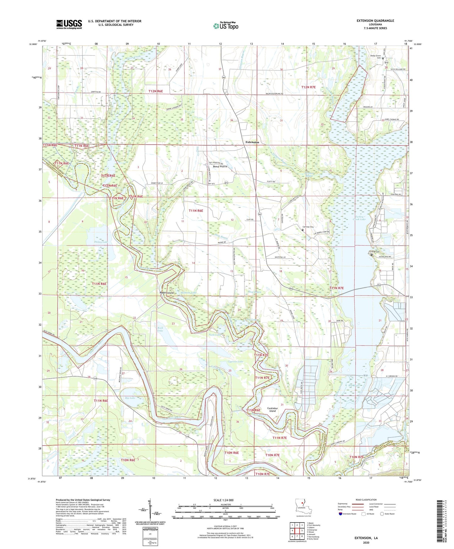
Extension Louisiana US Topo Map
Couldn't load pickup availability
2024 topographic map quadrangle Extension in the state of Louisiana. Scale: 1:24000. Based on the newly updated USGS 7.5' US Topo map series, this map is in the following counties: Franklin, Catahoula. The map contains contour data, water features, and other items you are used to seeing on USGS maps, but also has updated roads and other features. This is the next generation of topographic maps. Printed on high-quality waterproof paper with UV fade-resistant inks.
Quads adjacent to this one:
West: Enterprise
Northwest: Mason
North: Fort Necessity
Northeast: Gilbert
East: Wisner
Southeast: Sicily Island
South: Harrisonburg
Southwest: Aimwell
This map covers the same area as the classic USGS quad with code o31091h7.
Contains the following named places: Barnett Lake, Big Brake, Big Lake, Boeuf Prairie, Brush Lake, Brushey Bayou, Carrway Cemetery, Cocklebur Island, Cutoff Bayou, Cypress Lake, Dailey Lake, Dry Lake, Duck Creek, Extension, Flowers Bayou, Fool River, Goose Creek, Grayson Bayou, Guice Lake, Hicktom Lake, Jones Landing, King Cemetery, King Church, Locust Hill Baptist Church, Long Branch, Open Lake, Ouachita Church, Prickett Bayou, Rabbit Island, Rock Lake, Shady Grove Baptist Church, Shady Grove Cemetery, Shop Bayou, Sunk Lake, Turkey Creek, Turkey Creek Dam, Turkey Creek Lake Airport, Ward Nine, West Turkey Creek, ZIP Codes: 71243, 71425


